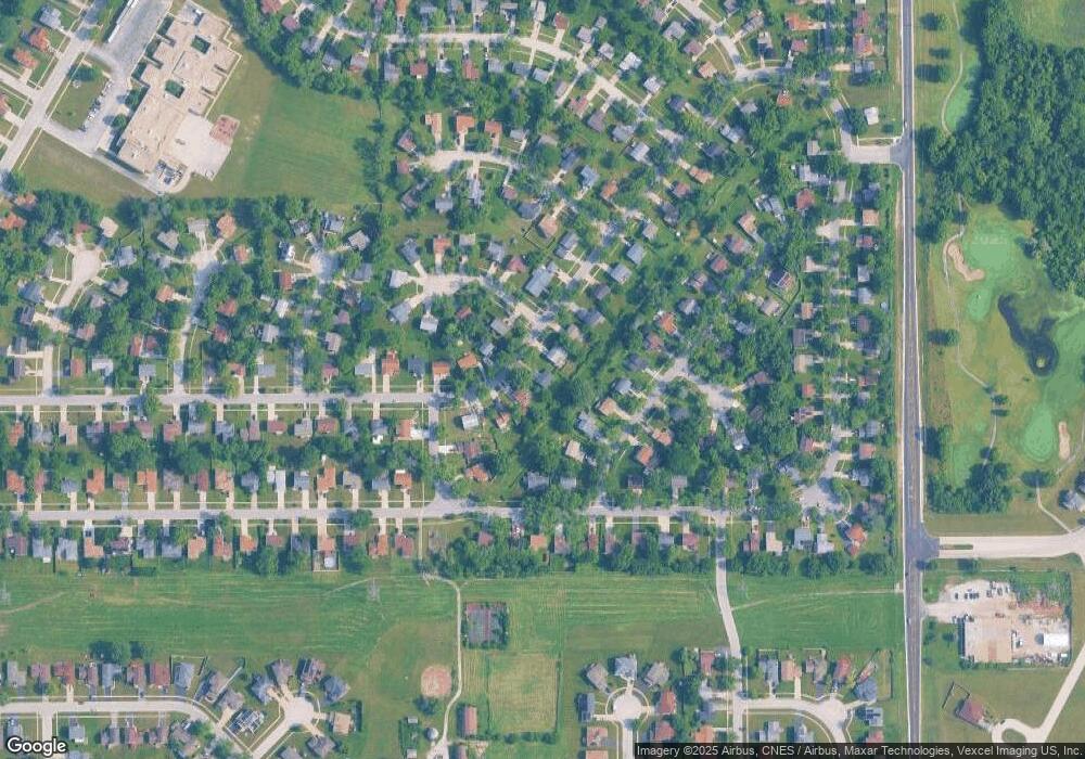
1053 Abbott Ln Unit 1 University Park, IL 60484
Estimated Value: $191,000 - $224,000
3
Beds
2
Baths
1,600
Sq Ft
$129/Sq Ft
Est. Value
About This Home
This home is located at 1053 Abbott Ln Unit 1, University Park, IL 60484 and is currently estimated at $207,139, approximately $129 per square foot. 1053 Abbott Ln Unit 1 is a home located in Will County with nearby schools including Balmoral Elementary School, Crete-Monee Middle School, and Crete-Monee High School.
Ownership History
Date
Name
Owned For
Owner Type
Purchase Details
Closed on
Feb 8, 2011
Sold by
Standard Bank & Trust Company
Bought by
Spruiel Shirley A
Current Estimated Value
Home Financials for this Owner
Home Financials are based on the most recent Mortgage that was taken out on this home.
Original Mortgage
$104,189
Outstanding Balance
$73,682
Interest Rate
5.5%
Mortgage Type
FHA
Estimated Equity
$133,457
Purchase Details
Closed on
Aug 9, 2010
Sold by
Si Securities Llc
Bought by
Standard Bank & Trust Company and Trust #16560
Purchase Details
Closed on
Mar 8, 2010
Sold by
Voots Nancy Schultz
Bought by
S I Securities Llc
Create a Home Valuation Report for This Property
The Home Valuation Report is an in-depth analysis detailing your home's value as well as a comparison with similar homes in the area
Home Values in the Area
Average Home Value in this Area
Purchase History
| Date | Buyer | Sale Price | Title Company |
|---|---|---|---|
| Spruiel Shirley A | $106,900 | Fatic | |
| Standard Bank & Trust Company | $25,000 | First American Title | |
| S I Securities Llc | -- | None Available |
Source: Public Records
Mortgage History
| Date | Status | Borrower | Loan Amount |
|---|---|---|---|
| Open | Spruiel Shirley A | $104,189 |
Source: Public Records
Tax History Compared to Growth
Tax History
| Year | Tax Paid | Tax Assessment Tax Assessment Total Assessment is a certain percentage of the fair market value that is determined by local assessors to be the total taxable value of land and additions on the property. | Land | Improvement |
|---|---|---|---|---|
| 2024 | -- | $55,513 | $8,402 | $47,111 |
| 2023 | -- | $47,856 | $7,243 | $40,613 |
| 2022 | $5,933 | $42,097 | $6,371 | $35,726 |
| 2021 | $5,654 | $38,339 | $5,852 | $32,487 |
| 2020 | $5,607 | $37,096 | $5,662 | $31,434 |
| 2019 | $5,704 | $35,178 | $5,369 | $29,809 |
| 2018 | $5,597 | $33,826 | $5,255 | $28,571 |
| 2017 | $5,470 | $32,334 | $5,138 | $27,196 |
| 2016 | $5,186 | $30,605 | $4,941 | $25,664 |
| 2015 | $4,455 | $27,938 | $4,503 | $23,435 |
| 2014 | $4,455 | $27,552 | $4,441 | $23,111 |
| 2013 | $4,455 | $28,850 | $4,650 | $24,200 |
Source: Public Records
Map
Nearby Homes
- 1039 Abbot Ln
- 1032 Samson Dr
- 1109 Abbot Ln
- 1029 Samson Dr
- 1039 Barrow Ct
- 537 Nathan Rd
- 1031 Blackhawk Dr
- 613 Farmview Rd
- 740 Mission St
- 1244 Harvest Ln
- 543 Regent Rd
- 607 Sullivan Ln
- 903 Blackhawk Dr
- 608 Sullivan Ln
- 815 Blackhawk Dr
- 807 Blackhawk Dr
- 655 Sullivan Ln
- 662 Sullivan Ln
- 735 Union Dr
- 610 Sandra Dr
