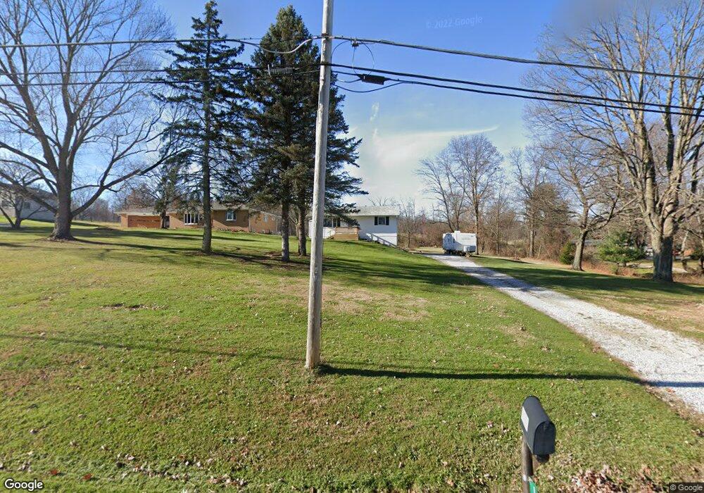
1053 Reed Rd Mansfield, OH 44903
Estimated Value: $168,000 - $181,000
2
Beds
2
Baths
988
Sq Ft
$176/Sq Ft
Est. Value
About This Home
This home is located at 1053 Reed Rd, Mansfield, OH 44903 and is currently estimated at $173,755, approximately $175 per square foot. 1053 Reed Rd is a home located in Richland County with nearby schools including Madison High School, St. Mary Catholic School, and Temple-Christian School.
Ownership History
Date
Name
Owned For
Owner Type
Purchase Details
Closed on
Sep 10, 2021
Sold by
Jo Re Ma Llc
Bought by
Hunter Tonya S
Current Estimated Value
Home Financials for this Owner
Home Financials are based on the most recent Mortgage that was taken out on this home.
Original Mortgage
$106,250
Outstanding Balance
$91,382
Interest Rate
2.8%
Mortgage Type
Future Advance Clause Open End Mortgage
Estimated Equity
$82,373
Purchase Details
Closed on
Jan 25, 2007
Sold by
Matern Joseph P and Matern Reba K
Bought by
Jo Re Ma Llc
Purchase Details
Closed on
Jun 23, 2005
Sold by
Matern Joseph and Matern Reba K
Bought by
Martin Joseph and Matern Reba K
Purchase Details
Closed on
Jan 28, 1993
Bought by
Matern Joseph
Create a Home Valuation Report for This Property
The Home Valuation Report is an in-depth analysis detailing your home's value as well as a comparison with similar homes in the area
Home Values in the Area
Average Home Value in this Area
Purchase History
| Date | Buyer | Sale Price | Title Company |
|---|---|---|---|
| Hunter Tonya S | $125,000 | Chicago Title | |
| Jo Re Ma Llc | -- | Attorney | |
| Martin Joseph | -- | Chicago Title | |
| Matern Joseph | -- | -- |
Source: Public Records
Mortgage History
| Date | Status | Borrower | Loan Amount |
|---|---|---|---|
| Open | Hunter Tonya S | $106,250 |
Source: Public Records
Tax History Compared to Growth
Tax History
| Year | Tax Paid | Tax Assessment Tax Assessment Total Assessment is a certain percentage of the fair market value that is determined by local assessors to be the total taxable value of land and additions on the property. | Land | Improvement |
|---|---|---|---|---|
| 2024 | $2,124 | $42,060 | $7,320 | $34,740 |
| 2023 | $2,124 | $42,060 | $7,320 | $34,740 |
| 2022 | $1,478 | $26,960 | $5,870 | $21,090 |
| 2021 | $1,515 | $26,960 | $5,870 | $21,090 |
| 2020 | $1,526 | $26,960 | $5,870 | $21,090 |
| 2019 | $1,376 | $22,670 | $4,930 | $17,740 |
| 2018 | $1,365 | $22,670 | $4,930 | $17,740 |
| 2017 | $1,343 | $22,670 | $4,930 | $17,740 |
| 2016 | $1,347 | $22,250 | $4,690 | $17,560 |
| 2015 | $1,347 | $22,250 | $4,690 | $17,560 |
| 2014 | $1,320 | $22,250 | $4,690 | $17,560 |
| 2012 | $637 | $23,420 | $4,930 | $18,490 |
Source: Public Records
Map
Nearby Homes
- 2270 Lakecrest Dr Unit 2272
- 1910 Crider Rd
- 1997 Hout Rd
- 0 Satinwood Dr
- 630 Impala Dr
- 598 Impala Dr
- 1951 Woodmont Rd
- 640 Running Brook Way
- 1806 Richard Dr
- 903 Mayflower Ave
- 2202 Lakewood Dr
- 0 McBride Road Parcel # 1 Unit 9066028
- 1106 Keller Dr Unit 1108
- 609 Mcbride Rd
- 2750 Lutz Ave
- 1628 Park Ave E
- 76 Ford Rd N
- 76 Ford Rd N Unit 20
- 683 Coachman Rd
- 671 Coachman Rd