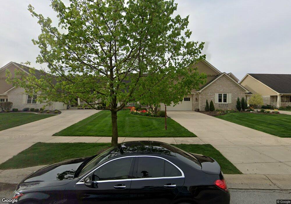
1053 Sterling Ct Crown Point, IN 46307
Estimated Value: $388,000 - $573,000
2
Beds
2
Baths
1,881
Sq Ft
$259/Sq Ft
Est. Value
About This Home
This home is located at 1053 Sterling Ct, Crown Point, IN 46307 and is currently estimated at $487,472, approximately $259 per square foot. 1053 Sterling Ct is a home located in Lake County with nearby schools including Timothy Ball Elementary School, Robert Taft Middle School, and Crown Point High School.
Ownership History
Date
Name
Owned For
Owner Type
Purchase Details
Closed on
Jul 25, 2012
Sold by
Reitz Martin G and Reitz Diane L
Bought by
Reitz Martin G and Reitz Diane L
Current Estimated Value
Purchase Details
Closed on
Nov 23, 2005
Sold by
Woodshop Llc
Bought by
Reitz Martin G and Reitz Diane L
Home Financials for this Owner
Home Financials are based on the most recent Mortgage that was taken out on this home.
Original Mortgage
$100,000
Outstanding Balance
$55,226
Interest Rate
6.17%
Mortgage Type
Fannie Mae Freddie Mac
Estimated Equity
$432,246
Create a Home Valuation Report for This Property
The Home Valuation Report is an in-depth analysis detailing your home's value as well as a comparison with similar homes in the area
Home Values in the Area
Average Home Value in this Area
Purchase History
| Date | Buyer | Sale Price | Title Company |
|---|---|---|---|
| Reitz Martin G | -- | None Available | |
| Reitz Martin G | -- | Ticor Title |
Source: Public Records
Mortgage History
| Date | Status | Borrower | Loan Amount |
|---|---|---|---|
| Open | Reitz Martin G | $100,000 |
Source: Public Records
Tax History Compared to Growth
Tax History
| Year | Tax Paid | Tax Assessment Tax Assessment Total Assessment is a certain percentage of the fair market value that is determined by local assessors to be the total taxable value of land and additions on the property. | Land | Improvement |
|---|---|---|---|---|
| 2024 | $12,733 | $481,100 | $60,900 | $420,200 |
| 2023 | $5,147 | $463,300 | $60,900 | $402,400 |
| 2022 | $4,807 | $428,900 | $60,900 | $368,000 |
| 2021 | $4,627 | $413,100 | $77,200 | $335,900 |
| 2020 | $4,423 | $395,100 | $77,200 | $317,900 |
| 2019 | $4,395 | $388,700 | $77,200 | $311,500 |
| 2018 | $5,484 | $380,600 | $77,200 | $303,400 |
| 2017 | $5,545 | $395,400 | $77,200 | $318,200 |
| 2016 | $5,443 | $365,000 | $77,200 | $287,800 |
| 2014 | $4,923 | $353,500 | $77,100 | $276,400 |
| 2013 | $4,475 | $351,800 | $77,200 | $274,600 |
Source: Public Records
Map
Nearby Homes
- 3604 W 104th Place
- 3725 W 105th Ave
- 7830 W 106th Ln
- 7770 W 106th Ln
- 1667 Chalone Ct
- 771 Kenmare Pkwy
- 767 Kenmare Pkwy
- 700 Meadow Ln
- 10813 Lane St
- 10710 Porter St
- 10729 Hanley St
- 5496 W 107th Ct
- 621 Pratt St
- 841 Veterans Ln
- 515 Holley Dr
- 221 Cedar St
- 222 Maple St
- 340 Cochran Dr
- 312 Summit Park Ct S
- 206 Birch St
- 1047 Sterling Ct
- 1055 Sterling Ct
- 1045 Sterling Ct
- 1061 Sterling Ct
- 1039 Sterling Ct
- 1063 Sterling Ct
- 1037 Sterling Ct
- 1069 Sterling Ct
- 1031 Sterling Ct
- 1050 Sterling Ct
- 1071 Sterling Ct
- 1048 Sterling Ct
- 1056 Sterling Ct
- 1042 Sterling Ct
- 1040 Sterling Ct
- 1058 Sterling Ct
- 1029 Sterling Ct
- 1077 Sterling Ct
- 1064 Sterling Ct
- 1034 Sterling Ct