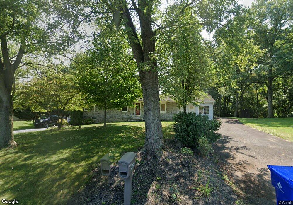
10530 Wharf Rd Waynesboro, PA 17268
Estimated Value: $178,000 - $321,663
3
Beds
2
Baths
1,248
Sq Ft
$212/Sq Ft
Est. Value
About This Home
This home is located at 10530 Wharf Rd, Waynesboro, PA 17268 and is currently estimated at $264,166, approximately $211 per square foot. 10530 Wharf Rd is a home located in Franklin County with nearby schools including Waynesboro Area Senior High School, St. Andrew Catholic School, and Noah's Ark Christian Child Care Center.
Ownership History
Date
Name
Owned For
Owner Type
Purchase Details
Closed on
Feb 5, 2024
Sold by
Patterson Kenneth A and Patterson Kristi L
Bought by
Baker Kristi L
Current Estimated Value
Purchase Details
Closed on
May 7, 2011
Sold by
Kranz John F and Kranz Wendy K
Bought by
Patterson Kenneth A and Baker Kristi L
Home Financials for this Owner
Home Financials are based on the most recent Mortgage that was taken out on this home.
Original Mortgage
$155,846
Interest Rate
4.5%
Mortgage Type
FHA
Create a Home Valuation Report for This Property
The Home Valuation Report is an in-depth analysis detailing your home's value as well as a comparison with similar homes in the area
Home Values in the Area
Average Home Value in this Area
Purchase History
| Date | Buyer | Sale Price | Title Company |
|---|---|---|---|
| Baker Kristi L | -- | None Listed On Document | |
| Patterson Kenneth A | $159,900 | None Available |
Source: Public Records
Mortgage History
| Date | Status | Borrower | Loan Amount |
|---|---|---|---|
| Previous Owner | Patterson Kenneth A | $155,846 |
Source: Public Records
Tax History Compared to Growth
Tax History
| Year | Tax Paid | Tax Assessment Tax Assessment Total Assessment is a certain percentage of the fair market value that is determined by local assessors to be the total taxable value of land and additions on the property. | Land | Improvement |
|---|---|---|---|---|
| 2025 | $2,696 | $18,480 | $1,200 | $17,280 |
| 2024 | $2,613 | $18,480 | $1,200 | $17,280 |
| 2023 | $2,541 | $18,480 | $1,200 | $17,280 |
| 2022 | $2,467 | $18,480 | $1,200 | $17,280 |
| 2021 | $2,393 | $18,480 | $1,200 | $17,280 |
| 2020 | $2,393 | $18,480 | $1,200 | $17,280 |
| 2019 | $2,338 | $18,480 | $1,200 | $17,280 |
| 2018 | $2,260 | $18,480 | $1,200 | $17,280 |
| 2017 | $2,209 | $18,480 | $1,200 | $17,280 |
| 2016 | $529 | $18,480 | $1,200 | $17,280 |
| 2015 | $493 | $18,480 | $1,200 | $17,280 |
| 2014 | $493 | $18,480 | $1,200 | $17,280 |
Source: Public Records
Map
Nearby Homes
- 5377 Harrier Way
- 5385 Harrier Way
- TBD Harrier Way
- TBD Whippet Trail
- 8655 Wayne Hwy
- 12041 Koons Rd
- 4798 Gray Hawk Dr Unit 17
- 6159 Orphanage Rd
- 129 Coquina Sands Dr Unit 51
- 115 Coquina Sands Dr
- 336 Fairmount Ave
- 303 Grandview Ave
- 305 Grandview Ave
- 25 Fairview Ave
- 105 Fairview Ave
- 0 Westview Ave
- 422 Cleveland Ave
- 217 Fairview Ave
- 121 Harrison Ave