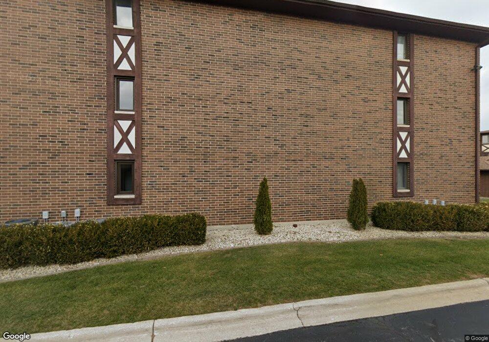
10531 S Roberts Rd Unit 105313 Palos Hills, IL 60465
Estimated Value: $215,000 - $248,000
2
Beds
2
Baths
1,066
Sq Ft
$217/Sq Ft
Est. Value
About This Home
This home is located at 10531 S Roberts Rd Unit 105313, Palos Hills, IL 60465 and is currently estimated at $230,832, approximately $216 per square foot. 10531 S Roberts Rd Unit 105313 is a home located in Cook County with nearby schools including Sorrick Elementary School, Oak Ridge Elementary School, and H H Conrady Jr High School.
Ownership History
Date
Name
Owned For
Owner Type
Purchase Details
Closed on
Oct 26, 2000
Sold by
Link Christine F and Dziennik Christine F
Bought by
Gudinavicius Arunas Mecys and Gudinaviciene Benona
Current Estimated Value
Home Financials for this Owner
Home Financials are based on the most recent Mortgage that was taken out on this home.
Original Mortgage
$88,000
Interest Rate
7.91%
Purchase Details
Closed on
Mar 7, 1995
Sold by
Annolino John S and Gardom Lisa J
Bought by
Link Christine F
Home Financials for this Owner
Home Financials are based on the most recent Mortgage that was taken out on this home.
Original Mortgage
$50,000
Interest Rate
9.13%
Create a Home Valuation Report for This Property
The Home Valuation Report is an in-depth analysis detailing your home's value as well as a comparison with similar homes in the area
Home Values in the Area
Average Home Value in this Area
Purchase History
| Date | Buyer | Sale Price | Title Company |
|---|---|---|---|
| Gudinavicius Arunas Mecys | $110,000 | -- | |
| Link Christine F | $109,500 | Ticor Title |
Source: Public Records
Mortgage History
| Date | Status | Borrower | Loan Amount |
|---|---|---|---|
| Previous Owner | Gudinavicius Arunas Mecys | $88,000 | |
| Previous Owner | Link Christine F | $50,000 |
Source: Public Records
Tax History Compared to Growth
Tax History
| Year | Tax Paid | Tax Assessment Tax Assessment Total Assessment is a certain percentage of the fair market value that is determined by local assessors to be the total taxable value of land and additions on the property. | Land | Improvement |
|---|---|---|---|---|
| 2024 | $626 | $17,296 | $692 | $16,604 |
| 2023 | $2,334 | $17,296 | $692 | $16,604 |
| 2022 | $2,334 | $12,554 | $1,294 | $11,260 |
| 2021 | $769 | $12,553 | $1,294 | $11,259 |
| 2020 | $701 | $12,553 | $1,294 | $11,259 |
| 2019 | $772 | $10,238 | $1,182 | $9,056 |
| 2018 | $745 | $10,238 | $1,182 | $9,056 |
| 2017 | $706 | $10,238 | $1,182 | $9,056 |
| 2016 | $1,544 | $9,193 | $1,026 | $8,167 |
| 2015 | $1,600 | $9,193 | $1,026 | $8,167 |
| 2014 | $1,602 | $9,193 | $1,026 | $8,167 |
| 2013 | $2,692 | $13,097 | $1,026 | $12,071 |
Source: Public Records
Map
Nearby Homes
- 10531 S Roberts Rd Unit 2D
- 10324 S 81st Ave
- 10820 Kathleen Ct Unit D
- 10300 S Kathy Ct
- 7810 W 102nd St
- 10226 S 81st Ave
- 10441 S 83rd Ave
- 10440 S 75th Ct
- 7849 W 101st St
- 10926 Circle Ct
- 10927 Circle Dr
- 10562 S 84th Ave
- 8057 Valley Dr
- 10221 S Eleanor Ave
- 10427 S Alta Dr
- 11050 S Roberts Rd
- 11001 Stony Creek Dr Unit 2C
- 10230 S 83rd Ct
- 10233 Concord Ln Unit C
- 10408 S Alta Dr
- 10531 S Roberts Rd Unit 2C
- 10531 S Roberts Rd Unit G15
- 10531 S Roberts Rd Unit G20
- 10531 S Roberts Rd Unit 105312
- 10531 S Roberts Rd Unit G12
- 10531 S Roberts Rd Unit G19
- 10531 S Roberts Rd Unit G14
- 10531 S Roberts Rd Unit G13
- 10531 S Roberts Rd Unit 105313
- 10531 S Roberts Rd Unit 105313
- 10531 S Roberts Rd Unit 105311
- 10531 S Roberts Rd Unit 105311
- 10531 S Roberts Rd Unit 105311
- 10531 S Roberts Rd Unit 105312
- 10531 S Roberts Rd Unit 105313
- 10531 S Roberts Rd Unit 105312
- 10531 S Roberts Rd Unit 105311
- 10531 S Roberts Rd Unit 1C
- 10531 S Roberts Rd Unit 1-A
- 10531 S Roberts Rd Unit 3D