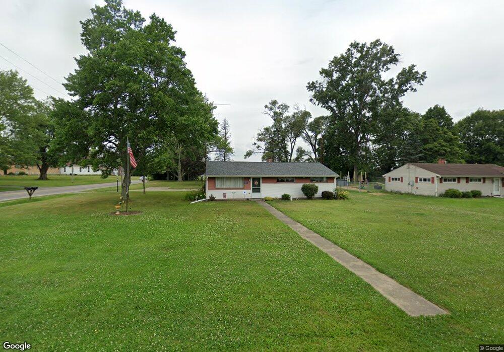
10533 Dot Ave NE Alliance, OH 44601
Estimated Value: $177,761 - $244,000
3
Beds
1
Bath
1,380
Sq Ft
$145/Sq Ft
Est. Value
About This Home
This home is located at 10533 Dot Ave NE, Alliance, OH 44601 and is currently estimated at $199,440, approximately $144 per square foot. 10533 Dot Ave NE is a home located in Stark County with nearby schools including Marlington High School and Regina Coeli/St Joseph School.
Ownership History
Date
Name
Owned For
Owner Type
Purchase Details
Closed on
Jan 24, 2014
Sold by
Truskowski Marsha Kay
Bought by
Gwynne Barbara Marie
Current Estimated Value
Purchase Details
Closed on
Jan 9, 2014
Sold by
Gwynne Eric James and Kunz Janet Carol
Bought by
Gwynne Barbara Marie
Create a Home Valuation Report for This Property
The Home Valuation Report is an in-depth analysis detailing your home's value as well as a comparison with similar homes in the area
Home Values in the Area
Average Home Value in this Area
Purchase History
| Date | Buyer | Sale Price | Title Company |
|---|---|---|---|
| Gwynne Barbara Marie | $12,300 | None Available | |
| Gwynne Barbara Marie | $24,600 | None Available |
Source: Public Records
Tax History Compared to Growth
Tax History
| Year | Tax Paid | Tax Assessment Tax Assessment Total Assessment is a certain percentage of the fair market value that is determined by local assessors to be the total taxable value of land and additions on the property. | Land | Improvement |
|---|---|---|---|---|
| 2025 | -- | $42,880 | $21,880 | $21,000 |
| 2024 | -- | $42,880 | $21,880 | $21,000 |
| 2023 | $1,185 | $33,640 | $11,620 | $22,020 |
| 2022 | $1,189 | $33,640 | $11,620 | $22,020 |
| 2021 | $1,193 | $33,640 | $11,620 | $22,020 |
| 2020 | $1,144 | $28,740 | $10,010 | $18,730 |
| 2019 | $1,136 | $28,740 | $10,010 | $18,730 |
| 2018 | $1,137 | $28,740 | $10,010 | $18,730 |
| 2017 | $1,104 | $26,110 | $9,520 | $16,590 |
| 2016 | $1,276 | $30,170 | $9,520 | $20,650 |
| 2015 | $1,214 | $30,170 | $9,520 | $20,650 |
| 2014 | $1,141 | $25,170 | $7,950 | $17,220 |
| 2013 | $360 | $25,170 | $7,950 | $17,220 |
Source: Public Records
Map
Nearby Homes
- 10666 Wilma Ave NE
- 13334 Cindy St NE
- 0 Meadow St NE
- 12355 Edison St NE
- 11960 Freshley Ave NE
- 0 W Main St Unit 5090123
- 11480 Aebi Ave NE
- 1430 Westwood Ave
- 2081 Marwood Cir
- 13109 Edison St NE
- 2377 Ansley St Unit 2377
- 0 Reeder Ave NE
- 12252 Snode St NE
- 000 Klinger Ave
- 12415 Snode St NE
- 0 Klinger Ave NE
- 432 Johnson Ave
- 2851 Patriots Path Unit 3D
- 2435 Queensbury Rd
- 1201 Overlook Dr
- 10545 Dot Ave NE
- 12390 Beeson St NE
- 12366 Beeson St NE
- 10567 Dot Ave NE
- 10530 Dot Ave NE
- 12414 Beeson St NE
- 10544 Dot Ave NE
- 10585 Dot Ave NE
- 10570 Dot Ave NE
- 10588 Dot Ave NE
- 10605 Dot Ave NE
- 10533 Barcus Ave NE
- 10545 Barcus Ave NE
- 10567 Barcus Ave NE
- 10606 Dot Ave NE
- 12464 Beeson St NE
- 10625 Dot Ave NE
- 10585 Barcus Ave NE
- 12280 Beeson St NE
- 10626 Dot Ave NE