10534 Burnside Farm Rd Owings Mills, MD 21117
Estimated Value: $1,221,000 - $1,907,000
4
Beds
5
Baths
4,884
Sq Ft
$329/Sq Ft
Est. Value
About This Home
This home is located at 10534 Burnside Farm Rd, Owings Mills, MD 21117 and is currently estimated at $1,605,287, approximately $328 per square foot. 10534 Burnside Farm Rd is a home located in Baltimore County with nearby schools including Fort Garrison Elementary School, Pikesville Middle School, and Pikesville High School.
Ownership History
Date
Name
Owned For
Owner Type
Purchase Details
Closed on
May 3, 2021
Sold by
Baire Ronald L and Baire Lea E
Bought by
The Jemicy School Inc
Current Estimated Value
Purchase Details
Closed on
Sep 22, 2020
Sold by
Baire Ronald L and Baire Lea E
Bought by
Baire Ronald L and Baire Lea E
Purchase Details
Closed on
Jan 21, 2005
Sold by
Stapf Group Llc
Bought by
Baire Ronald L and Baire Lea E
Purchase Details
Closed on
Dec 15, 2004
Sold by
Stapf Group Llc
Bought by
Baire Ronald L and Baire Lea E
Purchase Details
Closed on
Jun 4, 2003
Sold by
C & S Holding Co Inc
Bought by
Stapf Group Llc
Create a Home Valuation Report for This Property
The Home Valuation Report is an in-depth analysis detailing your home's value as well as a comparison with similar homes in the area
Home Values in the Area
Average Home Value in this Area
Purchase History
| Date | Buyer | Sale Price | Title Company |
|---|---|---|---|
| The Jemicy School Inc | $1,500,000 | Broadview Title | |
| Baire Ronald L | -- | None Available | |
| Baire Ronald L | $1,325,000 | -- | |
| Baire Ronald L | $1,325,000 | -- | |
| Stapf Group Llc | $375,000 | -- |
Source: Public Records
Tax History Compared to Growth
Tax History
| Year | Tax Paid | Tax Assessment Tax Assessment Total Assessment is a certain percentage of the fair market value that is determined by local assessors to be the total taxable value of land and additions on the property. | Land | Improvement |
|---|---|---|---|---|
| 2025 | $13,065 | $1,168,000 | $273,800 | $894,200 |
| 2024 | $13,065 | $1,082,833 | $0 | $0 |
| 2023 | $12,152 | $997,667 | $0 | $0 |
| 2022 | $11,019 | $912,500 | $273,800 | $638,700 |
| 2021 | $12,408 | $912,500 | $273,800 | $638,700 |
| 2020 | $11,120 | $912,500 | $273,800 | $638,700 |
| 2019 | $14,230 | $1,174,100 | $591,400 | $582,700 |
| 2018 | $14,034 | $1,163,500 | $0 | $0 |
| 2017 | $13,796 | $1,152,900 | $0 | $0 |
| 2016 | $15,219 | $1,142,300 | $0 | $0 |
| 2015 | $15,219 | $1,142,300 | $0 | $0 |
| 2014 | $15,219 | $1,142,300 | $0 | $0 |
Source: Public Records
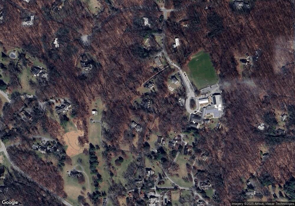
Map
Nearby Homes
- 10603 Park Heights Ave
- 10902 Baronet Rd
- 2418 Velvet Valley Way
- 2628 Greenspring Valley Rd
- 11101 Verdant Rd
- 314 Golf Course Rd
- 4 Bucksway Rd
- 2705 Spring Hill Rd
- 12 Spring Forest Ct
- 2312 Velvet Ridge Dr
- 2304 Velvet Ridge Dr
- 7 Caveswood Ln
- 16 Merry Hill Ct
- 6 Merry Hill Ct
- 10 Merry Hill Ct
- 12 Merry Hill Ct
- 10606 Candlewick Rd
- 14 Merry Hill Ct
- 2307 Shaded Brook Dr
- 10707 Sprinkle Ln
- 8 Celadon Rd
- 12 Celadon Rd
- 6 Celadon Rd
- 10526 Burnside Farm Rd
- 11 Celadon Rd
- 4 Celadon Rd
- 10524 Burnside Farm Rd
- 10530 Burnside Farm Rd
- 19 Velvet Valley Ct
- 5 Celadon Rd
- 10608 Brooklawn Rd
- 2 Celadon Rd
- 3 Velvet Valley Ct
- 10510 Burnside Farm Rd
- 10521 Burnside Farm Rd
- 18 Velvet Valley Ct
- 10605 Brooklawn Rd
- 10724 Park Heights Ave
- 10522 Burnside Farm Rd
- 14 Velvet Valley Ct