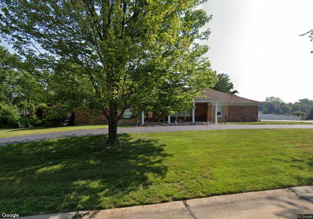
10537 Windswept Dr Saint Louis, MO 63128
Estimated Value: $585,000 - $609,000
4
Beds
3
Baths
2,363
Sq Ft
$252/Sq Ft
Est. Value
About This Home
This home is located at 10537 Windswept Dr, Saint Louis, MO 63128 and is currently estimated at $595,400, approximately $251 per square foot. 10537 Windswept Dr is a home located in St. Louis County with nearby schools including Kennerly Elementary School, Sperreng Middle School, and Lindbergh High School.
Ownership History
Date
Name
Owned For
Owner Type
Purchase Details
Closed on
May 8, 2009
Sold by
Franz Mary Louise
Bought by
Fleisher Cynthia L
Current Estimated Value
Home Financials for this Owner
Home Financials are based on the most recent Mortgage that was taken out on this home.
Original Mortgage
$287,100
Outstanding Balance
$180,418
Interest Rate
4.75%
Mortgage Type
Purchase Money Mortgage
Estimated Equity
$414,982
Create a Home Valuation Report for This Property
The Home Valuation Report is an in-depth analysis detailing your home's value as well as a comparison with similar homes in the area
Home Values in the Area
Average Home Value in this Area
Purchase History
| Date | Buyer | Sale Price | Title Company |
|---|---|---|---|
| Fleisher Cynthia L | $319,000 | None Available |
Source: Public Records
Mortgage History
| Date | Status | Borrower | Loan Amount |
|---|---|---|---|
| Open | Fleisher Cynthia L | $287,100 |
Source: Public Records
Tax History Compared to Growth
Tax History
| Year | Tax Paid | Tax Assessment Tax Assessment Total Assessment is a certain percentage of the fair market value that is determined by local assessors to be the total taxable value of land and additions on the property. | Land | Improvement |
|---|---|---|---|---|
| 2025 | $6,347 | $107,510 | $39,410 | $68,100 |
| 2024 | $6,347 | $97,600 | $30,000 | $67,600 |
| 2023 | $6,331 | $97,600 | $30,000 | $67,600 |
| 2022 | $6,087 | $90,080 | $21,430 | $68,650 |
| 2021 | $5,872 | $90,080 | $21,430 | $68,650 |
| 2020 | $4,947 | $73,230 | $18,150 | $55,080 |
| 2019 | $4,935 | $73,230 | $18,150 | $55,080 |
| 2018 | $5,408 | $73,000 | $11,630 | $61,370 |
| 2017 | $5,348 | $73,000 | $11,630 | $61,370 |
| 2016 | $4,641 | $60,140 | $13,870 | $46,270 |
| 2015 | $4,571 | $60,140 | $13,870 | $46,270 |
| 2014 | $4,976 | $64,840 | $7,540 | $57,300 |
Source: Public Records
Map
Nearby Homes
- 10000 Hilltop Dr
- 9918 Benbury Ct Unit 1D
- 10755 Kennerly Rd
- 10315 Kennerly Rd
- 12224 Bird Haven Ln
- 10652 Roanna Ln
- 10627 Leebur Dr
- 10610 Deerpath Acres Ct
- 20 Oleander Dr
- 10727 Roxanna Dr
- 10508 Stephenson Dr
- 10010 Chardin Way Unit 2
- 10124 Carolynne Dr
- 10016 Schuessler Rd
- 12817 Pointe Dr
- 9448 Parklind Dr
- 9411 Gates Manor Ct
- 9404 Gates Manor Ct
- 5100 Melitta Dr
- 4328 S Lindbergh Blvd
- 76 Windswept Dr
- 10525 Windswept Dr
- 10542 Windswept Dr
- 10559 Windswept Dr
- 10526 Windswept Dr
- 10564 Windswept Dr
- 10511 Windswept Dr
- 10077 Hilltop Dr
- 10531 Kennerly Rd
- 10547 Kennerly Rd
- 10071 Hilltop Dr
- 10081 Hilltop Dr
- 10510 Windswept Dr
- 10596 Windswept Dr
- 10033 Benbury Ln
- 10523 Kennerly Rd
- 10040 Benbury Ln
- 10117 Hilltop Dr
- 10111 Hilltop Dr
- 10038 Benbury Ln