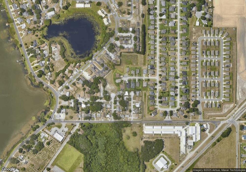
1054 Bentley Oaks Ct Auburndale, FL 33823
Estimated Value: $389,573 - $489,000
3
Beds
2
Baths
2,452
Sq Ft
$178/Sq Ft
Est. Value
About This Home
This home is located at 1054 Bentley Oaks Ct, Auburndale, FL 33823 and is currently estimated at $435,643, approximately $177 per square foot. 1054 Bentley Oaks Ct is a home with nearby schools including Walter Caldwell Elementary School, Auburndale Senior High School, and Jewett School of the Arts.
Ownership History
Date
Name
Owned For
Owner Type
Purchase Details
Closed on
Jun 20, 2014
Sold by
Sadler Danny and Sadler Cara
Bought by
Gold David L and Gold Patti L
Current Estimated Value
Home Financials for this Owner
Home Financials are based on the most recent Mortgage that was taken out on this home.
Original Mortgage
$188,900
Outstanding Balance
$144,113
Interest Rate
4.28%
Mortgage Type
New Conventional
Estimated Equity
$291,530
Purchase Details
Closed on
Aug 22, 2013
Sold by
Danny Sadler Inc
Bought by
Sadler Danny and Sadler Cara
Create a Home Valuation Report for This Property
The Home Valuation Report is an in-depth analysis detailing your home's value as well as a comparison with similar homes in the area
Home Values in the Area
Average Home Value in this Area
Purchase History
| Date | Buyer | Sale Price | Title Company |
|---|---|---|---|
| Gold David L | $239,900 | Insured Real Estate Title Se | |
| Sadler Danny | -- | None Available |
Source: Public Records
Mortgage History
| Date | Status | Borrower | Loan Amount |
|---|---|---|---|
| Open | Gold David L | $188,900 |
Source: Public Records
Tax History Compared to Growth
Tax History
| Year | Tax Paid | Tax Assessment Tax Assessment Total Assessment is a certain percentage of the fair market value that is determined by local assessors to be the total taxable value of land and additions on the property. | Land | Improvement |
|---|---|---|---|---|
| 2025 | $3,019 | $232,868 | -- | -- |
| 2024 | $2,944 | $226,305 | -- | -- |
| 2023 | $2,944 | $219,714 | $0 | $0 |
| 2022 | $2,863 | $213,315 | $0 | $0 |
| 2021 | $2,853 | $207,102 | $0 | $0 |
| 2020 | $2,825 | $204,243 | $0 | $0 |
| 2018 | $2,776 | $195,928 | $0 | $0 |
| 2017 | $2,699 | $191,898 | $0 | $0 |
| 2016 | $2,677 | $187,951 | $0 | $0 |
| 2015 | $2,295 | $164,102 | $0 | $0 |
| 2014 | $300 | $16,500 | $0 | $0 |
Source: Public Records
Map
Nearby Homes
- 1014 Caroline Ave
- 440 Burnham Cir
- 452 Burnham Cir
- 2104 Babbling Brook Blvd
- 2108 Babbling Brook Blvd
- 2099 Babbling Brook Blvd
- 2116 Babbling Brook Blvd
- 1225 Keystone Ct
- 2091 Babbling Brook Blvd
- 1212 Blake Ave
- 2079 Babbling Brook Blvd
- 1210 Lynn Ave
- 2128 Babbling Brook Blvd
- Ambrosia Plan at Brookland Park
- Hickory Plan at Brookland Park
- Bahama Plan at Brookland Park
- Bermuda Plan at Brookland Park
- Grenada Plan at Brookland Park
- Palm Plan at Brookland Park
- Amelia Plan at Brookland Park
- 1050 Bentley Oaks Ct
- 1058 Bentley Oaks Ct
- 109 Margaret St
- 110 Martha St
- 1062 Bentley Oaks Ct
- 1051 Bentley Oaks Ct
- 107 Margaret St
- 108 Martha St
- 1066 Bentley Oaks Ct
- 110 Margaret St
- 1059 Bentley Oaks Ct
- 109 Martha St
- 105 Margaret St
- 106 Martha St
- 1063 Bentley Oaks Ct
- 108 Margaret St
- 1067 Bentley Oaks Ct
- 1017 Caroline Ave Unit B
- 1017 Caroline Ave Unit C
- 1017 Caroline Ave
