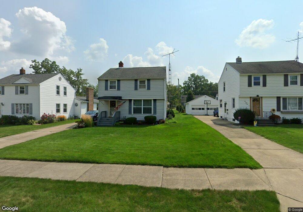
1054 Lilly Rd Alliance, OH 44601
Estimated Value: $94,440 - $175,000
3
Beds
1
Bath
1,150
Sq Ft
$111/Sq Ft
Est. Value
About This Home
This home is located at 1054 Lilly Rd, Alliance, OH 44601 and is currently estimated at $128,110, approximately $111 per square foot. 1054 Lilly Rd is a home located in Stark County with nearby schools including Alliance Early Learning School, Alliance Intermediate School at Northside, and Alliance Middle School.
Ownership History
Date
Name
Owned For
Owner Type
Purchase Details
Closed on
Jun 19, 2003
Sold by
Preece Cynthia L and Knight Cynthia L
Bought by
Knight Cynthia L
Current Estimated Value
Home Financials for this Owner
Home Financials are based on the most recent Mortgage that was taken out on this home.
Original Mortgage
$74,000
Interest Rate
5.71%
Mortgage Type
Purchase Money Mortgage
Purchase Details
Closed on
May 23, 1997
Sold by
Boyce Craig A
Bought by
Knight Byron E and Preece Cynthia
Home Financials for this Owner
Home Financials are based on the most recent Mortgage that was taken out on this home.
Original Mortgage
$53,900
Interest Rate
8.24%
Mortgage Type
New Conventional
Create a Home Valuation Report for This Property
The Home Valuation Report is an in-depth analysis detailing your home's value as well as a comparison with similar homes in the area
Home Values in the Area
Average Home Value in this Area
Purchase History
| Date | Buyer | Sale Price | Title Company |
|---|---|---|---|
| Knight Cynthia L | -- | Americas Choice Title Agency | |
| Knight Byron E | $68,900 | -- |
Source: Public Records
Mortgage History
| Date | Status | Borrower | Loan Amount |
|---|---|---|---|
| Closed | Knight Cynthia L | $74,000 | |
| Closed | Knight Byron E | $53,900 |
Source: Public Records
Tax History
| Year | Tax Paid | Tax Assessment Tax Assessment Total Assessment is a certain percentage of the fair market value that is determined by local assessors to be the total taxable value of land and additions on the property. | Land | Improvement |
|---|---|---|---|---|
| 2025 | -- | $23,660 | $6,860 | $16,800 |
| 2024 | -- | $23,660 | $6,860 | $16,800 |
| 2023 | $466 | $20,760 | $5,460 | $15,300 |
| 2022 | $486 | $20,760 | $5,460 | $15,300 |
| 2021 | $486 | $20,760 | $5,460 | $15,300 |
| 2020 | $378 | $17,470 | $4,760 | $12,710 |
| 2019 | $373 | $17,470 | $4,760 | $12,710 |
Source: Public Records
Map
Nearby Homes
- 1016 Roseland Rd
- 1539 Parkway Blvd
- 1718 Fernwood Blvd
- 1534 Fernwood Blvd
- 864 W College Rd
- 720 Vincent Blvd
- 1156 Parkside Dr
- 1310 Overlook Dr
- 0 Federal Ave
- 2120 Blenheim Ave
- 1114 Briarcliff Ave
- 1044 Glamorgan St
- 1601 Raywood Rd
- 2580 Edgewood Ave
- 1235 Spring Ridge Cir Unit 17A
- 2630 Blenheim Ave
- 664 Fairview Place
- 2625 Belleflower Dr
- 2635 Blenheim Ave
- 203 Glamorgan St
- 1048 Lilly Rd
- 1062 Lilly Rd
- 1070 Lilly Rd
- 1038 Lilly Rd
- 1053 W College Rd
- 1061 W College Rd
- 1078 Lilly Rd
- 1047 W College Rd
- 1069 W College Rd
- 1037 W College Rd
- 1061 Lilly Rd
- 1061 Lilly Rd
- 1045 Lilly Rd
- 1077 W College Rd
- 1086 Lilly Rd
- 1022 Lilly Rd
- 1069 Lilly Rd
- 1077 Lilly Rd
- 1029 Lilly Rd
- 1085 W College Rd
Your Personal Tour Guide
Ask me questions while you tour the home.