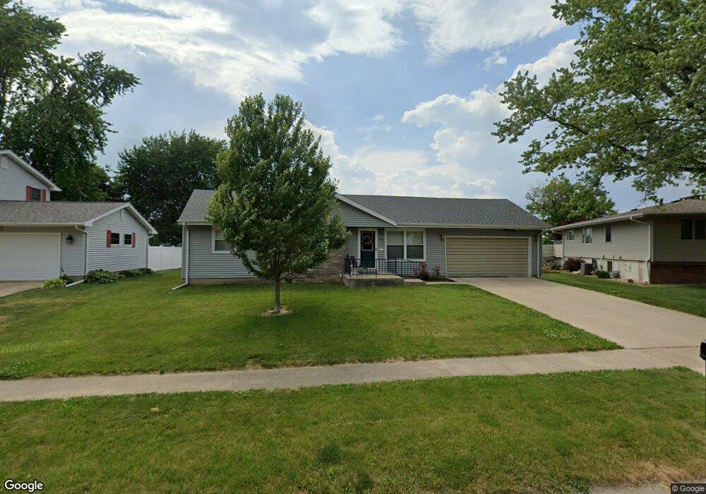
1054 Lora Ave Princeton, IL 61356
Estimated Value: $142,913 - $180,000
--
Bed
--
Bath
--
Sq Ft
10,280
Sq Ft Lot
About This Home
This home is located at 1054 Lora Ave, Princeton, IL 61356 and is currently estimated at $165,478. 1054 Lora Ave is a home located in Bureau County with nearby schools including Jefferson Elementary School, Lincoln Elementary School, and Logan Junior High School.
Ownership History
Date
Name
Owned For
Owner Type
Purchase Details
Closed on
Dec 1, 2023
Sold by
Kokas 38 Llc
Bought by
Paxton Shane Richard and Paxton Caryn Ann
Current Estimated Value
Purchase Details
Closed on
Jun 1, 2022
Sold by
Ackerman Brandon P and Ackerman Melissa E
Bought by
Kokas 38 Llc
Purchase Details
Closed on
Dec 4, 2014
Sold by
Lafferty Kevin
Bought by
Ackerman Brandon P and Ackerman Melissa E
Home Financials for this Owner
Home Financials are based on the most recent Mortgage that was taken out on this home.
Original Mortgage
$102,040
Interest Rate
4.25%
Mortgage Type
New Conventional
Create a Home Valuation Report for This Property
The Home Valuation Report is an in-depth analysis detailing your home's value as well as a comparison with similar homes in the area
Home Values in the Area
Average Home Value in this Area
Purchase History
| Date | Buyer | Sale Price | Title Company |
|---|---|---|---|
| Paxton Shane Richard | -- | None Listed On Document | |
| Kokas 38 Llc | -- | None Listed On Document | |
| Ackerman Brandon P | $100,000 | None Available |
Source: Public Records
Mortgage History
| Date | Status | Borrower | Loan Amount |
|---|---|---|---|
| Previous Owner | Ackerman Brandon P | $102,040 |
Source: Public Records
Tax History Compared to Growth
Tax History
| Year | Tax Paid | Tax Assessment Tax Assessment Total Assessment is a certain percentage of the fair market value that is determined by local assessors to be the total taxable value of land and additions on the property. | Land | Improvement |
|---|---|---|---|---|
| 2024 | $3,573 | $45,382 | $8,179 | $37,203 |
| 2023 | $3,573 | $41,796 | $7,533 | $34,263 |
| 2022 | $2,859 | $39,187 | $7,063 | $32,124 |
| 2021 | $2,768 | $37,095 | $6,686 | $30,409 |
| 2020 | $2,665 | $35,737 | $6,441 | $29,296 |
| 2019 | $2,665 | $35,310 | $6,364 | $28,946 |
| 2018 | $2,607 | $34,706 | $6,255 | $28,451 |
| 2017 | $2,654 | $34,832 | $6,278 | $28,554 |
| 2016 | $2,575 | $33,923 | $6,114 | $27,809 |
| 2015 | -- | $33,330 | $6,007 | $27,323 |
| 2014 | -- | $35,549 | $6,007 | $29,542 |
| 2013 | -- | $35,742 | $6,040 | $29,702 |
Source: Public Records
Map
Nearby Homes
- 1203 W Clark St
- 810 W Railroad Ave
- 702 W Hudson St
- 1007 W Farnham St
- 127 N Beech St
- 0 W Longhaven St Unit MRD12383107
- 523 N Knox St
- 311 W Franklin St
- 2003 Maple Acres Dr
- 103 S Plum St
- 8&9 W Century Dr
- 8 & 9 Century Dr
- 2211 Crestview Dr
- 1322 W Peru St
- 236 Brandy Ave
- 9 S Randolph St
- 411 W Peru St
- 405 N Church St
- 00 N Main St
- 210 N Church St