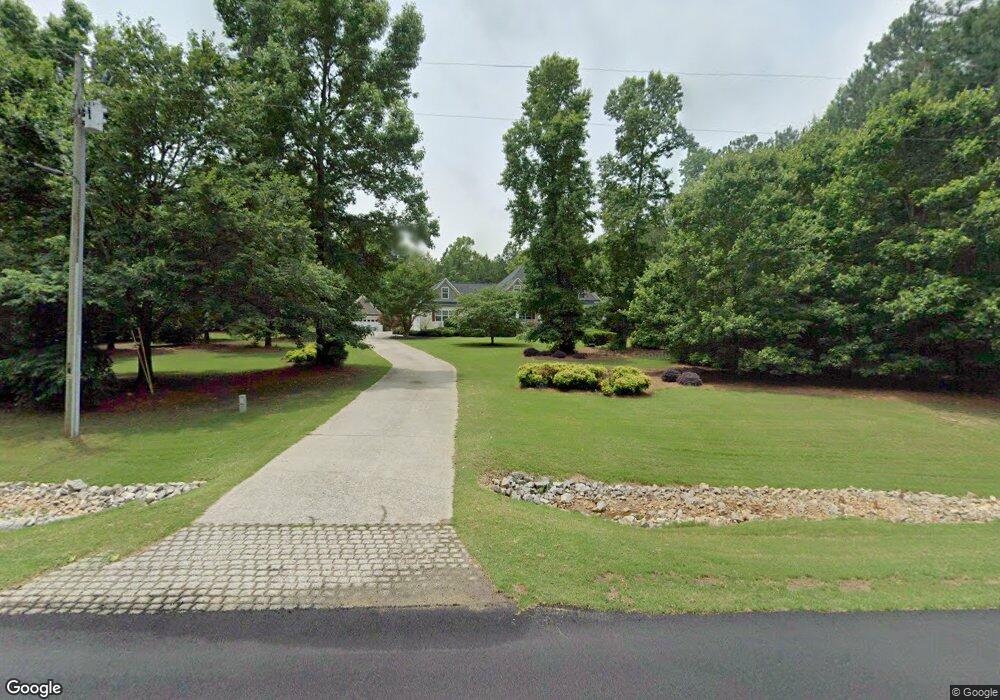
1054 Michael Rd NW Unit 11 Monroe, GA 30656
Estimated Value: $602,309 - $866,000
4
Beds
4
Baths
3,661
Sq Ft
$203/Sq Ft
Est. Value
About This Home
This home is located at 1054 Michael Rd NW Unit 11, Monroe, GA 30656 and is currently estimated at $742,827, approximately $202 per square foot. 1054 Michael Rd NW Unit 11 is a home located in Walton County with nearby schools including Monroe Elementary School, Carver Middle School, and Monroe Area High School.
Ownership History
Date
Name
Owned For
Owner Type
Purchase Details
Closed on
Feb 16, 2005
Sold by
Bobbitt Jason P
Bought by
Houseproud Builders Llc
Current Estimated Value
Home Financials for this Owner
Home Financials are based on the most recent Mortgage that was taken out on this home.
Original Mortgage
$187,500
Interest Rate
5.68%
Mortgage Type
Purchase Money Mortgage
Purchase Details
Closed on
Feb 19, 2004
Sold by
Mitchell-Jackson Llc
Bought by
Bobbitt Jason P
Home Financials for this Owner
Home Financials are based on the most recent Mortgage that was taken out on this home.
Original Mortgage
$41,300
Interest Rate
5.63%
Mortgage Type
Purchase Money Mortgage
Create a Home Valuation Report for This Property
The Home Valuation Report is an in-depth analysis detailing your home's value as well as a comparison with similar homes in the area
Home Values in the Area
Average Home Value in this Area
Purchase History
| Date | Buyer | Sale Price | Title Company |
|---|---|---|---|
| Houseproud Builders Llc | $45,500 | -- | |
| Bobbitt Jason P | $45,300 | -- |
Source: Public Records
Mortgage History
| Date | Status | Borrower | Loan Amount |
|---|---|---|---|
| Closed | Houseproud Builders Llc | $187,500 | |
| Previous Owner | Bobbitt Jason P | $41,300 |
Source: Public Records
Tax History Compared to Growth
Tax History
| Year | Tax Paid | Tax Assessment Tax Assessment Total Assessment is a certain percentage of the fair market value that is determined by local assessors to be the total taxable value of land and additions on the property. | Land | Improvement |
|---|---|---|---|---|
| 2024 | $1,853 | $214,600 | $12,936 | $201,664 |
| 2023 | $1,454 | $214,600 | $24,400 | $190,200 |
| 2022 | $1,886 | $198,360 | $21,440 | $176,920 |
| 2021 | $1,853 | $170,440 | $17,080 | $153,360 |
| 2020 | $4,540 | $144,040 | $12,200 | $131,840 |
| 2019 | $4,497 | $144,040 | $12,200 | $131,840 |
| 2018 | $4,541 | $144,040 | $12,200 | $131,840 |
| 2017 | $4,228 | $122,720 | $12,200 | $110,520 |
| 2016 | $3,760 | $113,240 | $12,200 | $101,040 |
| 2015 | $3,658 | $108,520 | $12,200 | $96,320 |
| 2014 | -- | $103,320 | $0 | $0 |
Source: Public Records
Map
Nearby Homes
- 1412 Palmer Dr
- 782 Michael Rd
- 3279 Tommy Dillard Rd
- 2033 Seclusion Trail
- 885 Cattle Barn Rd
- 1370 Michael Rd
- 2032 Seclusion Trail
- 1580 Lakeland Dr
- 1537 Lakeland Dr
- 1186 Emmas Path
- 2955 Hearn Rd NW
- 2500 Old Athens Hwy
- 440 Mount Vernon Rd NW
- 1811 Michael Rd
- 1849 Bradley Gin Rd
- 0 Hearn Rd NW Unit 10647785
- 430 Laura Dr
- 1299 McLeod Estates Dr
- 1054 Michael Rd NW
- 1072 Michael Rd
- 1036 Michael Rd NW
- 1090 Michael Rd
- 1018 Michael Rd NW
- 1108 Michael Rd
- 1000 Michael Rd NW
- 1065 Michael Rd
- 845 Michael Rd NW
- 3200 Bunk Tillman Rd
- 1142 Michael Rd
- 982 Michael Rd NW
- 0000 Michael Rd NW Unit 1
- 000 Michael Rd NW Unit 3
- 000 Michael Rd NW Unit 2
- 000 Michael Rd NW
- 0000 Michael Rd NW
- 00 Michael Rd NW
- 000 Michael Rd NW Unit 3.3 ac
- 1180 Michael Rd