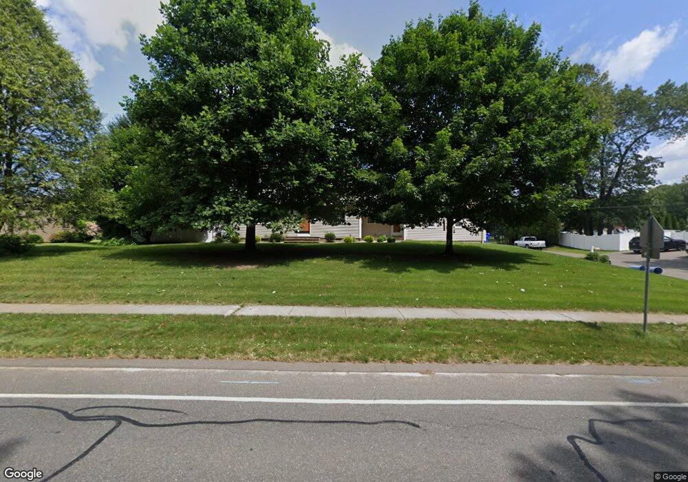
1054 Plumtree Rd Springfield, MA 01119
Sixteen Acres NeighborhoodEstimated Value: $399,488 - $429,000
4
Beds
2
Baths
1,809
Sq Ft
$232/Sq Ft
Est. Value
About This Home
This home is located at 1054 Plumtree Rd, Springfield, MA 01119 and is currently estimated at $419,872, approximately $232 per square foot. 1054 Plumtree Rd is a home located in Hampden County with nearby schools including Frank H. Freedman School, M Marcus Kiley Middle, and Springfield High School of Science and Technology.
Ownership History
Date
Name
Owned For
Owner Type
Purchase Details
Closed on
Jul 9, 2012
Sold by
Laselle Tammy M
Bought by
Laselle Tammy M
Current Estimated Value
Home Financials for this Owner
Home Financials are based on the most recent Mortgage that was taken out on this home.
Original Mortgage
$107,500
Outstanding Balance
$16,625
Interest Rate
3.78%
Mortgage Type
New Conventional
Estimated Equity
$403,247
Purchase Details
Closed on
Jan 24, 1992
Sold by
Cusson William R and Cusson Laura Q
Bought by
Brodecki Tammy M
Home Financials for this Owner
Home Financials are based on the most recent Mortgage that was taken out on this home.
Original Mortgage
$110,000
Interest Rate
8.45%
Mortgage Type
Purchase Money Mortgage
Create a Home Valuation Report for This Property
The Home Valuation Report is an in-depth analysis detailing your home's value as well as a comparison with similar homes in the area
Home Values in the Area
Average Home Value in this Area
Purchase History
| Date | Buyer | Sale Price | Title Company |
|---|---|---|---|
| Laselle Tammy M | -- | -- | |
| Brodecki Tammy M | $110,000 | -- |
Source: Public Records
Mortgage History
| Date | Status | Borrower | Loan Amount |
|---|---|---|---|
| Open | Laselle Tammy M | $107,500 | |
| Previous Owner | Brodecki Tammy M | $50,000 | |
| Previous Owner | Brodecki Tammy M | $94,000 | |
| Previous Owner | Brodecki Tammy M | $110,000 | |
| Previous Owner | Brodecki Tammy M | $11,000 |
Source: Public Records
Tax History
| Year | Tax Paid | Tax Assessment Tax Assessment Total Assessment is a certain percentage of the fair market value that is determined by local assessors to be the total taxable value of land and additions on the property. | Land | Improvement |
|---|---|---|---|---|
| 2025 | $5,163 | $329,300 | $56,200 | $273,100 |
| 2024 | $5,264 | $327,800 | $56,200 | $271,600 |
| 2023 | $5,236 | $307,100 | $53,500 | $253,600 |
| 2022 | $4,758 | $252,800 | $53,500 | $199,300 |
| 2021 | $4,882 | $258,300 | $48,600 | $209,700 |
| 2020 | $4,582 | $234,600 | $48,600 | $186,000 |
| 2019 | $4,174 | $212,100 | $48,600 | $163,500 |
| 2018 | $4,117 | $209,200 | $48,600 | $160,600 |
| 2017 | $3,930 | $199,900 | $44,900 | $155,000 |
| 2016 | $3,910 | $198,900 | $44,900 | $154,000 |
| 2015 | $3,635 | $184,800 | $44,900 | $139,900 |
Source: Public Records
Map
Nearby Homes
- 86 Wildwood Ave
- 81 W Crystal Brook Dr
- 73 Timber Ln
- 120 Bridle Path Rd
- 74 Valley Rd
- 108 Birchland Ave
- 101 Regal St
- 24 Wands St
- 46 Puritan Cir
- 85 Talmadge Dr
- 86 Talmadge Dr
- 30 W Hill Rd
- 37 Chesterfield Ave
- 231 Dayton St
- 55 Allen St
- 82 Louis Rd
- 41 Hillside Dr
- 17 Pebble Mill Rd
- 384 Abbott St
- Lot 37 Kane St
- 1042 Plumtree Rd
- 1070 Plumtree Rd
- 361 Evergreen Rd
- 21 Greenlawn St
- 30 Greenlawn St
- 353 Evergreen Rd
- 29 Greenlawn St
- 1082 Plumtree Rd
- 40 Greenlawn St
- 20 Glenvale St
- 343 Evergreen Rd
- 39 Greenlawn St
- 30 Glenvale St
- 48 Greenlawn St
- 38 Glenvale St
- 335 Evergreen Rd
- 47 Greenlawn St
- 1098 Plumtree Rd
- 21 Glenvale St
- 48 Glenvale St
Your Personal Tour Guide
Ask me questions while you tour the home.