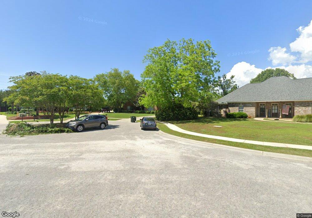
10541 Bridges Dr N Unit 1 Daphne, AL 36526
Estimated Value: $484,185 - $591,000
4
Beds
4
Baths
2,961
Sq Ft
$181/Sq Ft
Est. Value
About This Home
This home is located at 10541 Bridges Dr N Unit 1, Daphne, AL 36526 and is currently estimated at $535,296, approximately $180 per square foot. 10541 Bridges Dr N Unit 1 is a home located in Baldwin County with nearby schools including Belforest Elementary School, Daphne Middle School, and Daphne High School.
Ownership History
Date
Name
Owned For
Owner Type
Purchase Details
Closed on
Aug 31, 2011
Sold by
Mason Verrdon H and Mason Marian H
Bought by
Barnes Michael Lewis and Barnes Heather Owen
Current Estimated Value
Home Financials for this Owner
Home Financials are based on the most recent Mortgage that was taken out on this home.
Original Mortgage
$251,750
Outstanding Balance
$174,604
Interest Rate
4.53%
Mortgage Type
New Conventional
Estimated Equity
$360,692
Create a Home Valuation Report for This Property
The Home Valuation Report is an in-depth analysis detailing your home's value as well as a comparison with similar homes in the area
Home Values in the Area
Average Home Value in this Area
Purchase History
| Date | Buyer | Sale Price | Title Company |
|---|---|---|---|
| Barnes Michael Lewis | $265,250 | Gtc |
Source: Public Records
Mortgage History
| Date | Status | Borrower | Loan Amount |
|---|---|---|---|
| Open | Barnes Michael Lewis | $251,750 |
Source: Public Records
Tax History Compared to Growth
Tax History
| Year | Tax Paid | Tax Assessment Tax Assessment Total Assessment is a certain percentage of the fair market value that is determined by local assessors to be the total taxable value of land and additions on the property. | Land | Improvement |
|---|---|---|---|---|
| 2024 | $1,261 | $42,140 | $5,980 | $36,160 |
| 2023 | $1,255 | $41,920 | $5,580 | $36,340 |
| 2022 | $973 | $36,360 | $0 | $0 |
| 2021 | $868 | $32,260 | $0 | $0 |
| 2020 | $849 | $31,920 | $0 | $0 |
| 2019 | $857 | $32,220 | $0 | $0 |
| 2018 | $822 | $30,960 | $0 | $0 |
| 2017 | $775 | $29,300 | $0 | $0 |
| 2016 | $783 | $29,580 | $0 | $0 |
| 2015 | $775 | $29,300 | $0 | $0 |
| 2014 | $750 | $28,380 | $0 | $0 |
| 2013 | -- | $27,080 | $0 | $0 |
Source: Public Records
Map
Nearby Homes
- 10531 Bridges Dr N
- 10585 Bridges Dr N
- 24821 Austin Rd
- 24795 Austin Rd
- 24936 Bosbyshell Ave
- 25212 Austin Rd
- 24903 Spectacular Bid Loop
- 295576 Fairfax Rd
- 24588 Thunder Gulch Ln
- 24597 Smarty Jones Cir
- 24574 Thunder Gulch Ln
- 24979 Spectacular Bid Loop
- 10515 Secretariat Blvd
- VICTORIA Plan at Jubilee Farms
- BIRCH Plan at Jubilee Farms
- The Camden Plan at Jubilee Farms
- The Hawthorne Plan at Jubilee Farms
- TAYLOR Plan at Jubilee Farms
- AVERY Plan at Jubilee Farms
- Jasmine Plan at Jubilee Farms
- 0 Belforest Cemetery Rd
- 10563 Bridges Dr N
- 10525 Bridges Dr N
- 10527 Belforest Cemetery Rd
- 24917 Bridges Dr W
- 10580 Bridges Dr N
- 10569 Belforest Cemetery Rd
- 24906 Bridges Dr W
- 10605 Bridges Dr N
- 24899 Bridges Dr W
- 24909 Austin Rd
- 25055 Austin Rd
- 24907 Austin Rd
- 24890 Bridges Dr W
- 10604 Bridges Dr N Unit 2
- 10441 Goodrich Way
- 10637 Bridges Dr N
- 25092 Austin Rd
- 24873 Austin Rd
- 24870 Bridges Dr W