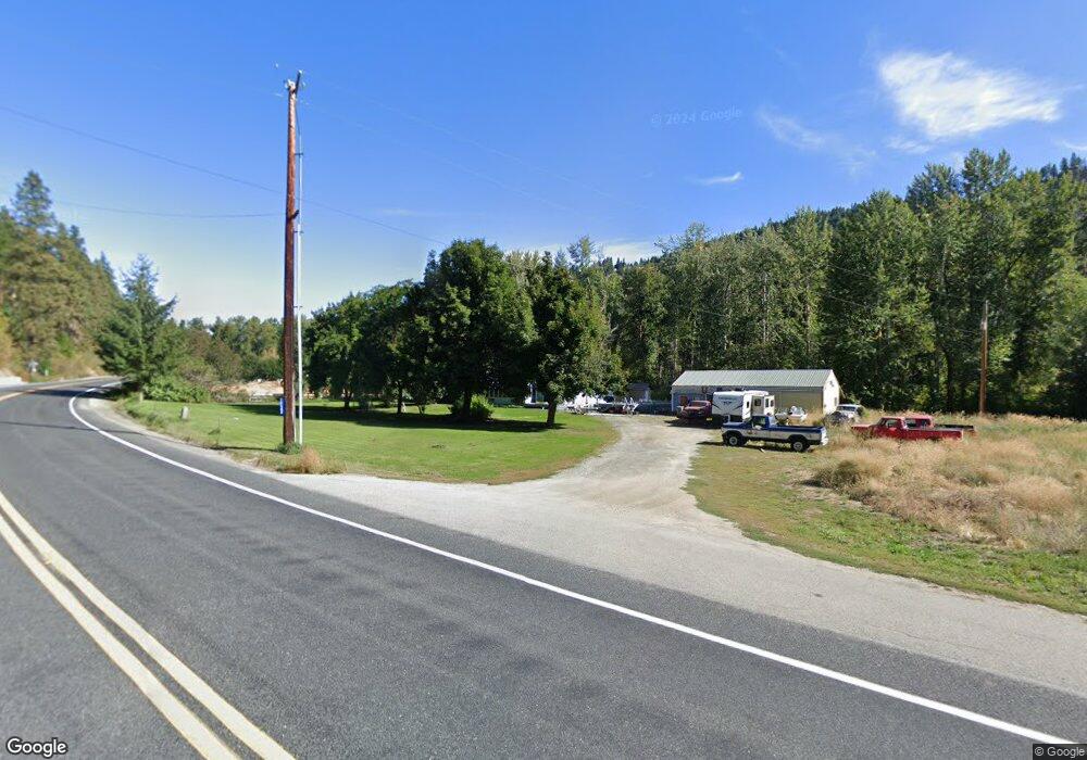
10543 Chumstick Hwy Leavenworth, WA 98826
Estimated Value: $646,000 - $964,000
4
Beds
1
Bath
1,388
Sq Ft
$543/Sq Ft
Est. Value
About This Home
This home is located at 10543 Chumstick Hwy, Leavenworth, WA 98826 and is currently estimated at $753,812, approximately $543 per square foot. 10543 Chumstick Hwy is a home located in Chelan County with nearby schools including Cascade High School and Upper Valley Christian School.
Ownership History
Date
Name
Owned For
Owner Type
Purchase Details
Closed on
Dec 3, 2020
Sold by
West Scott C
Bought by
West Nadine R
Current Estimated Value
Purchase Details
Closed on
Aug 15, 2008
Sold by
Trouville Donna Kay and Fromel Shirlee Jo
Bought by
West Scott C and West Nadine R
Home Financials for this Owner
Home Financials are based on the most recent Mortgage that was taken out on this home.
Original Mortgage
$204,000
Outstanding Balance
$134,153
Interest Rate
6.37%
Mortgage Type
New Conventional
Estimated Equity
$619,659
Purchase Details
Closed on
Mar 11, 2005
Sold by
Morgan William E
Bought by
Morgan Shirlee M
Create a Home Valuation Report for This Property
The Home Valuation Report is an in-depth analysis detailing your home's value as well as a comparison with similar homes in the area
Home Values in the Area
Average Home Value in this Area
Purchase History
| Date | Buyer | Sale Price | Title Company |
|---|---|---|---|
| West Nadine R | -- | None Available | |
| West Scott C | $255,000 | Landamerica Transnation Titl | |
| Morgan Shirlee M | -- | First American Title |
Source: Public Records
Mortgage History
| Date | Status | Borrower | Loan Amount |
|---|---|---|---|
| Open | West Scott C | $204,000 |
Source: Public Records
Tax History Compared to Growth
Tax History
| Year | Tax Paid | Tax Assessment Tax Assessment Total Assessment is a certain percentage of the fair market value that is determined by local assessors to be the total taxable value of land and additions on the property. | Land | Improvement |
|---|---|---|---|---|
| 2021 | $2,873 | $305,785 | $143,480 | $162,305 |
| 2020 | $3,207 | $311,655 | $97,060 | $214,595 |
| 2019 | $2,783 | $308,611 | $88,620 | $219,991 |
| 2018 | $2,907 | $260,741 | $81,024 | $179,717 |
| 2017 | $2,429 | $250,456 | $76,804 | $173,652 |
| 2016 | $1,556 | $233,952 | $91,996 | $141,956 |
| 2015 | $1,556 | $247,190 | $79,336 | $167,854 |
| 2013 | $1,556 | $223,373 | $80,180 | $143,193 |
Source: Public Records
Map
Nearby Homes
- 12250 Ski View Ln
- 10660 Fox Rd
- 10690 Fox Rd
- 1111 Chumstick Hwy
- 331 Alpenglow Dr
- 239 Foxridge Ln
- 10665 North Rd
- 10552 Ski Hill Dr
- 124 Cross Creek Ln
- 648 Central Ave
- 824 Cedar St
- 2 Cedar St
- 1313 Front St
- 139 Alpenglow Dr
- 102 Alpenglow Dr
- 115 Alpenglow Dr
- 109 Alpenglow Dr
- 130 Birch St
- 9864 E Leavenworth Rd
- 1 Ski Hill Dr
- 10543 Chumstick Hwy
- 10691 Chumstick Hwy
- 10751 Chumstick Hwy
- 10512 Chumstick Hwy
- 75 Rosie Ridge Ln
- 34 Sylvester Meadows Ln
- 10747 Chumstick Hwy
- 155 Rosie Ridge Ln
- 111 Rosie Ridge Ln
- 10645 Chumstick Hwy
- 11950 Titus Rd
- 10605 Chumstick Hwy
- 10843 Chumstick Hwy
- 10851 Chumstick Hwy
- 10690 Titus Rd
- 10643 Titus Rd
- 11640 Alpen View Dr
- 12002 Burnett Rd
- 11650 Alpen View Dr