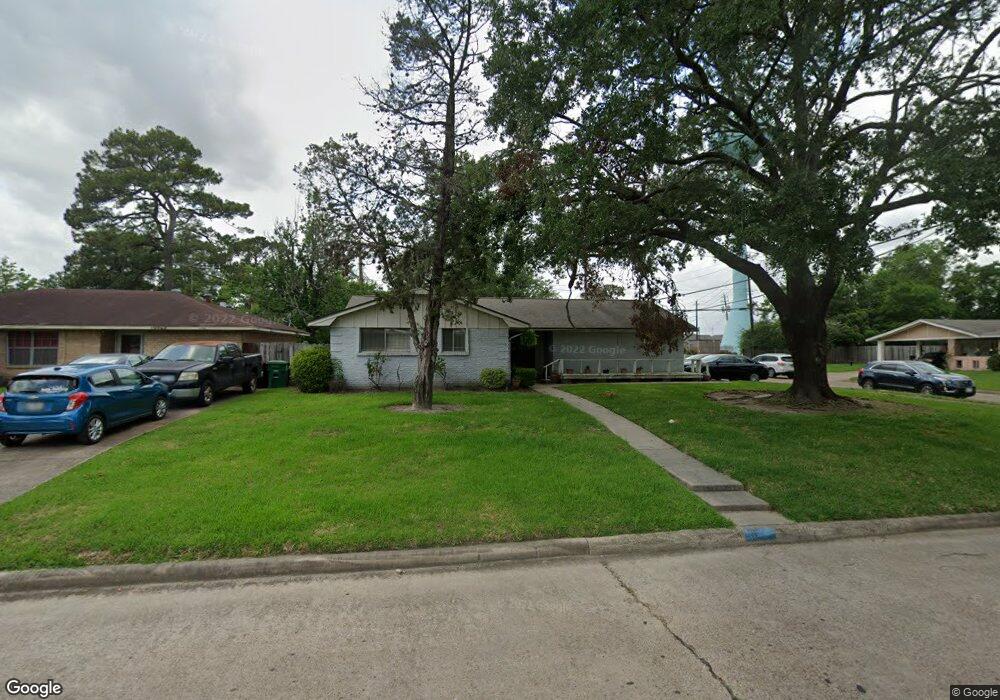
10547 Rebel Rd Houston, TX 77016
East Little York NeighborhoodEstimated Value: $181,000 - $196,000
3
Beds
2
Baths
1,831
Sq Ft
$101/Sq Ft
Est. Value
About This Home
This home is located at 10547 Rebel Rd, Houston, TX 77016 and is currently estimated at $185,468, approximately $101 per square foot. 10547 Rebel Rd is a home located in Harris County with nearby schools including Shadydale Elementary School, Forest Brook Middle, and North Forest High School.
Ownership History
Date
Name
Owned For
Owner Type
Purchase Details
Closed on
Jun 23, 1997
Sold by
Washington Dwane and Washington Brenda
Bought by
Antoine Dorothy J
Current Estimated Value
Home Financials for this Owner
Home Financials are based on the most recent Mortgage that was taken out on this home.
Original Mortgage
$46,323
Interest Rate
7.93%
Create a Home Valuation Report for This Property
The Home Valuation Report is an in-depth analysis detailing your home's value as well as a comparison with similar homes in the area
Home Values in the Area
Average Home Value in this Area
Purchase History
| Date | Buyer | Sale Price | Title Company |
|---|---|---|---|
| Antoine Dorothy J | -- | Texas American Title Company |
Source: Public Records
Mortgage History
| Date | Status | Borrower | Loan Amount |
|---|---|---|---|
| Closed | Antoine Dorothy J | $46,323 | |
| Closed | Antoine Dorothy J | $5,350 |
Source: Public Records
Tax History Compared to Growth
Tax History
| Year | Tax Paid | Tax Assessment Tax Assessment Total Assessment is a certain percentage of the fair market value that is determined by local assessors to be the total taxable value of land and additions on the property. | Land | Improvement |
|---|---|---|---|---|
| 2025 | $1,842 | $166,114 | $45,799 | $120,315 |
| 2024 | $1,842 | $166,114 | $45,799 | $120,315 |
| 2023 | $1,842 | $203,612 | $45,799 | $157,813 |
| 2022 | $1,830 | $176,774 | $38,471 | $138,303 |
| 2021 | $1,761 | $142,606 | $25,648 | $116,958 |
| 2020 | $1,663 | $127,804 | $19,053 | $108,751 |
| 2019 | $1,580 | $119,575 | $13,923 | $105,652 |
| 2018 | $65 | $78,498 | $12,531 | $65,967 |
| 2017 | $1,305 | $78,498 | $12,531 | $65,967 |
| 2016 | $1,186 | $75,929 | $12,531 | $63,398 |
| 2015 | $12 | $67,422 | $12,531 | $54,891 |
| 2014 | $12 | $56,495 | $12,531 | $43,964 |
Source: Public Records
Map
Nearby Homes
- 7451 Langley Rd
- 000 Rebel Rd
- 7615 Nevaeh Crest Path
- 7449 Gleason Rd
- 7726 Melanie St
- 7735 Nevaeh Crest Path
- 7818 Laurel Gem Dr
- 7827 Laurel Gem Dr
- 7823 Laurel Gem Dr
- 7821 Laurel Gem Dr
- 7812 Laurel Gem Dr
- 7830 Laurel Gem Dr
- 7824 Laurel Gem Dr
- 7819 Laurel Gem Dr
- 7815 Laurel Gem Dr
- 10313 Blades St
- 7618 Boggess Rd
- 10206 Cheeves Dr
- 7807 Lavender Lantana Ln
- Kitson Plan at Wayside Village
- 10543 Rebel Rd
- 10539 Rebel Rd
- 10603 Rebel Rd
- 10546 Rebel Rd
- 10535 Rebel Rd
- 10542 Rebel Rd
- 10607 Rebel Rd
- 10602 Rebel Rd
- 10546 Cheeves Dr
- 10538 Rebel Rd
- 10542 Cheeves Dr
- 10531 Rebel Rd
- 10538 Cheeves Dr
- 10611 Rebel Rd
- 10606 Rebel Rd
- 7613 Tully St
- 7613 Tully St
- 7610 Langley Rd
- 10534 Cheeves Dr
- 10527 Rebel Rd