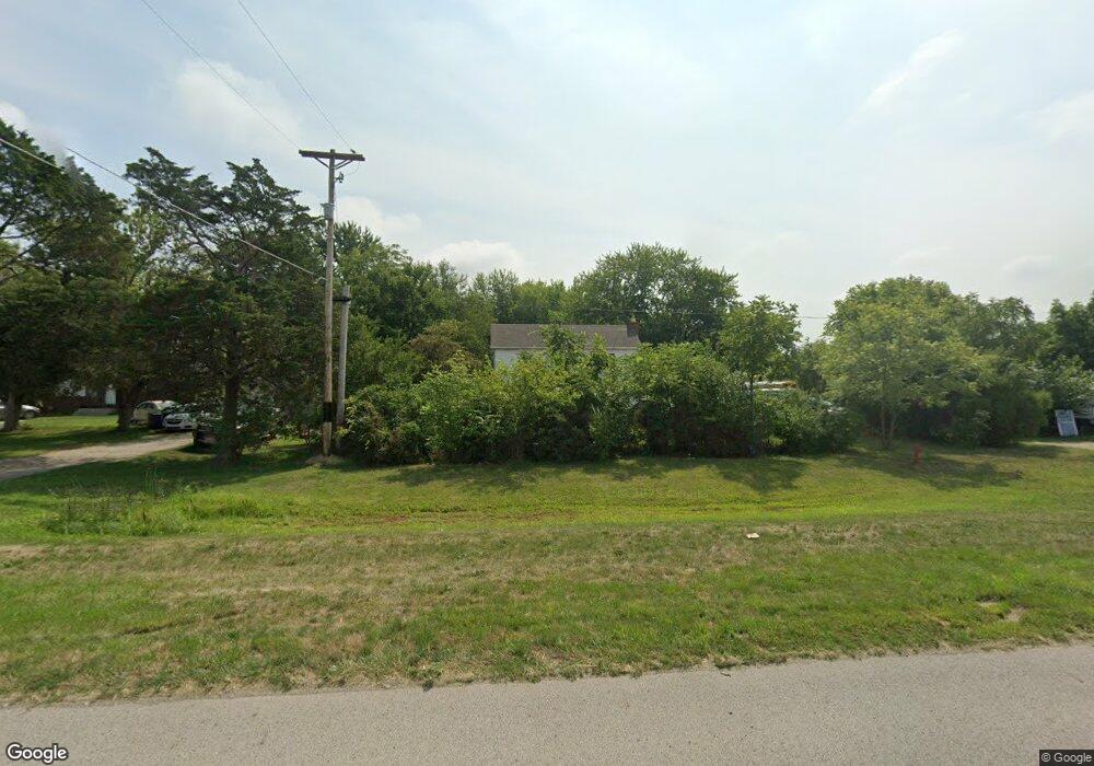
10548 E State Route 762 Pike Lockbourne, OH 43137
Estimated Value: $143,000 - $778,000
2
Beds
1
Bath
1,624
Sq Ft
$207/Sq Ft
Est. Value
About This Home
This home is located at 10548 E State Route 762 Pike, Lockbourne, OH 43137 and is currently estimated at $336,688, approximately $207 per square foot. 10548 E State Route 762 Pike is a home located in Pickaway County.
Ownership History
Date
Name
Owned For
Owner Type
Purchase Details
Closed on
Apr 17, 2024
Sold by
Gonzalez Abraham Moses Figueroa
Bought by
Gonzalez Salomon Melquisedec
Current Estimated Value
Purchase Details
Closed on
Jan 10, 2022
Sold by
Brown William J
Bought by
Brown Mary E
Purchase Details
Closed on
Apr 29, 2013
Sold by
Brown William J
Bought by
Department Of Transportation
Purchase Details
Closed on
Oct 1, 1988
Create a Home Valuation Report for This Property
The Home Valuation Report is an in-depth analysis detailing your home's value as well as a comparison with similar homes in the area
Home Values in the Area
Average Home Value in this Area
Purchase History
| Date | Buyer | Sale Price | Title Company |
|---|---|---|---|
| Gonzalez Salomon Melquisedec | -- | None Listed On Document | |
| Gonzalez Salomon Melquisedec | -- | None Listed On Document | |
| Brown Mary E | $85,000 | Transcounty Title | |
| Figueroa Rodolfo J | $85,000 | Transcounty Title | |
| Department Of Transportation | $1,430 | None Available | |
| -- | $60,000 | -- |
Source: Public Records
Tax History Compared to Growth
Tax History
| Year | Tax Paid | Tax Assessment Tax Assessment Total Assessment is a certain percentage of the fair market value that is determined by local assessors to be the total taxable value of land and additions on the property. | Land | Improvement |
|---|---|---|---|---|
| 2024 | -- | $50,340 | $15,560 | $34,780 |
| 2023 | $1,904 | $50,340 | $15,560 | $34,780 |
| 2022 | $1,870 | $45,510 | $12,790 | $32,720 |
| 2021 | $1,770 | $45,510 | $12,790 | $32,720 |
| 2020 | $1,774 | $45,510 | $12,790 | $32,720 |
| 2019 | $1,489 | $38,080 | $12,100 | $25,980 |
| 2018 | $1,550 | $38,080 | $12,100 | $25,980 |
| 2017 | $1,591 | $38,080 | $12,100 | $25,980 |
| 2016 | $1,454 | $34,650 | $11,410 | $23,240 |
| 2015 | $1,454 | $34,650 | $11,410 | $23,240 |
| 2014 | $1,455 | $34,650 | $11,410 | $23,240 |
| 2013 | $1,617 | $37,180 | $11,570 | $25,610 |
Source: Public Records
Map
Nearby Homes
- 10555 Lockbourne Eastern Rd
- 10591 Lockbourne Eastern Rd
- 10621 Lockbourne Eastern Rd
- 10677 Lockbourne Eastern Rd
- 11048 Ashville Pike
- 10755 Lockbourne Eastern Rd
- 3109 E Old Duvall Ct
- 2864 W Old Duvall Ct
- 2901 W Old Duvall Ct
- 2767 W Old Duvall Ct
- 10874 Bulen Pierce Rd
- 10910 Bulen Pierce Rd
- 2713 W Old Duvall Ct
- 10942 Bulen Pierce Rd
- 10610 E State Route 762
- 10610 E State Route 762 Unit Lot 82B
- 10610 E State Route 762 Unit Lot 72
- 10976 Bulen Pierce Rd
- 0 Duvall Rd Unit 225032483
- 12382 Bulen Pierce Rd
- 10548 E State Route 762
- 10554 E State Route 762 Pike
- 10524 E State Route 762 Pike
- 10484 Ashville Pike
- 10484 E State Route 762 Pike
- 10484 E State Route 762
- 10481 Ashville Pike
- 10472 E State Route 762 Pike
- 10472 E State Route 762
- 10442 E State Route 762 Pike
- 10420 E State Route 762 Pike
- 10926 E State Route 762
- 10694 State Rte 762
- 10610 State Rte 762
- 10694 Ashville Pike Unit L-40
- 10694 Ashville Pike Unit L112
- 10694 Ashville Pike Unit LOT94
- 10694 Ashville Pike Unit Lot82
- 10694 Ashville Pike Unit L-101
- 10694 Ashville Pike Unit 81