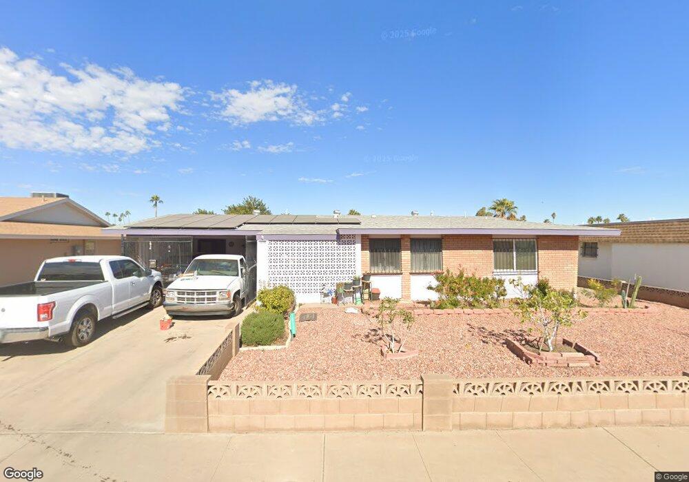
10548 W Caron Dr Sun City, AZ 85351
Estimated Value: $248,058 - $310,000
--
Bed
2
Baths
1,541
Sq Ft
$189/Sq Ft
Est. Value
About This Home
This home is located at 10548 W Caron Dr, Sun City, AZ 85351 and is currently estimated at $291,515, approximately $189 per square foot. 10548 W Caron Dr is a home located in Maricopa County with nearby schools including Ombudsman - Northwest Charter and Peoria Accelerated High School.
Ownership History
Date
Name
Owned For
Owner Type
Purchase Details
Closed on
Nov 25, 2020
Sold by
Scofield Donald E
Bought by
Scofield Donald E and Holwell Rosalina
Current Estimated Value
Purchase Details
Closed on
May 12, 2005
Sold by
Scofield Don
Bought by
Scofield Donald E and Scofield Georgina B
Purchase Details
Closed on
Jul 27, 1995
Sold by
Carey Constance L and Peterson Carl E
Bought by
Scofield Don and Scofield Zella M
Home Financials for this Owner
Home Financials are based on the most recent Mortgage that was taken out on this home.
Original Mortgage
$54,000
Interest Rate
7.63%
Mortgage Type
Purchase Money Mortgage
Purchase Details
Closed on
Aug 29, 1994
Sold by
Livi Bernhard Anne O and Livi Anne O Bernhard Revocable
Bought by
Carey Constance L and Peterson Carl E
Home Financials for this Owner
Home Financials are based on the most recent Mortgage that was taken out on this home.
Original Mortgage
$57,600
Interest Rate
8.55%
Mortgage Type
Seller Take Back
Create a Home Valuation Report for This Property
The Home Valuation Report is an in-depth analysis detailing your home's value as well as a comparison with similar homes in the area
Home Values in the Area
Average Home Value in this Area
Purchase History
| Date | Buyer | Sale Price | Title Company |
|---|---|---|---|
| Scofield Donald E | -- | None Available | |
| Scofield Donald E | -- | -- | |
| Scofield Don | $84,000 | First American Title | |
| Carey Constance L | $72,000 | First American Title |
Source: Public Records
Mortgage History
| Date | Status | Borrower | Loan Amount |
|---|---|---|---|
| Previous Owner | Scofield Don | $54,000 | |
| Previous Owner | Carey Constance L | $57,600 |
Source: Public Records
Tax History Compared to Growth
Tax History
| Year | Tax Paid | Tax Assessment Tax Assessment Total Assessment is a certain percentage of the fair market value that is determined by local assessors to be the total taxable value of land and additions on the property. | Land | Improvement |
|---|---|---|---|---|
| 2025 | $1,005 | $12,417 | -- | -- |
| 2024 | $903 | $11,826 | -- | -- |
| 2023 | $903 | $22,000 | $4,400 | $17,600 |
| 2022 | $851 | $17,280 | $3,450 | $13,830 |
| 2021 | $878 | $16,170 | $3,230 | $12,940 |
| 2020 | $855 | $14,050 | $2,810 | $11,240 |
| 2019 | $839 | $12,980 | $2,590 | $10,390 |
| 2018 | $808 | $11,780 | $2,350 | $9,430 |
| 2017 | $780 | $10,420 | $2,080 | $8,340 |
| 2016 | $728 | $9,820 | $1,960 | $7,860 |
| 2015 | $695 | $7,650 | $1,530 | $6,120 |
Source: Public Records
Map
Nearby Homes
- 10707 W Mission Ln
- 9202 N 107th Ave Unit 8
- 10726 W Kelso Dr Unit 172
- 10731 W Mission Ln Unit 200
- 10726 W Denham Dr Unit 16
- 10732 W Denham Dr Unit 17
- 10825 W Caron Dr
- 8803 N 105th Dr
- 10326 W Caron Dr
- 8800 N 107th Ave Unit 17
- 8800 N 107th Ave Unit 19
- 8800 N 107th Ave Unit 52
- 10512 W Ruth Ave
- 10816 W Venturi Dr
- 10801 W Mountain View Rd
- 10603 W Ruth Ave
- 9802 N 107th Ave
- 9815 N 103rd Ave
- 10788 W Cinnebar Ave
- 10316 W Salem Dr Unit 6D
- 10602 W Caron Dr
- 10542 W Caron Dr
- 10549 W Kelso Dr
- 10603 W Kelso Dr
- 10541 W Caron Dr
- 10534 W Caron Dr
- 10612 W Caron Dr
- 10609 W Kelso Dr
- 10605 W Caron Dr
- 10531 W Kelso Dr
- 10528 W Caron Dr
- 10618 W Caron Dr
- 10617 W Kelso Dr
- 10537 W Caron Dr
- 10523 W Kelso Dr
- 10527 W Caron Dr
- 10550 W Kelso Dr Unit 7
- 10544 W Kelso Dr
- 10604 W Kelso Dr
- 10627 W Kelso Dr