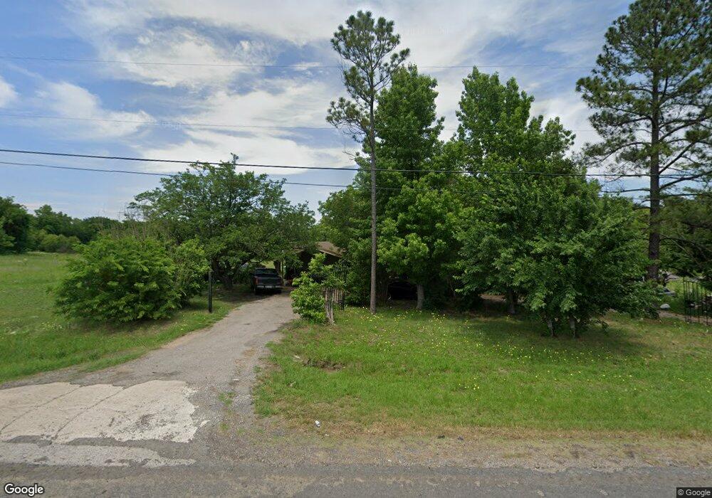
10549 State Highway 56 Unit US Sherman, TX 75090
Estimated Value: $260,651 - $370,000
--
Bed
--
Bath
1,314
Sq Ft
$240/Sq Ft
Est. Value
About This Home
This home is located at 10549 State Highway 56 Unit US, Sherman, TX 75090 and is currently estimated at $315,326, approximately $239 per square foot. 10549 State Highway 56 Unit US is a home located in Grayson County with nearby schools including Jefferson Elementary School, Piner Middle School, and Dillingham Intermediate School.
Ownership History
Date
Name
Owned For
Owner Type
Purchase Details
Closed on
Mar 10, 2016
Sold by
Gracia Carie L
Bought by
Gracia Heracleo E
Current Estimated Value
Purchase Details
Closed on
Dec 1, 2011
Sold by
Stripling David M and Stripling Philip C
Bought by
Gracia Heracleo E and Gracia Carie L
Home Financials for this Owner
Home Financials are based on the most recent Mortgage that was taken out on this home.
Original Mortgage
$49,500
Interest Rate
4.03%
Mortgage Type
Unknown
Create a Home Valuation Report for This Property
The Home Valuation Report is an in-depth analysis detailing your home's value as well as a comparison with similar homes in the area
Home Values in the Area
Average Home Value in this Area
Purchase History
| Date | Buyer | Sale Price | Title Company |
|---|---|---|---|
| Gracia Heracleo E | -- | None Available | |
| Gracia Heracleo E | -- | Grayson County Title |
Source: Public Records
Mortgage History
| Date | Status | Borrower | Loan Amount |
|---|---|---|---|
| Closed | Gracia Heracleo E | $49,500 | |
| Closed | Gracia Heracleo E | $49,500 |
Source: Public Records
Tax History Compared to Growth
Tax History
| Year | Tax Paid | Tax Assessment Tax Assessment Total Assessment is a certain percentage of the fair market value that is determined by local assessors to be the total taxable value of land and additions on the property. | Land | Improvement |
|---|---|---|---|---|
| 2025 | $1,134 | $164,780 | -- | -- |
| 2024 | $2,530 | $149,800 | $0 | $0 |
| 2023 | $931 | $136,182 | $0 | $0 |
| 2022 | $2,325 | $123,802 | $0 | $0 |
| 2021 | $2,276 | $115,740 | $46,432 | $69,308 |
| 2020 | $2,190 | $113,972 | $37,750 | $76,222 |
| 2019 | $2,115 | $93,014 | $33,501 | $59,513 |
| 2018 | $1,804 | $86,404 | $28,000 | $58,404 |
| 2017 | $1,706 | $81,198 | $25,000 | $56,198 |
| 2016 | $1,635 | $77,799 | $21,000 | $56,799 |
| 2015 | $1,701 | $80,299 | $20,501 | $59,798 |
| 2014 | $1,359 | $64,149 | $20,501 | $43,648 |
Source: Public Records
Map
Nearby Homes
- 67 Mitchell Rd
- 545 Mitchell Rd
- 591 Mitchell Rd
- 262 Pecan Valley Ct
- 11086 State Highway 56
- 9942 State Highway 56
- 225 Jp Cave Rd
- 979 Mitchell Rd
- 225 Caleb Rd
- 1350 Independence Springs
- 176 Blue Creek Cir
- 741 S Valentine Dr
- 746 S Valentine Dr
- 754 Patricia Dr
- 818 Patricia Dr
- 713 Hillside Dr
- 621 Hillside Dr
- 1015 S Valentine Dr
- 601 Hillside Dr
- 2493 Baker Ridge Rd
- 10601 State Highway 56
- 10601 State Highway 56
- 10461 State Highway 56
- 10653 State Highway 56
- 186 Mitchell Rd
- 000 Mitchell Rd
- 266 Mitchell Rd
- 111 Mitchell Rd
- 2 Mitchell Rd
- 6 Mitchell Rd
- 4 Mitchell Rd
- 320 Mitchell Rd
- 10679 State Highway 56
- 10409 State Highway 56
- 10409 State Highway 56
- 350 Mitchell Rd
- 7 Mitchell Rd
- 3 Mitchell Rd
- 5 Mitchell Rd
- 1 Mitchell Rd