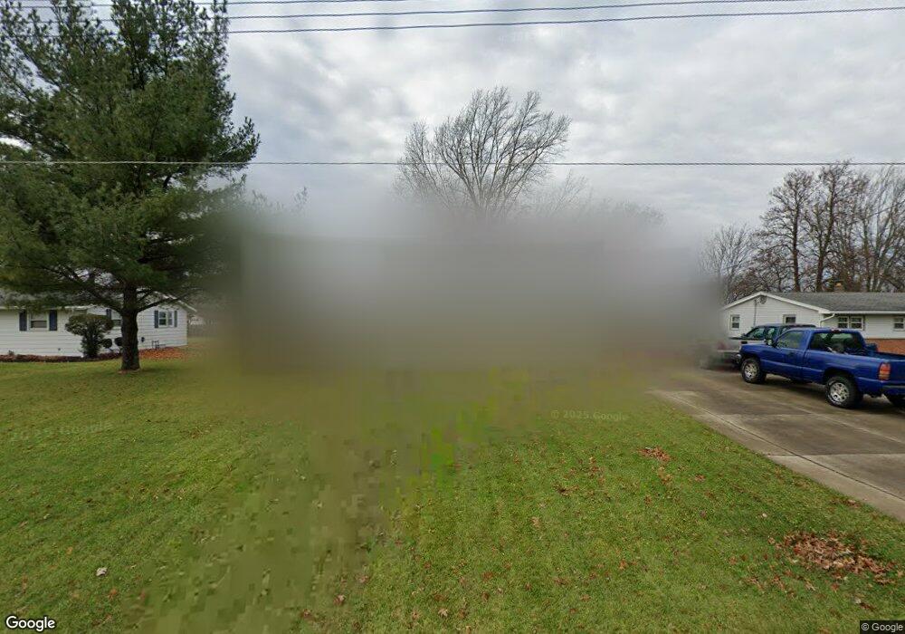
1055 Brookdale Dr Crestline, OH 44827
Estimated Value: $105,000 - $221,000
4
Beds
2
Baths
1,176
Sq Ft
$139/Sq Ft
Est. Value
About This Home
This home is located at 1055 Brookdale Dr, Crestline, OH 44827 and is currently estimated at $163,151, approximately $138 per square foot. 1055 Brookdale Dr is a home located in Richland County with nearby schools including Stingel Elementary School, Ontario Middle School, and Ontario High School.
Ownership History
Date
Name
Owned For
Owner Type
Purchase Details
Closed on
Jul 29, 2016
Sold by
Kanouse Nicholas K
Bought by
Kanouse Heather A
Current Estimated Value
Purchase Details
Closed on
May 13, 2010
Sold by
Rader James A and Rader Kasey Jo
Bought by
Kanouse Nicholas K and Kanouse Heather A
Home Financials for this Owner
Home Financials are based on the most recent Mortgage that was taken out on this home.
Original Mortgage
$107,057
Outstanding Balance
$72,455
Interest Rate
5.25%
Mortgage Type
FHA
Estimated Equity
$90,696
Purchase Details
Closed on
Aug 21, 2000
Sold by
Sutter E Ellen
Bought by
Rader James A and Rader Kasey Jo Thomas
Home Financials for this Owner
Home Financials are based on the most recent Mortgage that was taken out on this home.
Original Mortgage
$85,500
Interest Rate
8.16%
Mortgage Type
New Conventional
Purchase Details
Closed on
Aug 1, 1985
Create a Home Valuation Report for This Property
The Home Valuation Report is an in-depth analysis detailing your home's value as well as a comparison with similar homes in the area
Home Values in the Area
Average Home Value in this Area
Purchase History
| Date | Buyer | Sale Price | Title Company |
|---|---|---|---|
| Kanouse Heather A | -- | None Available | |
| Kanouse Nicholas K | $108,500 | Attorney | |
| Rader James A | $90,000 | -- | |
| -- | $52,000 | -- |
Source: Public Records
Mortgage History
| Date | Status | Borrower | Loan Amount |
|---|---|---|---|
| Open | Kanouse Nicholas K | $107,057 | |
| Closed | Rader James A | $85,500 |
Source: Public Records
Tax History Compared to Growth
Tax History
| Year | Tax Paid | Tax Assessment Tax Assessment Total Assessment is a certain percentage of the fair market value that is determined by local assessors to be the total taxable value of land and additions on the property. | Land | Improvement |
|---|---|---|---|---|
| 2024 | $1,978 | $39,340 | $7,150 | $32,190 |
| 2023 | $1,978 | $39,340 | $7,150 | $32,190 |
| 2022 | $1,956 | $33,770 | $6,510 | $27,260 |
| 2021 | $1,959 | $33,770 | $6,510 | $27,260 |
| 2020 | $2,091 | $33,770 | $6,510 | $27,260 |
| 2019 | $1,996 | $28,610 | $5,510 | $23,100 |
| 2018 | $1,701 | $28,610 | $5,510 | $23,100 |
| 2017 | $1,674 | $28,610 | $5,510 | $23,100 |
| 2016 | $1,719 | $29,220 | $5,350 | $23,870 |
| 2015 | $1,718 | $29,220 | $5,350 | $23,870 |
| 2014 | $1,721 | $29,220 | $5,350 | $23,870 |
| 2012 | $807 | $30,120 | $5,510 | $24,610 |
Source: Public Records
Map
Nearby Homes
- 4825 Lincoln Hwy
- 5263 Lincoln Hwy
- 5380 Lincoln Hwy
- 4451 Beam Rd
- 5446 Lincoln Hwy
- 5450 Lincoln Hwy
- 1260 Thrush Rd
- 832 State Route 314 N
- 1671 State Route 314 N
- 1689 Ohio 314
- 1689 State Route 314
- 718 E Main St
- 763 County Line Rd Unit Lot 103
- 763 County Line Rd Unit Lot 109
- 763 County Line Rd Unit Lot 44
- 763 County Line Rd Unit Lot 48
- 763 County Line Rd
- 763 County Line Rd Unit 36
- 763 County Line Rd Unit 32
- 763 County Line Rd Unit Lot 24
- 1065 Brookdale Dr
- 1045 Brookdale Dr
- 1075 Brookdale Dr
- 1054 Brookdale Dr
- 1055 Crestview Dr
- 1061 Crestview Dr
- 1044 Brookdale Dr
- 1064 Brookdale Dr
- 1045 Crestview Dr
- 1031 Brookdale Dr
- 1073 Crestview Dr
- 1074 Brookdale Dr
- 1085 Brookdale Dr
- 1020 Brookdale Dr
- 1077 Crestview Dr
- 1084 Brookdale Dr
- 1091 Crestview Dr
- 1011 Brookdale Dr
- 1095 Brookdale Dr
- 1010 Brookdale Dr