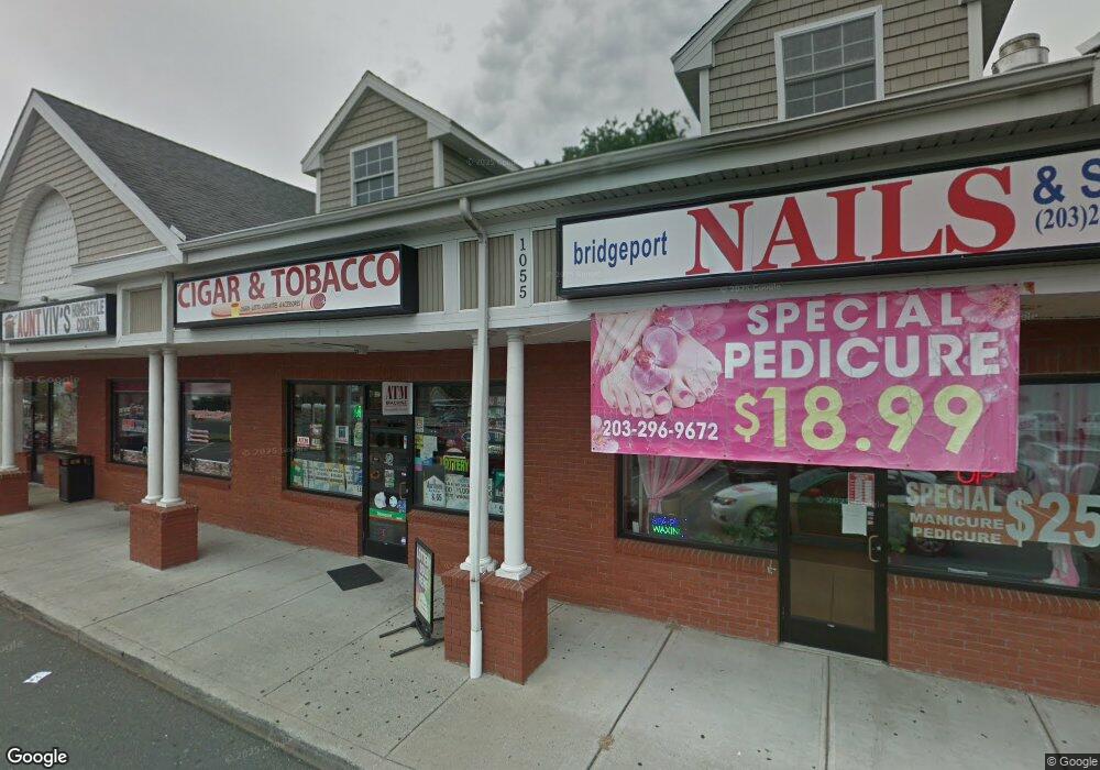
1055 Huntington Turnpike Unit 3 Bridge Port, CT 06610
North Bridgeport Neighborhood
2
Beds
1
Bath
8,840
Sq Ft
--
Built
About This Home
This home is located at 1055 Huntington Turnpike Unit 3, Bridge Port, CT 06610. 1055 Huntington Turnpike Unit 3 is a home located in Fairfield County with nearby schools including Hooker School and Harding High School.
Ownership History
Date
Name
Owned For
Owner Type
Purchase Details
Closed on
Jul 16, 2014
Sold by
Broadbridge Hill Dev
Bought by
Tpke 1055 Huntinghton
Purchase Details
Closed on
Sep 5, 2003
Sold by
Corsco George
Bought by
Broad Bridge Hill Dev
Home Financials for this Owner
Home Financials are based on the most recent Mortgage that was taken out on this home.
Original Mortgage
$200,000
Interest Rate
6%
Mortgage Type
Commercial
Create a Home Valuation Report for This Property
The Home Valuation Report is an in-depth analysis detailing your home's value as well as a comparison with similar homes in the area
Home Values in the Area
Average Home Value in this Area
Purchase History
| Date | Buyer | Sale Price | Title Company |
|---|---|---|---|
| Tpke 1055 Huntinghton | -- | -- | |
| 1055 Huntinghton Tpke | -- | -- | |
| Broad Bridge Hill Dev | $235,000 | -- | |
| Broad Bridge Hill Dev | $235,000 | -- |
Source: Public Records
Mortgage History
| Date | Status | Borrower | Loan Amount |
|---|---|---|---|
| Previous Owner | Broad Bridge Hill Dev | $1,250,000 | |
| Previous Owner | Broad Bridge Hill Dev | $200,000 |
Source: Public Records
Tax History Compared to Growth
Tax History
| Year | Tax Paid | Tax Assessment Tax Assessment Total Assessment is a certain percentage of the fair market value that is determined by local assessors to be the total taxable value of land and additions on the property. | Land | Improvement |
|---|---|---|---|---|
| 2025 | $42,072 | $968,280 | $290,860 | $677,420 |
| 2024 | $42,072 | $968,280 | $290,860 | $677,420 |
| 2023 | $42,072 | $968,280 | $290,860 | $677,420 |
| 2022 | $42,072 | $968,280 | $290,860 | $677,420 |
| 2021 | $42,072 | $968,280 | $290,860 | $677,420 |
| 2020 | $38,652 | $715,910 | $238,010 | $477,900 |
| 2019 | $38,652 | $715,910 | $238,010 | $477,900 |
| 2018 | $38,924 | $715,910 | $238,010 | $477,900 |
| 2017 | $38,924 | $715,910 | $238,010 | $477,900 |
| 2016 | $38,924 | $715,910 | $238,010 | $477,900 |
| 2015 | $32,838 | $778,160 | $269,750 | $508,410 |
| 2014 | $32,838 | $778,160 | $269,750 | $508,410 |
Source: Public Records
Map
Nearby Homes
- 374 Mapledale Place
- 275 Roger Williams Rd
- 11 Knollcrest Dr
- 69 Glen Cir
- 115 Silver St
- 123 Beverly Dr
- 375 Silver St
- 3699 Broadbridge Ave Unit 107
- 53 Beverly Dr
- 50 Pilgrim Rd
- 165 Nutmeg Rd
- 450 Emerald Place
- 197 Dupont Place Unit 199
- 32 Marshall Ave
- 206 Huntington Turnpike
- 250 Dayton Rd
- 80 Daniel Dr
- 227 Sylvan St
- 217 Hillcrest Rd
- 120 Huntington Turnpike Unit 202
- 1055 Huntington Turnpike
- 60 Duane Place
- 1077 Huntington Turnpike
- 443 Broadbridge Rd
- 80 Duane Place
- 1086 Huntington Turnpike
- 31 Duane Place
- 1105 Huntington Turnpike
- 529 Broadbridge Rd
- 25 Duane Place
- 75 Duane Place
- 1100 Huntington Turnpike
- 1104 Huntington Turnpike
- 105 Duane Place
- 1125 Huntington Turnpike
- 495 Hooker Rd
- 105 Duane Place
- 110 Duane Place
- 90 Duane Place
- 471 Hooker Rd