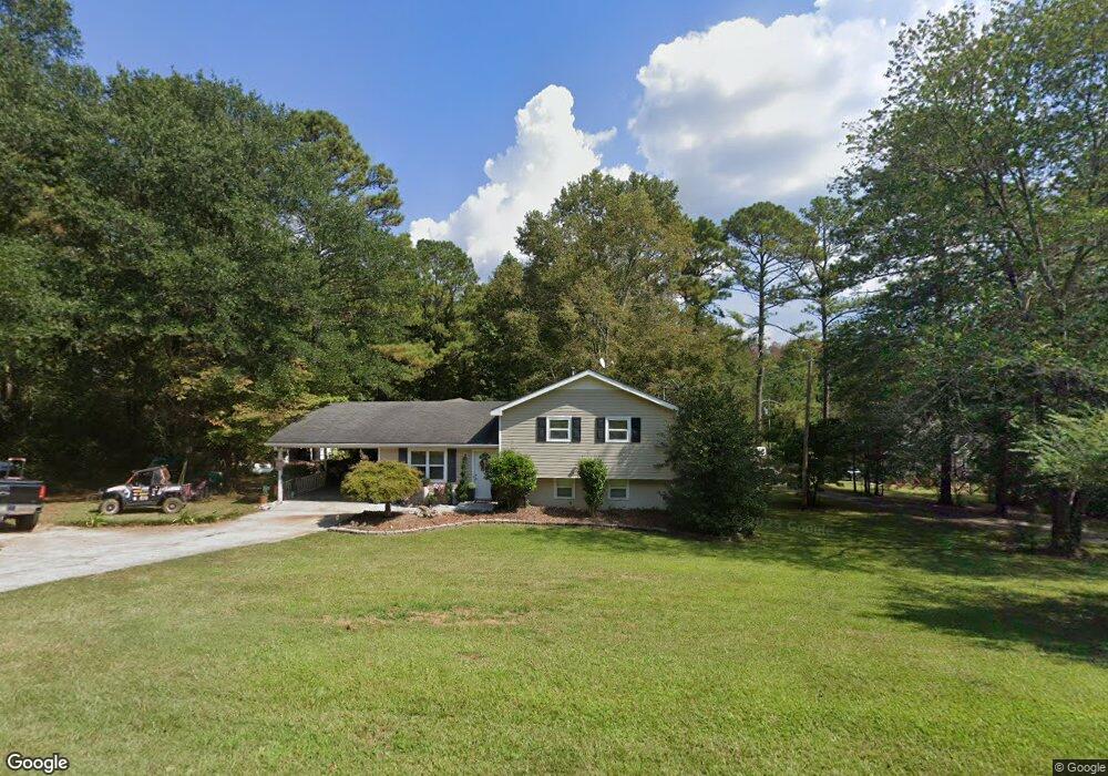
1055 Mclendon Cir Carrollton, GA 30117
Estimated Value: $215,206 - $300,000
3
Beds
2
Baths
1,064
Sq Ft
$245/Sq Ft
Est. Value
About This Home
This home is located at 1055 Mclendon Cir, Carrollton, GA 30117 and is currently estimated at $261,052, approximately $245 per square foot. 1055 Mclendon Cir is a home located in Carroll County with nearby schools including Central Elementary School, Central Middle School, and Central High School.
Ownership History
Date
Name
Owned For
Owner Type
Purchase Details
Closed on
Dec 4, 2006
Sold by
Johnson William A and Todd Jenni
Bought by
Flores Naomi
Current Estimated Value
Purchase Details
Closed on
May 28, 2004
Sold by
Lewis F Stuart
Bought by
Johnson William A and Todd Jennifer B
Purchase Details
Closed on
Jun 16, 1999
Sold by
Lewis Lori
Bought by
Lewis F Stuart
Purchase Details
Closed on
Oct 17, 1988
Bought by
Lewis
Create a Home Valuation Report for This Property
The Home Valuation Report is an in-depth analysis detailing your home's value as well as a comparison with similar homes in the area
Home Values in the Area
Average Home Value in this Area
Purchase History
| Date | Buyer | Sale Price | Title Company |
|---|---|---|---|
| Flores Naomi | $135,400 | -- | |
| Johnson William A | $88,300 | -- | |
| Lewis F Stuart | -- | -- | |
| Lewis | -- | -- |
Source: Public Records
Tax History Compared to Growth
Tax History
| Year | Tax Paid | Tax Assessment Tax Assessment Total Assessment is a certain percentage of the fair market value that is determined by local assessors to be the total taxable value of land and additions on the property. | Land | Improvement |
|---|---|---|---|---|
| 2024 | $1,218 | $64,032 | $8,316 | $55,716 |
| 2023 | $1,218 | $57,429 | $6,653 | $50,776 |
| 2022 | $1,009 | $45,239 | $4,436 | $40,803 |
| 2021 | $888 | $38,648 | $3,548 | $35,100 |
| 2020 | $789 | $34,738 | $3,226 | $31,512 |
| 2019 | $738 | $32,526 | $3,226 | $29,300 |
| 2018 | $695 | $30,475 | $2,626 | $27,849 |
| 2017 | $697 | $30,475 | $2,626 | $27,849 |
| 2016 | $698 | $30,475 | $2,626 | $27,849 |
| 2015 | $1,055 | $41,723 | $10,000 | $31,723 |
| 2014 | $1,060 | $41,723 | $10,000 | $31,723 |
Source: Public Records
Map
Nearby Homes
- 915 Oak Grove Rd
- 2214 Hays Mill Rd
- 2492 Oak Grove Church Rd
- 533 Buffalo Creek Rd
- 0 Buffalo Creek Rd Unit 10624169
- 1585 Hays Mill Rd
- 315 Laurel Rd
- 195 Gold Dust Trail
- 105 Woodbine Dr
- 345 Piney Grove Rd
- 1250 Hays Mill Rd
- 400 Stripling Chapel Rd
- 0 Bonner Rd Unit 10635754
- 0 Ringer Rd Unit 10595950
- 135 Gray Rd
- 399 Old Camp Church Rd
- 221 Valley Ridge Dr
- 1531 Tyus Carrollton Rd
- 1045 Mclendon Cir
- 1112 Oak Grove Rd
- 1011 Mclendon Cir
- 1093 Oak Grove Rd
- 989 Mclendon Cir
- 2405 Hays Mill Rd
- 992 Oak Grove Rd
- 1130 Oak Grove Rd
- 975 Mclendon Cir
- 959 Mclendon Cir
- 1141 Oak Grove Rd
- 964 Oak Grove Rd
- 1009 Oak Grove Rd
- 1250 Oak Grove Rd
- 1170 Oak Grove Rd
- 979 Oak Grove Rd
- 2345 Hays Mill Rd
- 920 Oak Grove Rd
- 945 Oak Grove Rd
- 2339 Hays Mill Rd