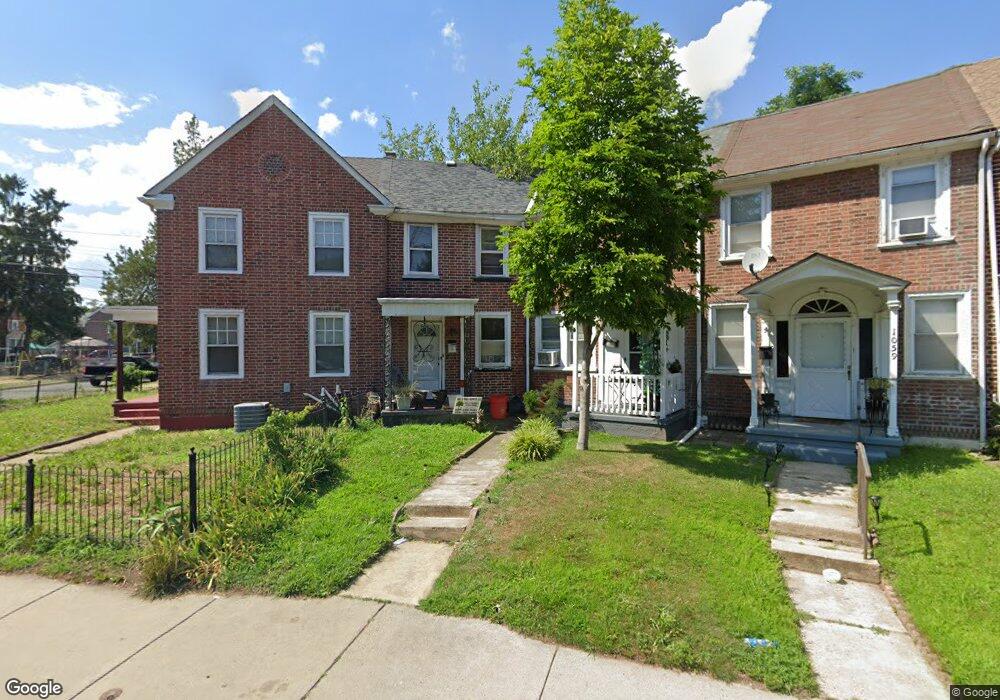
1055 Monitor Rd Camden, NJ 08104
Fairview NeighborhoodEstimated Value: $82,668 - $149,000
--
Bed
--
Bath
919
Sq Ft
$134/Sq Ft
Est. Value
About This Home
This home is located at 1055 Monitor Rd, Camden, NJ 08104 and is currently estimated at $123,417, approximately $134 per square foot. 1055 Monitor Rd is a home located in Camden County with nearby schools including Yorkship Elementary School, Camden High School, and Gloucester Catholic Junior Senior High School.
Ownership History
Date
Name
Owned For
Owner Type
Purchase Details
Closed on
Sep 28, 1995
Sold by
Jacquot Pierre S
Bought by
Clay Ethel
Current Estimated Value
Home Financials for this Owner
Home Financials are based on the most recent Mortgage that was taken out on this home.
Original Mortgage
$34,000
Outstanding Balance
$245
Interest Rate
7.86%
Estimated Equity
$123,172
Create a Home Valuation Report for This Property
The Home Valuation Report is an in-depth analysis detailing your home's value as well as a comparison with similar homes in the area
Home Values in the Area
Average Home Value in this Area
Purchase History
| Date | Buyer | Sale Price | Title Company |
|---|---|---|---|
| Clay Ethel | $35,000 | -- |
Source: Public Records
Mortgage History
| Date | Status | Borrower | Loan Amount |
|---|---|---|---|
| Open | Clay Ethel | $34,000 |
Source: Public Records
Tax History Compared to Growth
Tax History
| Year | Tax Paid | Tax Assessment Tax Assessment Total Assessment is a certain percentage of the fair market value that is determined by local assessors to be the total taxable value of land and additions on the property. | Land | Improvement |
|---|---|---|---|---|
| 2025 | $2,097 | $59,200 | $14,100 | $45,100 |
| 2024 | $2,028 | $59,200 | $14,100 | $45,100 |
| 2023 | $2,028 | $59,200 | $14,100 | $45,100 |
| 2022 | $1,990 | $59,200 | $14,100 | $45,100 |
| 2021 | $1,815 | $59,200 | $14,100 | $45,100 |
| 2020 | $1,883 | $59,200 | $14,100 | $45,100 |
| 2019 | $1,803 | $59,200 | $14,100 | $45,100 |
| 2018 | $1,793 | $59,200 | $14,100 | $45,100 |
| 2017 | $1,749 | $59,200 | $14,100 | $45,100 |
| 2016 | $1,694 | $59,200 | $14,100 | $45,100 |
| 2015 | $1,630 | $59,200 | $14,100 | $45,100 |
| 2014 | $1,591 | $59,200 | $14,100 | $45,100 |
Source: Public Records
Map
Nearby Homes
- 1065 Ironside Rd
- 1020 Niagara Rd
- 1029 Ironside Rd
- 3159 W Ironside Rd
- 3044 Fenwick Rd
- 1072 S Merrimac Rd
- 2909 Yorkship Rd
- 2870 Kansas Rd
- 1261 S Merrimac Rd
- 3069 S Chesapeake Rd
- 2845 N Constitution Rd
- 2828 Yorkship Rd Unit 1
- 3079 Alabama Rd
- 1300 S Merrimac Rd
- 1333 Argus Rd
- 1316 S Merrimac Rd
- 2682 N Congress Rd
- 2931 N Constitution Rd
- 1433 N Chesapeake Rd
- 3044 N Merrimac Rd
- 1057 Monitor Rd
- 3120 Sumter Rd
- 1059 Monitor Rd
- 1061 Monitor Rd
- 3104 Sumter Rd
- 1063 Monitor Rd
- 1064 Ironside Rd
- 1052 Ironside Rd
- 3129 Kearsarge Rd
- 1068 Ironside Rd
- 3115 Kearsarge Rd
- 1070 Ironside Rd
- 1031 Monitor Rd
- 3113 Kearsarge Rd
- 1050 Monitor Rd
- 1052 Monitor Rd
- 1054 Monitor Rd
- 3111 Kearsarge Rd
- 1056 Monitor Rd