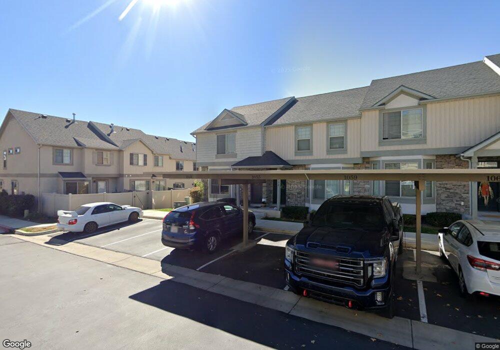
1055 N 1880 W Unit 41 Provo, UT 84604
Rivergrove NeighborhoodEstimated Value: $381,000 - $417,000
3
Beds
3
Baths
2,091
Sq Ft
$193/Sq Ft
Est. Value
About This Home
This home is located at 1055 N 1880 W Unit 41, Provo, UT 84604 and is currently estimated at $403,736, approximately $193 per square foot. 1055 N 1880 W Unit 41 is a home located in Utah County with nearby schools including Westridge Elementary School, Dixon Middle School, and Provo High School.
Ownership History
Date
Name
Owned For
Owner Type
Purchase Details
Closed on
Feb 17, 2021
Sold by
Doman Morgan
Bought by
One Day Management Llc
Current Estimated Value
Purchase Details
Closed on
Jun 23, 2016
Sold by
Doman Morgan and Doman Durtis L
Bought by
Doman Morgan
Home Financials for this Owner
Home Financials are based on the most recent Mortgage that was taken out on this home.
Original Mortgage
$174,000
Interest Rate
3.57%
Mortgage Type
New Conventional
Purchase Details
Closed on
Jun 14, 2010
Sold by
Independence Avenue Llc
Bought by
Davis Stephen R
Home Financials for this Owner
Home Financials are based on the most recent Mortgage that was taken out on this home.
Original Mortgage
$148,800
Interest Rate
5.03%
Mortgage Type
New Conventional
Create a Home Valuation Report for This Property
The Home Valuation Report is an in-depth analysis detailing your home's value as well as a comparison with similar homes in the area
Home Values in the Area
Average Home Value in this Area
Purchase History
| Date | Buyer | Sale Price | Title Company |
|---|---|---|---|
| One Day Management Llc | -- | Vanguard Title Ins Agcy Llc | |
| Doman Morgan | -- | First Title Ins Agcy | |
| Doman Morgan | -- | Utah First Title Ins Ag | |
| Davis Stephen R | -- | First American Orem |
Source: Public Records
Mortgage History
| Date | Status | Borrower | Loan Amount |
|---|---|---|---|
| Previous Owner | Doman Morgan | $174,000 | |
| Previous Owner | Davis Stephen R | $148,800 |
Source: Public Records
Tax History Compared to Growth
Tax History
| Year | Tax Paid | Tax Assessment Tax Assessment Total Assessment is a certain percentage of the fair market value that is determined by local assessors to be the total taxable value of land and additions on the property. | Land | Improvement |
|---|---|---|---|---|
| 2025 | $2,127 | $207,515 | $55,500 | $321,800 |
| 2024 | $2,127 | $209,385 | $0 | $0 |
| 2023 | $2,056 | $199,485 | $0 | $0 |
| 2022 | $2,082 | $203,720 | $0 | $0 |
| 2021 | $1,632 | $278,500 | $41,800 | $236,700 |
| 2020 | $1,613 | $258,000 | $33,500 | $224,500 |
| 2019 | $1,551 | $258,000 | $33,500 | $224,500 |
| 2018 | $1,410 | $238,000 | $29,000 | $209,000 |
| 2017 | $1,305 | $121,000 | $0 | $0 |
| 2016 | $1,292 | $111,650 | $0 | $0 |
| 2015 | $1,215 | $106,150 | $0 | $0 |
| 2014 | $1,093 | $99,550 | $0 | $0 |
Source: Public Records
Map
Nearby Homes
- 2075 W 1080 N
- 2043 W 1100 N
- 962 Independence Ave
- 927 Independence Ave
- 1127 Independence Ave
- 932 N 1760 W
- 1893 Cascade Dr
- 1620 W 1000 N
- 2397 W 1160 N
- 1503 N 1980 W
- 582 N 2310 W
- 1574 W 1400 N
- 2216 W 480 N
- 1475 Arthur Dr Unit 7A
- 2316 W 510 N
- 1616 N 2100 W
- 1471 W 1460 N
- 392 N 2150 W
- 1682 N 2250 W
- 1679 N 2250 W
- 1059 N 1880 W
- 1059 N 1880 W Unit 42
- 1055 N 1880 W
- 1049 N 1880 W
- 1049 N 1880 W Unit 40
- 2047 W 1080 N
- 1894 W 1020 N Unit 37
- 1888 W 1020 N
- 1888 W 1020 N Unit 38
- 2059 W 1080 N
- 2059 W 1080 N Unit 97B
- 1898 W 1020 N
- 1898 W 1020 N Unit 36
- 1913 W 1020 N Unit 31
- 1913 W 1020 N
- 1884 W 1020 N
- 1884 W 1020 N Unit 39
- 1902 W 1020 N
- 1902 W 1020 N Unit 35
- 1057 Independence Ave