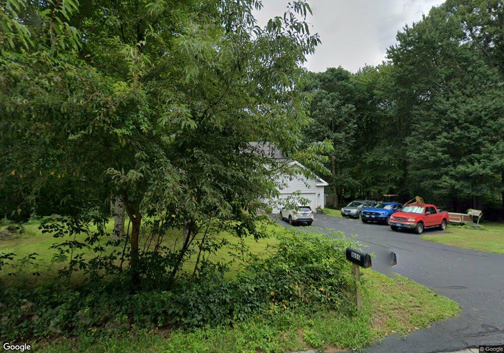
1055 Old Colchester Rd Oakdale, CT 06370
Estimated Value: $397,000 - $445,000
3
Beds
4
Baths
1,582
Sq Ft
$264/Sq Ft
Est. Value
About This Home
This home is located at 1055 Old Colchester Rd, Oakdale, CT 06370 and is currently estimated at $417,452, approximately $263 per square foot. 1055 Old Colchester Rd is a home located in New London County with nearby schools including Leonard J. Tyl Middle School, Montville High School, and Bradley School-New London Regional.
Ownership History
Date
Name
Owned For
Owner Type
Purchase Details
Closed on
May 10, 1996
Sold by
Morton William F and Morton Sandra M
Bought by
Santacroce Alan P and Santacroce Kathleen
Current Estimated Value
Purchase Details
Closed on
Jan 17, 1995
Sold by
Lakenbach Grace and Heller Harry B
Bought by
Morton William F and Morton Sandra
Create a Home Valuation Report for This Property
The Home Valuation Report is an in-depth analysis detailing your home's value as well as a comparison with similar homes in the area
Home Values in the Area
Average Home Value in this Area
Purchase History
| Date | Buyer | Sale Price | Title Company |
|---|---|---|---|
| Santacroce Alan P | $139,900 | -- | |
| Santacroce Alan P | $139,900 | -- | |
| Morton William F | $30,000 | -- | |
| Morton William F | $30,000 | -- |
Source: Public Records
Mortgage History
| Date | Status | Borrower | Loan Amount |
|---|---|---|---|
| Open | Morton William F | $100,000 | |
| Closed | Morton William F | $65,000 | |
| Closed | Morton William F | $60,000 |
Source: Public Records
Tax History Compared to Growth
Tax History
| Year | Tax Paid | Tax Assessment Tax Assessment Total Assessment is a certain percentage of the fair market value that is determined by local assessors to be the total taxable value of land and additions on the property. | Land | Improvement |
|---|---|---|---|---|
| 2025 | $5,790 | $200,550 | $31,500 | $169,050 |
| 2024 | $5,604 | $201,810 | $31,500 | $170,310 |
| 2023 | $5,542 | $199,570 | $31,500 | $168,070 |
| 2022 | $5,331 | $199,570 | $31,500 | $168,070 |
| 2021 | $5,111 | $160,990 | $39,490 | $121,500 |
| 2020 | $5,213 | $160,990 | $39,490 | $121,500 |
| 2019 | $5,234 | $160,990 | $39,490 | $121,500 |
| 2018 | $5,108 | $160,990 | $39,490 | $121,500 |
| 2017 | $5,103 | $160,990 | $39,490 | $121,500 |
| 2016 | $4,981 | $162,740 | $49,760 | $112,980 |
| 2015 | $4,981 | $162,740 | $49,760 | $112,980 |
| 2014 | $4,780 | $162,740 | $49,760 | $112,980 |
Source: Public Records
Map
Nearby Homes
- 995 Old Colchester Rd
- 49 Pennsylvania Ave
- 94 Massachusetts Rd
- 1300 Old Colchester Rd
- 79 Cottonwood Ln
- 636 Connecticut 163
- 15 Forsyth Rd
- 385 Oxoboxo Dam Rd
- 49 Cottonwood Ln
- 727 Old Colchester Rd
- 36 Beechwood Rd
- 82C Pires Dr
- 523 Route 163
- 33D Laurel Point Dr
- 33A Laurel Point Dr
- 89 Sharp Hill Rd
- 1399 Route 163
- 63 Velgouse Rd
- 45 Lynch Hill Rd
- 8 Eddy Ct
- 19 John W Luty Dr
- 1054 Old Colchester Rd
- 15 John W Luty Dr
- 23 John W Luty Dr
- 11 John W Luty Dr
- 1063 Old Colchester Rd
- 4 Mayo Ave
- 7 John W Luty Dr
- 24 John W Luty Dr
- 1071 Old Colchester Rd
- 20 John W Luty Dr
- 8 Mayo Ave
- 16 John W Luty Dr
- 11 Adamo Ave
- 12 John W Luty Dr
- 15 Adamo Ave
- 1079 Old Colchester Rd
- 8 John W Luty Dr
- 12 Mayo Ave
- 3 Mayo Ave