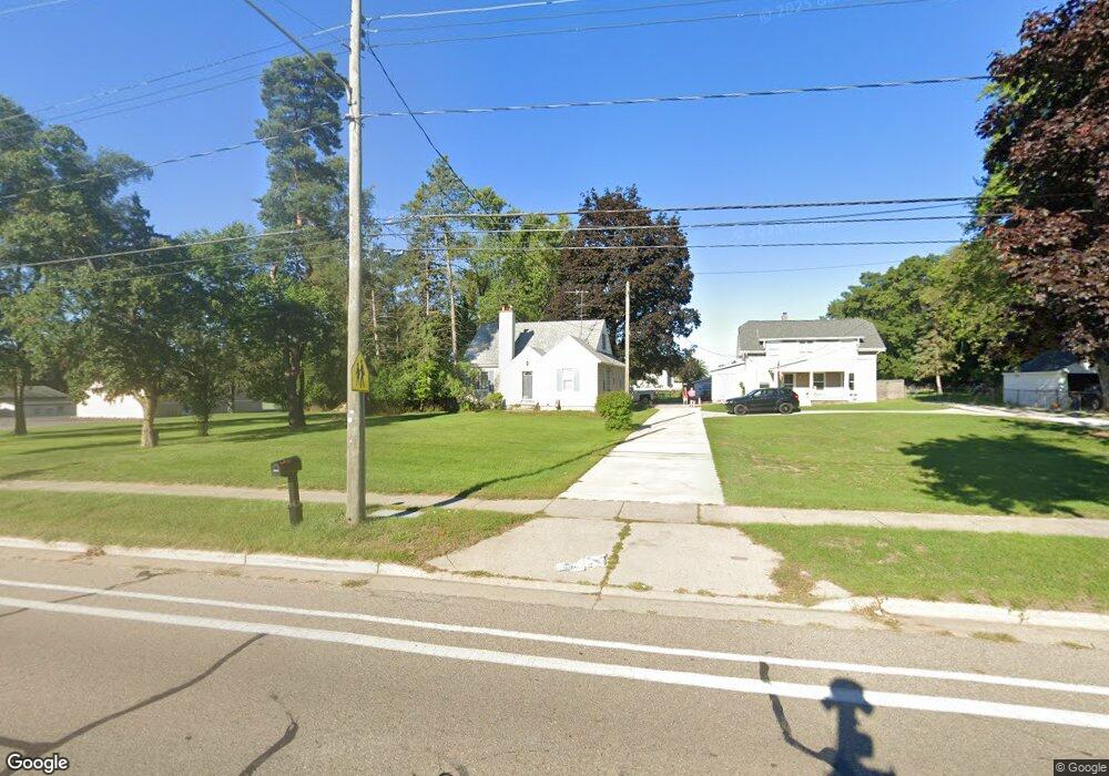
1055 Plymouth Ave NE Grand Rapids, MI 49505
North East Citizens Action NeighborhoodEstimated Value: $243,000 - $289,000
3
Beds
2
Baths
1
Sq Ft
$267,682/Sq Ft
Est. Value
About This Home
This home is located at 1055 Plymouth Ave NE, Grand Rapids, MI 49505 and is currently estimated at $267,682, approximately $267,682 per square foot. 1055 Plymouth Ave NE is a home located in Kent County with nearby schools including Kent Hills School, Riverside Middle School, and Union High School.
Ownership History
Date
Name
Owned For
Owner Type
Purchase Details
Closed on
Nov 12, 1999
Sold by
Schramm Schramm D D and Schramm Depree P
Bought by
Depree Depree P and Depree Peter
Current Estimated Value
Purchase Details
Closed on
Sep 6, 1996
Sold by
Greyhnd Ent and Schramm Greyhnd
Bought by
Depree Schramm and Depree Peter
Purchase Details
Closed on
Mar 1, 1995
Sold by
Rozeboom Rozeboom G G and Rozeboom Lappenga
Bought by
Depree Lappenga and Depree Peter
Purchase Details
Closed on
Feb 1, 1995
Sold by
Lappenga Lappenga S S and Lappenga Greyhound
Bought by
Depree Peter Iv
Create a Home Valuation Report for This Property
The Home Valuation Report is an in-depth analysis detailing your home's value as well as a comparison with similar homes in the area
Home Values in the Area
Average Home Value in this Area
Purchase History
| Date | Buyer | Sale Price | Title Company |
|---|---|---|---|
| Depree Depree P | $94,500 | -- | |
| Depree Schramm | $75,000 | -- | |
| Depree Lappenga | $54,100 | -- | |
| Depree Peter Iv | -- | -- |
Source: Public Records
Tax History Compared to Growth
Tax History
| Year | Tax Paid | Tax Assessment Tax Assessment Total Assessment is a certain percentage of the fair market value that is determined by local assessors to be the total taxable value of land and additions on the property. | Land | Improvement |
|---|---|---|---|---|
| 2025 | $1,569 | $131,000 | $0 | $0 |
| 2024 | $1,569 | $118,800 | $0 | $0 |
| 2023 | $1,592 | $97,400 | $0 | $0 |
| 2022 | $1,511 | $79,500 | $0 | $0 |
| 2021 | $1,477 | $78,600 | $0 | $0 |
| 2020 | $1,412 | $70,800 | $0 | $0 |
| 2019 | $1,479 | $62,000 | $0 | $0 |
| 2018 | $1,429 | $56,200 | $0 | $0 |
| 2017 | $1,391 | $45,700 | $0 | $0 |
| 2016 | $1,408 | $43,200 | $0 | $0 |
| 2015 | $1,309 | $43,200 | $0 | $0 |
| 2013 | -- | $38,500 | $0 | $0 |
Source: Public Records
Map
Nearby Homes
- 1659 Mason St NE
- 1539 Mason St NE
- 1535 Mason St NE
- 2098 Cranbrook Dr NE Unit 51
- 1250 Mayfield Ave NE
- 1238 Carlton Ave NE
- 1332 Leonard St NE
- 1455 Ball Ave NE
- 1250 Walwood Dr NE
- 1261 Banbury Ave NE
- 1420 Worcester Dr NE
- 1518 Mayfield Ave NE
- 2225 Watertown Way
- 2223 Watertown Way
- 2229 Watertown Way
- 2275 Watertown Way
- 2243 Watertown Way
- 2269 Watertown Way
- 1452 Carlton Ave NE
- 1336 Banbury Ave NE
- 1065 Plymouth Ave NE
- 1073 Plymouth Ave NE
- 1023 Plymouth Ave NE
- 1105 Plymouth Ave NE
- 1115 Plymouth Ave NE
- 1129 Plymouth Ave NE
- 1131 Plymouth Ave NE
- 1133 Plymouth Ave NE
- 945 Plymouth Ave NE
- 1153 Plymouth Ave NE
- 1150 Plymouth Ave NE
- 1880 Stonebrook Dr NE
- 1743 Matilda St NE
- 1749 Matilda St NE
- 1737 Matilda St NE
- 925 Plymouth Ave NE
- 1729 Matilda St NE
- 1730 Leonard St NE
- 1723 Matilda St NE
- 1715 Matilda St NE