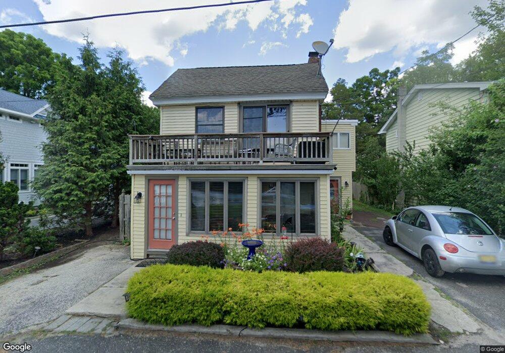
1055 River Rd Egg Harbor City, NJ 08215
Estimated Value: $417,363 - $460,000
--
Bed
--
Bath
1,515
Sq Ft
$292/Sq Ft
Est. Value
About This Home
This home is located at 1055 River Rd, Egg Harbor City, NJ 08215 and is currently estimated at $442,841, approximately $292 per square foot. 1055 River Rd is a home located in Burlington County.
Ownership History
Date
Name
Owned For
Owner Type
Purchase Details
Closed on
Nov 26, 2001
Sold by
Dunphey Susan
Bought by
Blank Robert and Blank Darlene L
Current Estimated Value
Purchase Details
Closed on
May 8, 1998
Sold by
Mccauley Donald E
Bought by
Dunphey Susan
Home Financials for this Owner
Home Financials are based on the most recent Mortgage that was taken out on this home.
Original Mortgage
$121,600
Interest Rate
7.03%
Create a Home Valuation Report for This Property
The Home Valuation Report is an in-depth analysis detailing your home's value as well as a comparison with similar homes in the area
Home Values in the Area
Average Home Value in this Area
Purchase History
| Date | Buyer | Sale Price | Title Company |
|---|---|---|---|
| Blank Robert | $180,000 | Title Co Of Jersey | |
| Dunphey Susan | $152,000 | The Title Company |
Source: Public Records
Mortgage History
| Date | Status | Borrower | Loan Amount |
|---|---|---|---|
| Previous Owner | Dunphey Susan | $121,600 |
Source: Public Records
Tax History Compared to Growth
Tax History
| Year | Tax Paid | Tax Assessment Tax Assessment Total Assessment is a certain percentage of the fair market value that is determined by local assessors to be the total taxable value of land and additions on the property. | Land | Improvement |
|---|---|---|---|---|
| 2025 | $5,741 | $274,800 | $153,600 | $121,200 |
| 2024 | $4,567 | $274,800 | $153,600 | $121,200 |
| 2023 | $4,567 | $274,800 | $153,600 | $121,200 |
| 2022 | $3,515 | $274,800 | $153,600 | $121,200 |
| 2021 | $3,561 | $274,800 | $153,600 | $121,200 |
| 2020 | $3,495 | $274,800 | $153,600 | $121,200 |
| 2019 | $3,438 | $274,800 | $153,600 | $121,200 |
| 2018 | $4,037 | $274,800 | $153,600 | $121,200 |
| 2017 | $4,614 | $274,800 | $153,600 | $121,200 |
| 2016 | $4,779 | $274,800 | $153,600 | $121,200 |
| 2015 | $4,529 | $274,800 | $153,600 | $121,200 |
| 2014 | $4,147 | $274,800 | $153,600 | $121,200 |
Source: Public Records
Map
Nearby Homes
- 1424 Route 542
- 13 Charles Ave
- 2640 7th Ave
- 13 Henderson Ave
- 4832 Pleasant Mills Rd
- 4823 Pleasant Mills Rd
- 2668 Camp Swiss Ave
- 124 5th Ave
- 0 Philadelphia Ave
- 4528 Indian Cabin Terrace
- 2150 8th Ave
- 4119 Nesco Rd
- 5708 Moss Mill Rd
- 8 Cardinal Dr
- 6 Fawn Ln
- 7 Fawn Dr
- 31 Mullica Way
- 35 Mullica Way
- 798 W Indian Cabin Rd
- 1868 Route 542