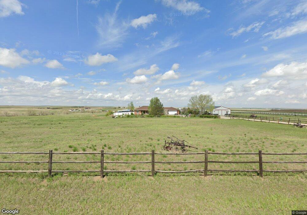
1055 S Almstead Rd Watkins, CO 80137
Estimated Value: $779,000 - $924,000
3
Beds
5
Baths
1,876
Sq Ft
$458/Sq Ft
Est. Value
About This Home
This home is located at 1055 S Almstead Rd, Watkins, CO 80137 and is currently estimated at $860,003, approximately $458 per square foot. 1055 S Almstead Rd is a home located in Arapahoe County with nearby schools including Bennett Elementary School, Bennett Middle School, and Bennett High School.
Ownership History
Date
Name
Owned For
Owner Type
Purchase Details
Closed on
Aug 1, 2003
Sold by
Laurienti Patrick J and Laurienti Mary R
Bought by
Roths Raymond D and Roths Judith A
Current Estimated Value
Home Financials for this Owner
Home Financials are based on the most recent Mortgage that was taken out on this home.
Original Mortgage
$224,000
Outstanding Balance
$95,547
Interest Rate
5.19%
Mortgage Type
Purchase Money Mortgage
Estimated Equity
$764,456
Purchase Details
Closed on
Apr 19, 1999
Sold by
Laurienti Patrick J and Laurienti Theresa L
Bought by
Laurienti Patrick J and Laurienti Mary R
Purchase Details
Closed on
May 2, 1995
Sold by
Laurienti Patrick J and Laurienti Mary R
Bought by
Laurienti Patrick J and Laurienti Mary R
Create a Home Valuation Report for This Property
The Home Valuation Report is an in-depth analysis detailing your home's value as well as a comparison with similar homes in the area
Home Values in the Area
Average Home Value in this Area
Purchase History
| Date | Buyer | Sale Price | Title Company |
|---|---|---|---|
| Roths Raymond D | $320,000 | Land Title | |
| Laurienti Patrick J | -- | -- | |
| Laurienti Patrick J | -- | -- | |
| Laurienti Patrick J | -- | -- |
Source: Public Records
Mortgage History
| Date | Status | Borrower | Loan Amount |
|---|---|---|---|
| Open | Roths Raymond D | $224,000 |
Source: Public Records
Tax History Compared to Growth
Tax History
| Year | Tax Paid | Tax Assessment Tax Assessment Total Assessment is a certain percentage of the fair market value that is determined by local assessors to be the total taxable value of land and additions on the property. | Land | Improvement |
|---|---|---|---|---|
| 2024 | $2,934 | $53,902 | -- | -- |
| 2023 | $2,934 | $53,902 | $0 | $0 |
| 2022 | $2,250 | $42,680 | $0 | $0 |
| 2021 | $2,248 | $42,680 | $0 | $0 |
| 2020 | $2,553 | $49,442 | $0 | $0 |
| 2019 | $3,086 | $49,442 | $0 | $0 |
| 2018 | $2,037 | $28,584 | $0 | $0 |
| 2017 | $2,017 | $28,584 | $0 | $0 |
| 2016 | $1,893 | $27,749 | $0 | $0 |
| 2015 | $1,877 | $27,749 | $0 | $0 |
| 2014 | -- | $22,359 | $0 | $0 |
| 2013 | -- | $21,660 | $0 | $0 |
Source: Public Records
Map
Nearby Homes
- 35055 E Mississippi Ave
- 1335 S Kio St
- 1970 Imboden Rd
- 34827 E 7th Ave
- 100 S Manila Rd
- 0 Tbd East 12 Place
- 1950 Cavanaugh Rd
- 1614 N Manila Rd
- 2950 Eclectic Ct
- 1150 S County Road 121
- 0 1979-00-0-00-163 Unit 5 REC4553121
- 28820 E 6th Place
- 28820 6th Place
- 28778 E 6th Place
- 28778 6th Place
- 28708 E 6th Place
- 28695 E 6th Place
- Pinnacle Plan at Sky Ranch - Pioneer Collection
- Elbert Plan at Sky Ranch - Pioneer Collection
- Evans Plan at Sky Ranch - Pioneer Collection
- 1035 S Almstead Rd
- 975 S Almstead Rd
- 35878 E Mississippi Ave
- 0 S Almstead Rd
- 757 S Almstead Rd
- 1295 S Quail Run Rd
- 1140 S Kio St
- 1323 S Quail Run Rd
- 667 S Almstead Rd
- 1090 S Quail Run Rd
- 1090 S Quail Run Rd
- 1229 S Kio St
- 34553 E Mississippi Ave
- 900 S Imboden Rd
- 900 S Imboden Rd
- 1476 S Kio St
- 34600 E Mississippi Ave
- 34600 E Mississippi Ave
- 34910 E Alameda Ave
- 969 S Bonnie Ln