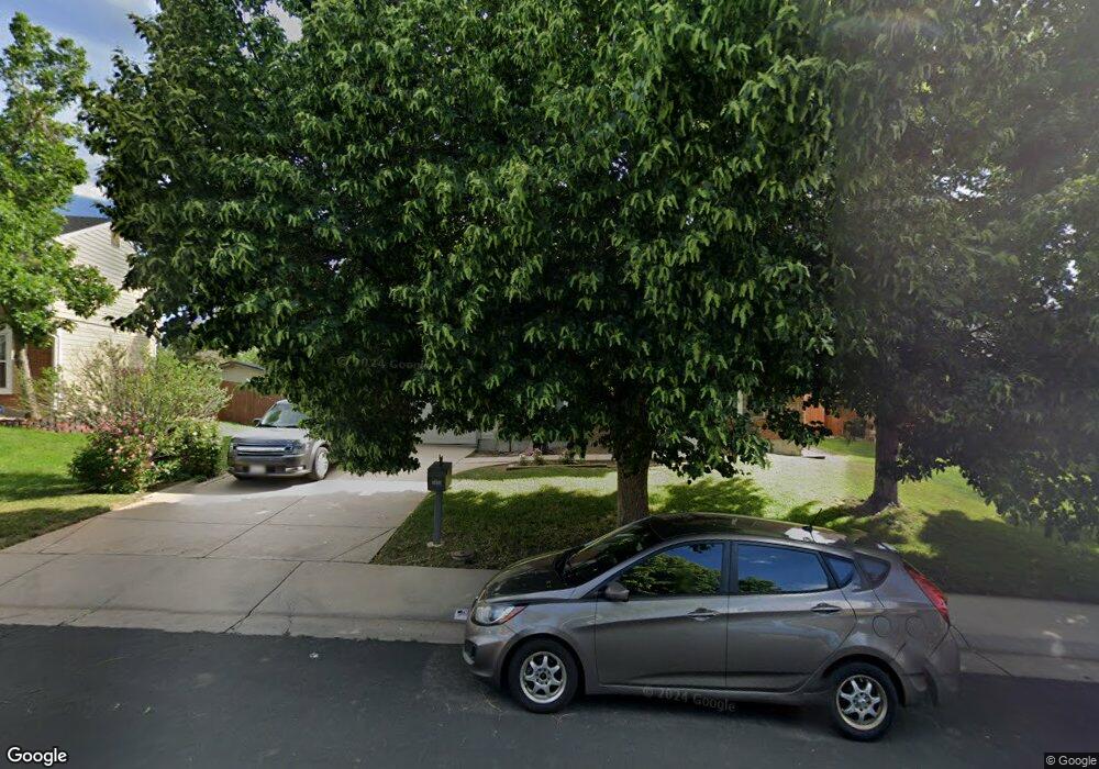
1055 S Lewiston Way Aurora, CO 80017
Centre Pointe NeighborhoodEstimated Value: $480,818 - $492,000
3
Beds
3
Baths
1,740
Sq Ft
$280/Sq Ft
Est. Value
About This Home
This home is located at 1055 S Lewiston Way, Aurora, CO 80017 and is currently estimated at $486,955, approximately $279 per square foot. 1055 S Lewiston Way is a home located in Arapahoe County with nearby schools including Tollgate Elementary School of Expeditionary Learning, Mrachek Middle School, and Gateway High School.
Ownership History
Date
Name
Owned For
Owner Type
Purchase Details
Closed on
Apr 25, 1997
Sold by
Louise Mcleod Thomas Myers and Louise Carol
Bought by
Welsh Robert A and Welsh Valerie A
Current Estimated Value
Home Financials for this Owner
Home Financials are based on the most recent Mortgage that was taken out on this home.
Original Mortgage
$133,224
Outstanding Balance
$18,121
Interest Rate
7.92%
Mortgage Type
FHA
Estimated Equity
$468,834
Purchase Details
Closed on
Dec 1, 1984
Sold by
Conversion Arapco
Bought by
Conversion Arapco
Purchase Details
Closed on
Jun 1, 1981
Sold by
Conversion Arapco
Bought by
Conversion Arapco
Purchase Details
Closed on
Jul 4, 1776
Bought by
Conversion Arapco
Create a Home Valuation Report for This Property
The Home Valuation Report is an in-depth analysis detailing your home's value as well as a comparison with similar homes in the area
Home Values in the Area
Average Home Value in this Area
Purchase History
| Date | Buyer | Sale Price | Title Company |
|---|---|---|---|
| Welsh Robert A | $135,000 | Heritage Title | |
| Conversion Arapco | -- | -- | |
| Conversion Arapco | -- | -- | |
| Conversion Arapco | -- | -- |
Source: Public Records
Mortgage History
| Date | Status | Borrower | Loan Amount |
|---|---|---|---|
| Open | Welsh Robert A | $133,224 |
Source: Public Records
Tax History Compared to Growth
Tax History
| Year | Tax Paid | Tax Assessment Tax Assessment Total Assessment is a certain percentage of the fair market value that is determined by local assessors to be the total taxable value of land and additions on the property. | Land | Improvement |
|---|---|---|---|---|
| 2024 | $2,784 | $29,956 | -- | -- |
| 2023 | $2,784 | $29,956 | $0 | $0 |
| 2022 | $2,502 | $24,915 | $0 | $0 |
| 2021 | $2,583 | $24,915 | $0 | $0 |
| 2020 | $2,398 | $23,031 | $0 | $0 |
| 2019 | $2,385 | $23,031 | $0 | $0 |
| 2018 | $2,111 | $19,966 | $0 | $0 |
| 2017 | $1,837 | $19,966 | $0 | $0 |
| 2016 | $1,675 | $17,831 | $0 | $0 |
| 2015 | $1,617 | $17,831 | $0 | $0 |
| 2014 | $1,070 | $11,359 | $0 | $0 |
| 2013 | -- | $11,610 | $0 | $0 |
Source: Public Records
Map
Nearby Homes
- 1140 S Kittredge St
- 1024 S Mobile St
- 16405 E Kentucky Ave
- 16233 E Louisiana Place
- 1305 S Laredo Ct
- 16506 E Arizona Dr
- 16651 E Arizona Place
- 16325 E Alabama Dr
- 1262 S Olathe Way
- 15810 E Arkansas Dr
- 1409 S Joplin St
- 16673 E Louisiana Dr
- 16094 E Exposition Dr
- 16136 E Exposition Dr
- 16634 E Louisiana Dr
- 16135 E Exposition Dr
- 16555 E Arkansas Ave
- 1350 S Idalia St Unit G
- 17034 E Tennessee Dr Unit 105
- 611 S Laredo Cir
- 1049 S Lewiston Way
- 1059 S Lewiston Way
- 1045 S Lewiston Way
- 1065 S Lewiston Way
- 1069 S Lewiston Way
- 1046 S Lewiston Way
- 1091 S Kittredge Way
- 1092 S Kittredge Way
- 1071 S Memphis St
- 1035 S Lewiston Way
- 1075 S Lewiston Way
- 1040 S Lewiston Way
- 1061 S Memphis St
- 1036 S Lewiston Way
- 1029 S Lewiston Way
- 1082 S Memphis St
- 1079 S Lewiston Way
- 1082 S Kittredge Way
- 1051 S Memphis St
- 1072 S Memphis St