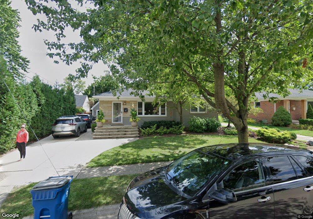
1055 Simpson St Plymouth, MI 48170
Estimated Value: $349,000 - $452,000
3
Beds
1
Bath
1,160
Sq Ft
$351/Sq Ft
Est. Value
About This Home
This home is located at 1055 Simpson St, Plymouth, MI 48170 and is currently estimated at $406,777, approximately $350 per square foot. 1055 Simpson St is a home located in Wayne County with nearby schools including Canton High School, Smith Elementary School, and West Middle School.
Ownership History
Date
Name
Owned For
Owner Type
Purchase Details
Closed on
Jul 17, 2013
Sold by
Ditmar Michael and Ditmar Elizabeth
Bought by
Ditmar Michael S and Ditmar Elizabeth A
Current Estimated Value
Home Financials for this Owner
Home Financials are based on the most recent Mortgage that was taken out on this home.
Original Mortgage
$203,000
Outstanding Balance
$48,242
Interest Rate
4.02%
Mortgage Type
New Conventional
Estimated Equity
$358,535
Purchase Details
Closed on
Sep 1, 2005
Sold by
Jordan Donald E
Bought by
Ditmar Michael and Pursley Elizabeth
Purchase Details
Closed on
Jul 19, 2000
Sold by
Jordan Eugene L and Jordan Maxine C
Bought by
Jordan Family Revocable Living Trust
Create a Home Valuation Report for This Property
The Home Valuation Report is an in-depth analysis detailing your home's value as well as a comparison with similar homes in the area
Home Values in the Area
Average Home Value in this Area
Purchase History
| Date | Buyer | Sale Price | Title Company |
|---|---|---|---|
| Ditmar Michael S | -- | Bbc Title Agency Llc | |
| Ditmar Michael | $220,000 | First American Title Ins Co | |
| Jordan Family Revocable Living Trust | -- | First American Title Ins Co |
Source: Public Records
Mortgage History
| Date | Status | Borrower | Loan Amount |
|---|---|---|---|
| Open | Ditmar Michael S | $203,000 |
Source: Public Records
Tax History Compared to Growth
Tax History
| Year | Tax Paid | Tax Assessment Tax Assessment Total Assessment is a certain percentage of the fair market value that is determined by local assessors to be the total taxable value of land and additions on the property. | Land | Improvement |
|---|---|---|---|---|
| 2025 | $4,874 | $216,400 | $0 | $0 |
| 2024 | $4,874 | $199,400 | $0 | $0 |
| 2023 | $4,728 | $178,800 | $0 | $0 |
| 2022 | $5,012 | $166,600 | $0 | $0 |
| 2021 | $4,857 | $165,300 | $0 | $0 |
| 2020 | $4,844 | $156,500 | $0 | $0 |
| 2019 | $4,265 | $152,400 | $0 | $0 |
| 2018 | $4,142 | $153,000 | $0 | $0 |
| 2017 | $878 | $153,700 | $0 | $0 |
| 2016 | $4,232 | $143,800 | $0 | $0 |
| 2015 | $9,693 | $117,010 | $0 | $0 |
| 2013 | $9,390 | $97,420 | $0 | $0 |
| 2011 | -- | $90,060 | $0 | $0 |
Source: Public Records
Map
Nearby Homes
- 1338 S Harvey St
- 1078 Simpson St
- 844 Ross St
- 1125 Sutherland St
- 9405 Northern Ave
- 1199 S Sheldon Rd
- 9453 Brookline Ave
- 9264 Brookline Ave
- 775 Deer Ct Unit 104
- 770 Deer St Unit 204
- 9205 Rocker Ave
- 44571 Clare Blvd
- 638 S Harvey St
- 44736 Lynn Dr
- 44703 Erin Dr
- 44750 Erin Dr Unit 40
- 9060 N Sheldon Rd
- 44872 Lynn Dr
- 44877 Erin Dr Unit 2
- 8845 Oakview St
- 1079 Simpson St
- 1312 S Harvey St
- 1364 S Harvey St
- 1099 Simpson St
- 1386 S Harvey St
- 1294 S Harvey St
- 1056 Simpson St
- 1121 Simpson St
- 1282 S Harvey St
- 1098 Simpson St
- 1143 Simpson St
- 1337 S Harvey St
- 1311 S Harvey St
- 1122 Simpson St
- 1258 S Harvey St
- 1293 S Harvey St
- 1273 S Harvey St
- 1146 Simpson St
- 1167 Simpson St
- 1027 Ross St