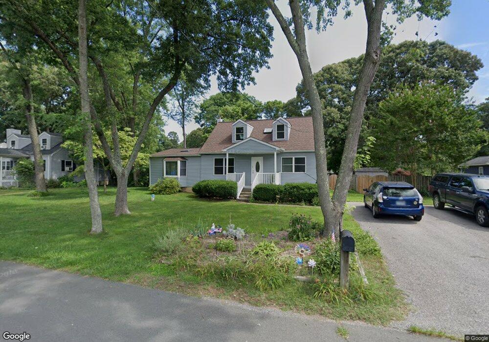
1055 Tudor Dr Crownsville, MD 21032
Arden on the Severn NeighborhoodEstimated Value: $488,017 - $547,000
5
Beds
3
Baths
1,524
Sq Ft
$348/Sq Ft
Est. Value
About This Home
This home is located at 1055 Tudor Dr, Crownsville, MD 21032 and is currently estimated at $530,754, approximately $348 per square foot. 1055 Tudor Dr is a home located in Anne Arundel County with nearby schools including Millersville Elementary School, Old Mill High School, and Rockbridge Academy.
Ownership History
Date
Name
Owned For
Owner Type
Purchase Details
Closed on
Oct 25, 2011
Sold by
Reed W David W and Reed Shirley R
Bought by
Philpott Elizabeth C
Current Estimated Value
Home Financials for this Owner
Home Financials are based on the most recent Mortgage that was taken out on this home.
Original Mortgage
$120,000
Outstanding Balance
$81,489
Interest Rate
4.01%
Mortgage Type
New Conventional
Estimated Equity
$449,265
Purchase Details
Closed on
Mar 23, 2001
Sold by
Reed W David
Bought by
Reed W David W and Reed Shirley R
Create a Home Valuation Report for This Property
The Home Valuation Report is an in-depth analysis detailing your home's value as well as a comparison with similar homes in the area
Home Values in the Area
Average Home Value in this Area
Purchase History
| Date | Buyer | Sale Price | Title Company |
|---|---|---|---|
| Philpott Elizabeth C | $360,000 | Southern Maryland Title | |
| Reed W David W | -- | -- |
Source: Public Records
Mortgage History
| Date | Status | Borrower | Loan Amount |
|---|---|---|---|
| Open | Philpott Elizabeth C | $120,000 |
Source: Public Records
Tax History Compared to Growth
Tax History
| Year | Tax Paid | Tax Assessment Tax Assessment Total Assessment is a certain percentage of the fair market value that is determined by local assessors to be the total taxable value of land and additions on the property. | Land | Improvement |
|---|---|---|---|---|
| 2025 | $4,377 | $383,500 | $231,700 | $151,800 |
| 2024 | $4,377 | $372,967 | $0 | $0 |
| 2023 | $4,259 | $362,433 | $0 | $0 |
| 2022 | $3,983 | $351,900 | $231,700 | $120,200 |
| 2021 | $3,798 | $340,700 | $0 | $0 |
| 2020 | $3,798 | $329,500 | $0 | $0 |
| 2019 | $3,730 | $318,300 | $201,700 | $116,600 |
| 2018 | $3,185 | $314,100 | $0 | $0 |
| 2017 | $3,518 | $309,900 | $0 | $0 |
| 2016 | -- | $305,700 | $0 | $0 |
| 2015 | -- | $296,433 | $0 | $0 |
| 2014 | -- | $287,167 | $0 | $0 |
Source: Public Records
Map
Nearby Homes
- 717 Whitneys Landing Dr
- 738 Whitneys Landing Dr
- 626 Evergreen Rd
- 1037 Dockser Dr
- 680 Shore Rd
- 1158 Blue Bird Ln
- 596 West Dr
- 610 Echo Cove Dr
- 1003 Omar Dr
- 518 Lakeland Rd S
- 1304 North Rd
- 600 Hidden Pond Ln
- 1001 Omar Dr
- 1013 Plum Creek Dr
- 439A Lakeland Rd N
- 513 Old Pasture Ln
- 621 Kensington Ave
- 983 Wayside Dr
- 1013 Waterbury Heights Dr
- 366 Walnut Trail