10550 179th Ave SW Rochester, WA 98579
Estimated Value: $373,000 - $503,506
1
Bed
2
Baths
864
Sq Ft
$516/Sq Ft
Est. Value
About This Home
This home is located at 10550 179th Ave SW, Rochester, WA 98579 and is currently estimated at $446,169, approximately $516 per square foot. 10550 179th Ave SW is a home located in Thurston County with nearby schools including Rochester Primary School, Grand Mound Elementary School, and Rochester Middle School.
Ownership History
Date
Name
Owned For
Owner Type
Purchase Details
Closed on
Aug 25, 2003
Sold by
Gonzales John M and Gonzales Rebecca J
Bought by
Smith Randolf
Current Estimated Value
Home Financials for this Owner
Home Financials are based on the most recent Mortgage that was taken out on this home.
Original Mortgage
$125,375
Outstanding Balance
$53,649
Interest Rate
5.12%
Mortgage Type
Negative Amortization
Estimated Equity
$392,520
Create a Home Valuation Report for This Property
The Home Valuation Report is an in-depth analysis detailing your home's value as well as a comparison with similar homes in the area
Home Values in the Area
Average Home Value in this Area
Purchase History
| Date | Buyer | Sale Price | Title Company |
|---|---|---|---|
| Smith Randolf | -- | Chicago Title Co |
Source: Public Records
Mortgage History
| Date | Status | Borrower | Loan Amount |
|---|---|---|---|
| Open | Smith Randolf | $125,375 |
Source: Public Records
Tax History Compared to Growth
Tax History
| Year | Tax Paid | Tax Assessment Tax Assessment Total Assessment is a certain percentage of the fair market value that is determined by local assessors to be the total taxable value of land and additions on the property. | Land | Improvement |
|---|---|---|---|---|
| 2024 | $3,093 | $389,900 | $196,300 | $193,600 |
| 2023 | $3,093 | $355,700 | $159,300 | $196,400 |
| 2022 | $2,882 | $331,300 | $122,300 | $209,000 |
| 2021 | $2,753 | $279,000 | $124,100 | $154,900 |
| 2020 | $3,017 | $245,200 | $96,700 | $148,500 |
| 2019 | $2,506 | $224,200 | $79,100 | $145,100 |
| 2018 | $2,776 | $193,400 | $68,600 | $124,800 |
| 2017 | $2,605 | $183,300 | $70,900 | $112,400 |
| 2016 | $2,496 | $177,050 | $73,550 | $103,500 |
| 2014 | -- | $172,200 | $67,600 | $104,600 |
Source: Public Records
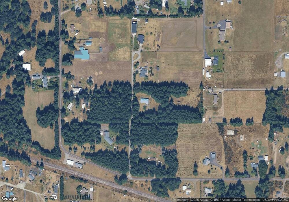
Map
Nearby Homes
- 17710 Albany St SW
- 17930 Albany St SW Unit 57
- 19230 Albany St SW
- 18125 Albany St SW
- 17930 Littlerock Rd SW
- 9538 184th Ave SW
- 17731 Jordan St SW
- 10239 185th Ave SW Unit 45
- 18024 Jordan St SW
- 17927 Daryl Ln SW
- 17237 Weaver Ln SW
- 9441 180th Way SW
- 12624 183rd Ave SW
- 12630 183rd Ave SW
- 18525 Paulson St SW
- 9523 184th Ave SW
- 18602 Paulson St SW
- 9237 Applegate Loop SW
- 9015 183rd Ave SW
- 18549 Roseburg St SW
- 10548 179th Ave SW
- 17800 Unicorn St SW
- 10546 179th Ave SW
- 17636 Unicorn St SW
- 17702 Wheat St SW
- 10510 179th Ave SW
- 10511 179th Ave SW
- 10326 179th Ave SW
- 17723 Albany St SW
- 10439 176th Ave SW
- 17911 Bonnie Ln SW
- 10544 School Land Rd SW
- 10545 176th Ave SW
- 10531 176th Ave SW
- 17622 Wheat St SW
- 17624 Unicorn St SW
- 10548 School Land Rd SW
- 10415 179th Ave SW
- 17719 Unicorn St SW
- 17912 Michelles Ln SW