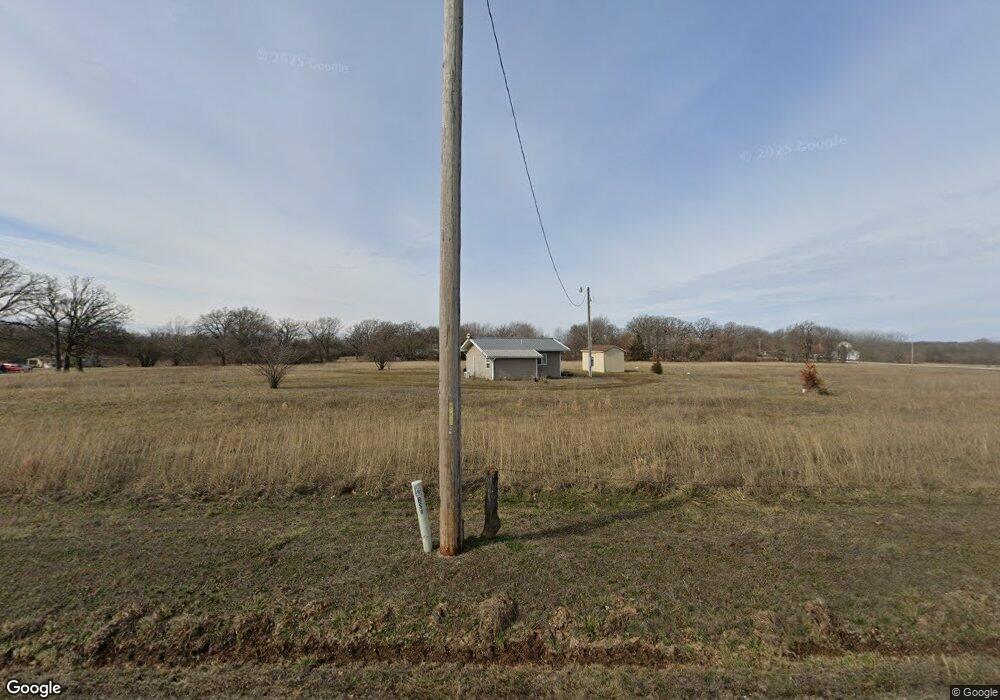
10550 Buck Rd Carthage, MO 64836
Estimated Value: $146,000 - $209,000
--
Bed
--
Bath
--
Sq Ft
9.75
Acres
About This Home
This home is located at 10550 Buck Rd, Carthage, MO 64836 and is currently estimated at $178,841. 10550 Buck Rd is a home with nearby schools including Carthage High School.
Ownership History
Date
Name
Owned For
Owner Type
Purchase Details
Closed on
May 15, 2018
Sold by
Pendergraft James I and Pendergraft Betsy J
Bought by
James I Pendergraft Ret
Current Estimated Value
Purchase Details
Closed on
Nov 19, 2007
Sold by
Mccluey Michael C and Mccluey Melinda K
Bought by
Pendergraft James Ivan and Pendergraft Betsy Jo
Purchase Details
Closed on
Jun 12, 2007
Sold by
Jones Steve L and Jones Kelly L
Bought by
Mccluey Michael C and Mccluey Melinda K
Purchase Details
Closed on
Aug 10, 2005
Sold by
Fanning Richard P
Bought by
Jones Steve and Jones Kelly
Home Financials for this Owner
Home Financials are based on the most recent Mortgage that was taken out on this home.
Original Mortgage
$25,000
Interest Rate
5.51%
Mortgage Type
Unknown
Create a Home Valuation Report for This Property
The Home Valuation Report is an in-depth analysis detailing your home's value as well as a comparison with similar homes in the area
Home Values in the Area
Average Home Value in this Area
Purchase History
| Date | Buyer | Sale Price | Title Company |
|---|---|---|---|
| James I Pendergraft Ret | -- | -- | |
| Pendergraft James Ivan | -- | Fatco | |
| Mccluey Michael C | -- | Fatco | |
| Jones Steve | -- | -- |
Source: Public Records
Mortgage History
| Date | Status | Borrower | Loan Amount |
|---|---|---|---|
| Previous Owner | Jones Steve | $25,000 |
Source: Public Records
Tax History Compared to Growth
Tax History
| Year | Tax Paid | Tax Assessment Tax Assessment Total Assessment is a certain percentage of the fair market value that is determined by local assessors to be the total taxable value of land and additions on the property. | Land | Improvement |
|---|---|---|---|---|
| 2024 | $318 | $6,840 | $2,010 | $4,830 |
| 2023 | $318 | $6,840 | $2,010 | $4,830 |
| 2022 | $325 | $7,030 | $2,010 | $5,020 |
| 2021 | $322 | $7,030 | $2,010 | $5,020 |
| 2020 | $289 | $6,080 | $2,010 | $4,070 |
| 2019 | $290 | $6,080 | $2,010 | $4,070 |
| 2018 | $351 | $7,350 | $0 | $0 |
| 2017 | $197 | $4,120 | $0 | $0 |
| 2016 | $208 | $4,370 | $0 | $0 |
| 2015 | $208 | $4,370 | $0 | $0 |
| 2014 | $208 | $4,340 | $0 | $0 |
Source: Public Records
Map
Nearby Homes
- 1631 County Road 120
- 12078 Cedar Rd
- 10640 Durango Ln
- Tract 1 Daisy Rd & Cty Rd 110
- 1519 County Road 130
- 11884 Destination Ln
- 3951 County Lane 119
- 612 County Road 130
- 7614 Apple Rd
- 7229 Apple Rd
- 2632 Quail Rd
- 1125 County Road 70
- TBD 7 04 Acres Cimarron Rd
- 2199 Skylark Dr
- 0 Aspen Rd
- Tbd Aspen Rd
- 6206 Elm Rd
- 975 W 60th St
- 001 Quail Rd
- TBD Quail Rd
- 10520 Buck Rd
- 1666 County Lane 105
- 1665 County Lane 105
- 1731 County Lane 105
- 1600 County Lane 105
- 10821 Blackberry Rd
- 10890 Blackberry Rd
- 1757 County Lane 103
- 1753 County Lane 103
- 10881 Blackberry Rd
- 1756 County Lane 103
- 1510 County Road 110
- 10697 Cimarron Rd
- 10995 Blackberry Rd
- 10017 Blackberry Rd
- 1697 County Road 110
- 11015 Brass Ln
- 1511 County Road 110
- 1180 County Road 110
- 1180 County Road 110 Unit 1