10550 Highway 334 Nicholson, GA 30565
Estimated Value: $349,000 - $410,757
--
Bed
3
Baths
2,127
Sq Ft
$175/Sq Ft
Est. Value
About This Home
This home is located at 10550 Highway 334, Nicholson, GA 30565 and is currently estimated at $373,252, approximately $175 per square foot. 10550 Highway 334 is a home located in Jackson County with nearby schools including East Jackson Middle School and East Jackson Comprehensive High School.
Ownership History
Date
Name
Owned For
Owner Type
Purchase Details
Closed on
Aug 2, 2013
Sold by
Al-Deen Beverly F
Bought by
Adams Gerald Brent
Current Estimated Value
Purchase Details
Closed on
Apr 14, 2006
Sold by
Not Provided
Bought by
Al Deen Beverly F
Purchase Details
Closed on
Oct 31, 1983
Sold by
Adams Jerry
Bought by
Adams Beverly F
Purchase Details
Closed on
Mar 21, 1968
Sold by
Adams Beverly F
Bought by
Adams Jerry
Create a Home Valuation Report for This Property
The Home Valuation Report is an in-depth analysis detailing your home's value as well as a comparison with similar homes in the area
Home Values in the Area
Average Home Value in this Area
Purchase History
| Date | Buyer | Sale Price | Title Company |
|---|---|---|---|
| Adams Gerald Brent | -- | -- | |
| Al Deen Beverly F | -- | -- | |
| Adams Beverly F | -- | -- | |
| Adams Jerry | -- | -- |
Source: Public Records
Tax History Compared to Growth
Tax History
| Year | Tax Paid | Tax Assessment Tax Assessment Total Assessment is a certain percentage of the fair market value that is determined by local assessors to be the total taxable value of land and additions on the property. | Land | Improvement |
|---|---|---|---|---|
| 2024 | $1,935 | $113,360 | $53,280 | $60,080 |
| 2023 | $1,935 | $105,320 | $52,520 | $52,800 |
| 2022 | $1,406 | $78,000 | $36,040 | $41,960 |
| 2021 | $1,389 | $78,000 | $36,040 | $41,960 |
| 2020 | $1,239 | $69,120 | $36,040 | $33,080 |
| 2019 | $1,255 | $69,120 | $36,040 | $33,080 |
| 2018 | $1,719 | $54,760 | $22,920 | $31,840 |
| 2017 | $1,584 | $50,192 | $20,182 | $30,010 |
| 2016 | $1,592 | $50,192 | $20,182 | $30,010 |
| 2015 | $1,527 | $47,983 | $20,182 | $27,800 |
| 2014 | $1,534 | $48,615 | $20,182 | $28,433 |
| 2013 | -- | $93,525 | $65,092 | $28,432 |
Source: Public Records
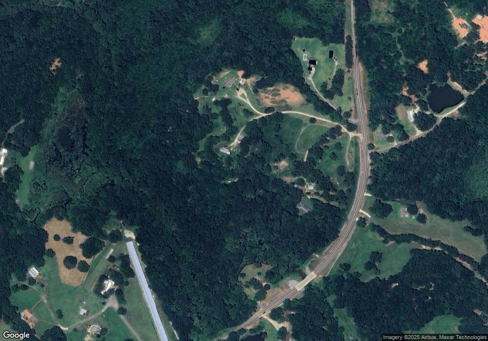
Map
Nearby Homes
- 1718 Ed Bennett Rd
- 130 Levi Trail
- 140 Levi Trail
- 0 Nowhere Ln Unit 10544151
- 97 Abby Ln
- 425 Bob Holman Rd
- 10 Red Rose Rd
- 322 Cedar Tree Ln
- 0 US Hwy 441 S Unit 20890220
- 310 Sawdust Rd
- 4419 New Kings Bridge Rd
- 2850 Commerce Rd
- 170 Rocky Dr
- 7 Red Rose Rd
- 9 Red Rose Rd
- 719 Old Athens Dr
- 1771 Leon Ellis Rd
- 2345 Seagraves Mill Rd
- 520 Old Athens Dr
- 145 Noketchee Dr
- 0 Shady Hollow Trail Unit 7128194
- 0 Shady Hollow Trail Unit 5305476
- 0 Shady Hollow Trail
- 10447 Highway 334
- 41 Shady Hollow Trail
- 10358 Highway 334
- 10479 Highway 334
- 10468 Georgia 334
- 10468 Highway 334
- 10477 Georgia 334
- 10477 Highway 334
- 110 Adams Hill Rd
- 10647 Highway 334
- 10647 Georgia 334
- 371 Adams Hill Rd
- 242 Shady Hollow Trail
- 399 Asgard Farm Rd
- 0 Asgard Farm Rd Unit 7564520
- 0 Asgard Farm Rd Unit 947588
- 0 Asgard Farm Rd Unit 7518935