10550 Mountainview Dr Dexter, MI 48130
Estimated Value: $496,079 - $577,000
3
Beds
2
Baths
2,216
Sq Ft
$249/Sq Ft
Est. Value
About This Home
This home is located at 10550 Mountainview Dr, Dexter, MI 48130 and is currently estimated at $551,520, approximately $248 per square foot. 10550 Mountainview Dr is a home located in Washtenaw County with nearby schools including Bates Elementary School, Creekside Intermediate School, and Anchor Elementary School.
Ownership History
Date
Name
Owned For
Owner Type
Purchase Details
Closed on
Jun 10, 1996
Sold by
Knight Jason E
Bought by
Brown Noel T and Brown Melissa L
Current Estimated Value
Purchase Details
Closed on
Jan 3, 1996
Sold by
Brown Noel T
Bought by
Mainville Brian and Burns Candice
Home Financials for this Owner
Home Financials are based on the most recent Mortgage that was taken out on this home.
Original Mortgage
$140,000
Interest Rate
7.41%
Create a Home Valuation Report for This Property
The Home Valuation Report is an in-depth analysis detailing your home's value as well as a comparison with similar homes in the area
Home Values in the Area
Average Home Value in this Area
Purchase History
| Date | Buyer | Sale Price | Title Company |
|---|---|---|---|
| Brown Noel T | -- | -- | |
| Mainville Brian | $205,000 | -- |
Source: Public Records
Mortgage History
| Date | Status | Borrower | Loan Amount |
|---|---|---|---|
| Previous Owner | Mainville Brian | $140,000 |
Source: Public Records
Tax History
| Year | Tax Paid | Tax Assessment Tax Assessment Total Assessment is a certain percentage of the fair market value that is determined by local assessors to be the total taxable value of land and additions on the property. | Land | Improvement |
|---|---|---|---|---|
| 2025 | $1,590 | $222,300 | $0 | $0 |
| 2024 | $1,544 | $204,900 | $0 | $0 |
| 2023 | $1,471 | $199,900 | $0 | $0 |
| 2022 | $5,068 | $175,800 | $0 | $0 |
| 2021 | $4,862 | $178,800 | $0 | $0 |
| 2020 | $4,789 | $174,600 | $0 | $0 |
| 2019 | $4,667 | $165,800 | $165,800 | $0 |
| 2018 | $4,602 | $164,300 | $23,500 | $140,800 |
| 2017 | $4,414 | $164,300 | $0 | $0 |
| 2016 | $1,265 | $119,007 | $0 | $0 |
| 2015 | -- | $118,652 | $0 | $0 |
| 2014 | -- | $114,945 | $0 | $0 |
| 2013 | -- | $114,945 | $0 | $0 |
Source: Public Records
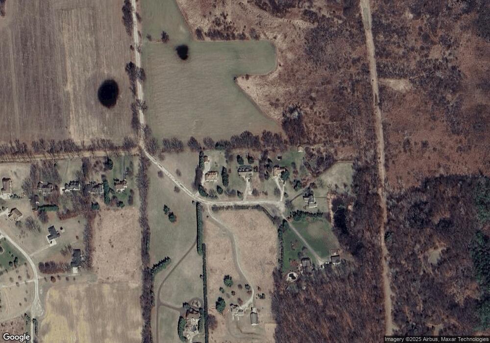
Map
Nearby Homes
- 5876 Tyler Ct
- 5862 Tyler Ct
- 10962 Margaret Etta
- 11490 Castleton Ct
- 11610 Hillside Dr
- 6441 Huron Creek Ct
- 6450 Earl June Ct
- 6470 Earl June Ct
- 11655 Hillside Dr
- 6525 Earl June Ct
- 4975 Westwind Dr
- 11760 Hillside Dr
- 11780 Hillside Dr
- 8044 Dexter-Pinckney Rd
- 8836 Dexter Townhall Rd
- 12385 Island Lake Rd
- 9098 Dexter-Pinckney Rd
- 13240 Redmonds Hill Ct Unit 26
- 10146 Island Lake Rd
- 8980 Dexter Pinckney Rd
- 10610 Mountainview Dr
- 10502 Mountainview Dr
- 10447 Mountainview Dr
- 10485 Mountain View
- 10729 Quigley Rd
- 10485 Mountainview Dr
- 10571 Mountainview Dr
- 10755 Quigley Rd
- 10649 Mountainview Dr
- 10649 Mountainview Dr
- 10781 Quigley Rd
- 5862 Ray Knight Dr
- 5894 Ray Knight Dr
- 10807 Quigley Rd
- 5938 Ray Knight Dr
- 5976 Ray Knight Dr
- 0 Ray Knight Dr
- 6230 Brand Rd
- 5909 Ray Knight Dr
- 5857 Ray Knight Dr
Your Personal Tour Guide
Ask me questions while you tour the home.