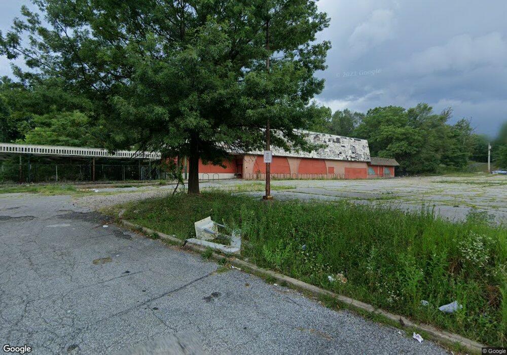
10550 Reisterstown Rd Owings Mills, MD 21117
Estimated Value: $1,849,717
--
Bed
--
Bath
130,270
Sq Ft
$14/Sq Ft
Est. Value
About This Home
This home is located at 10550 Reisterstown Rd, Owings Mills, MD 21117 and is currently estimated at $1,849,717, approximately $14 per square foot. 10550 Reisterstown Rd is a home located in Baltimore County with nearby schools including Owings Mills Elementary School, Deer Park Middle Magnet School, and Owings Mills High School.
Ownership History
Date
Name
Owned For
Owner Type
Purchase Details
Closed on
Oct 3, 2022
Sold by
Mc Owings Mills Llc
Bought by
State Highway Administration Of The Maryland
Current Estimated Value
Purchase Details
Closed on
Jun 23, 2022
Sold by
Mc Owings Mills Llc
Bought by
Yonkers 300 Llc
Purchase Details
Closed on
Jul 22, 2014
Sold by
Fnc Realty Corporation
Bought by
Mc Owings Mills Inc and Jc Owings Mills Llc
Create a Home Valuation Report for This Property
The Home Valuation Report is an in-depth analysis detailing your home's value as well as a comparison with similar homes in the area
Home Values in the Area
Average Home Value in this Area
Purchase History
| Date | Buyer | Sale Price | Title Company |
|---|---|---|---|
| State Highway Administration Of The Maryland | -- | -- | |
| Yonkers 300 Llc | $2,200,000 | First American Title | |
| Yonkers 300 Llc | $2,200,000 | First American Title | |
| Mc Owings Mills Inc | $4,790,000 | First American Title Ins Co |
Source: Public Records
Tax History Compared to Growth
Tax History
| Year | Tax Paid | Tax Assessment Tax Assessment Total Assessment is a certain percentage of the fair market value that is determined by local assessors to be the total taxable value of land and additions on the property. | Land | Improvement |
|---|---|---|---|---|
| 2025 | $7,585 | $7,774,500 | $587,400 | $7,187,100 |
| 2024 | $7,585 | $587,400 | $587,400 | $0 |
| 2023 | $15,803 | $2,419,467 | $0 | $0 |
| 2022 | $30,516 | $2,397,200 | $632,800 | $1,764,400 |
| 2021 | $13,462 | $2,104,100 | $0 | $0 |
| 2020 | $21,949 | $1,811,000 | $0 | $0 |
| 2019 | $18,397 | $1,517,900 | $632,800 | $885,100 |
| 2018 | $46,727 | $1,517,900 | $632,800 | $885,100 |
| 2017 | $20,586 | $1,517,900 | $0 | $0 |
| 2016 | $18,521 | $1,526,900 | $0 | $0 |
| 2015 | $18,521 | $1,497,967 | $0 | $0 |
| 2014 | $18,521 | $1,469,033 | $0 | $0 |
Source: Public Records
Map
Nearby Homes
- 16 Garrison Ridge Ct
- 26 Wyegate Ct
- 60 S Ritters Ln
- 105 Allgate Ct
- 106 Dolfield Rd
- 307 Wyndham Cir Unit G
- 10 Harmon Rd
- 156 S Ritters Ln
- 8 Saint Thomas Ln
- 57 Chins Ct
- 17 Pleasant Hill Rd
- 21 Pleasant Hill Rd
- 22 Saint Thomas Ln
- 11015 Reisterstown Rd
- 11017 Reisterstown Rd
- 11019 Reisterstown Rd
- 11021 Reisterstown Rd
- 32 Pleasant Hill Rd
- 210 Earhart Ct
- 11123 Wilder Way