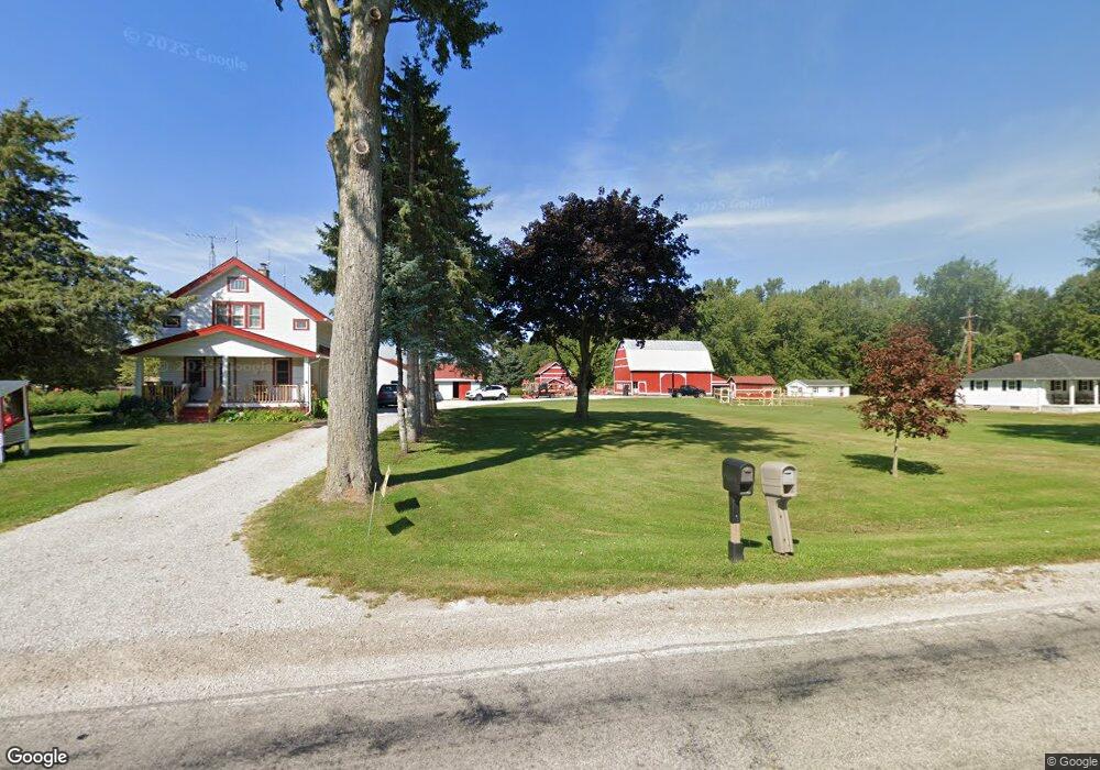
10551 Grafton Rd Carleton, MI 48117
Estimated Value: $279,000 - $406,000
About This Home
This home is located at 10551 Grafton Rd, Carleton, MI 48117 and is currently estimated at $338,789, approximately $241 per square foot. 10551 Grafton Rd is a home located in Monroe County with nearby schools including Airport Senior High School.
Ownership History
We collect this data history from publicly available records. To have your information removed, we recommend requesting removal directly through your county’s website.
Purchase Details
Purchase Details
Purchase Details
Home Financials for this Owner
Home Financials are based on the most recent Mortgage that was taken out on this home.Purchase Details
Home Financials for this Owner
Home Financials are based on the most recent Mortgage that was taken out on this home.Purchase Details
Home Values in the Area
Average Home Value in this Area
Purchase History
We collect this data history from publicly available records. To have your information removed, we recommend requesting removal directly through your county’s website.
| Date | Buyer | Sale Price | Title Company |
|---|---|---|---|
| -- | None Listed On Document | ||
| -- | None Listed On Document | ||
| -- | -- | ||
| $164,000 | -- | ||
| $183,326 | -- |
Mortgage History
We collect this data history from publicly available records. To have your information removed, we recommend requesting removal directly through your county’s website.
| Date | Status | Borrower | Loan Amount |
|---|---|---|---|
| Previous Owner | $125,000 | ||
| Previous Owner | $114,800 |
Tax History
We collect this data history from publicly available records. To have your information removed, we recommend requesting removal directly through your county’s website.
| Year | Tax Paid | Tax Assessment Tax Assessment Total Assessment is a certain percentage of the fair market value that is determined by local assessors to be the total taxable value of land and additions on the property. | Land | Improvement |
|---|---|---|---|---|
| 2025 | $987 | $139,100 | $139,100 | $0 |
| 2024 | $957 | $124,300 | $0 | $0 |
| 2023 | $912 | $100,400 | $0 | $0 |
| 2022 | $1,979 | $100,400 | $0 | $0 |
| 2021 | $1,907 | $100,400 | $0 | $0 |
| 2020 | $1,886 | $88,500 | $0 | $0 |
| 2019 | $1,845 | $88,500 | $0 | $0 |
| 2018 | $1,802 | $87,800 | $0 | $0 |
| 2017 | $1,698 | $87,800 | $0 | $0 |
| 2016 | $1,679 | $83,700 | $0 | $0 |
| 2015 | $1,716 | $69,400 | $0 | $0 |
| 2014 | $1,698 | $69,400 | $0 | $0 |
| 2013 | -- | $71,900 | $0 | $0 |
Map
- 750 E Labo Rd
- 0 W Sigler Rd
- 11952 Grafton Rd
- 2533 W Sigler Rd
- 0 Matthews St Unit 50204506
- 533 Center St
- 0000 Telegraph Rd
- 12377 Spencer Ln
- 12259 Eldora St
- 12660 Grafton Rd
- 12530 Harris St
- 0 N Telegraph Rd Unit 50189310
- 12747 Matthews St
- 2170 E Labo Rd
- 8551 Grafton Rd
- 1827 Newport Rd
- 9228 Garrett Trail Dr Unit 373
- 9273 Feather Hollow Dr
- 2183 Water Ridge Dr
- 1698 Solo Ln
- 10601 Grafton Rd
- 10627 Grafton Rd
- 10655 Grafton Rd
- 10505 Grafton Rd
- 154 Earle Dr
- 176 Earle Dr
- 200 Earle Dr
- 10487 Grafton Rd
- 242 Earle Dr
- 10641 Grafton Rd
- 220 Earle Dr
- 10566 Grafton Rd
- 10673 Grafton Rd
- 264 Earle Dr
- 10455 Grafton Rd
- 284 Earle Dr
- 167 Earle Dr
- 185 Earle Dr
- 10474 Grafton Rd
- 10685 Grafton Rd
Ask me questions while you tour the home.