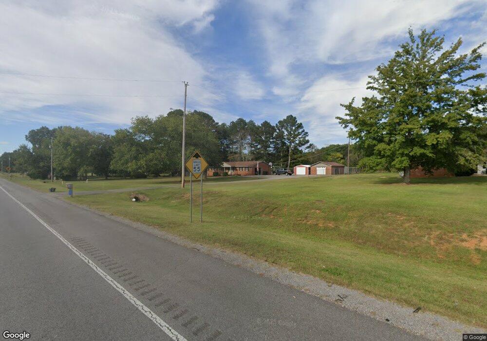
10551 Highway 431 S New Hope, AL 35760
Estimated Value: $150,000 - $205,000
--
Bed
1
Bath
1,350
Sq Ft
$127/Sq Ft
Est. Value
About This Home
This home is located at 10551 Highway 431 S, New Hope, AL 35760 and is currently estimated at $172,019, approximately $127 per square foot. 10551 Highway 431 S is a home with nearby schools including New Hope Elementary School and New Hope High School.
Ownership History
Date
Name
Owned For
Owner Type
Purchase Details
Closed on
Aug 28, 2020
Sold by
Grider Russell Ray and Grider Kevin Howard
Bought by
Grider Russell Ray and Grider Teresa Lynn
Current Estimated Value
Purchase Details
Closed on
Dec 2, 2016
Sold by
Randles Kenneth H and Randles Annette P
Bought by
Randles Teresa Lynn and Randles Kevin Howard
Purchase Details
Closed on
Sep 26, 2008
Sold by
Randles Kenneth Howard
Bought by
Randles Kenneth H and Randles Annette P
Create a Home Valuation Report for This Property
The Home Valuation Report is an in-depth analysis detailing your home's value as well as a comparison with similar homes in the area
Home Values in the Area
Average Home Value in this Area
Purchase History
| Date | Buyer | Sale Price | Title Company |
|---|---|---|---|
| Grider Russell Ray | $91,200 | None Available | |
| Randles Teresa Lynn | $100,000 | None Available | |
| Randles Kenneth H | -- | -- |
Source: Public Records
Mortgage History
| Date | Status | Borrower | Loan Amount |
|---|---|---|---|
| Closed | Randles Teresa Lynn | $0 |
Source: Public Records
Tax History Compared to Growth
Tax History
| Year | Tax Paid | Tax Assessment Tax Assessment Total Assessment is a certain percentage of the fair market value that is determined by local assessors to be the total taxable value of land and additions on the property. | Land | Improvement |
|---|---|---|---|---|
| 2024 | $452 | $11,540 | $1,440 | $10,100 |
| 2023 | $419 | $11,540 | $1,440 | $10,100 |
| 2022 | $379 | $10,540 | $1,440 | $9,100 |
| 2021 | $340 | $9,580 | $1,440 | $8,140 |
| 2020 | $321 | $9,120 | $1,440 | $7,680 |
| 2019 | $310 | $8,830 | $1,440 | $7,390 |
| 2018 | $310 | $8,840 | $0 | $0 |
| 2017 | $310 | $8,840 | $0 | $0 |
| 2016 | $310 | $8,840 | $0 | $0 |
| 2015 | $310 | $8,840 | $0 | $0 |
| 2014 | $301 | $8,620 | $0 | $0 |
Source: Public Records
Map
Nearby Homes
- 132 Stratman Dr
- 140 Stratman Dr
- 136 Stratman Dr
- 118 Huntview Dr
- 156 Stratman Dr
- 154 Stratman Dr
- 114 Jonboy Ave
- 113 Jonboy Ave
- 110 Jonboy Ave
- 111 Jonboy Ave
- 1305 B Plan at Huntland Estates
- 1401 B Plan at Huntland Estates
- Freeport Plan at Huntland Estates
- 1350 B Plan at Huntland Estates
- 1272 A Plan at Huntland Estates
- 1401 A Plan at Huntland Estates
- 1682 B Plan at Huntland Estates
- 1682 A Plan at Huntland Estates
- Kerry Plan at Huntland Estates
- 1227 A Plan at Huntland Estates
- 10541 Highway 431 S
- 10567 Highway 431 S
- 261 Hwy 431s
- 265 Race Track Rd
- 261 U S 431
- 10493 U S 431
- 00 Race Track Rd
- 303 Race Track Rd
- 313 Race Track Rd
- 142 Stratman Dr
- 130 Stratman Dr
- 298 Race Track Rd
- 144 Stratman Dr
- 201 Race Track Rd
- 146 Stratman Dr
- 0 S Hwy 431 Unit 1035359
- 0 S Hwy 431 Unit 1065069
- 148 Stratman Dr
- 333 Race Track Rd
- 1272 Stratman Dr