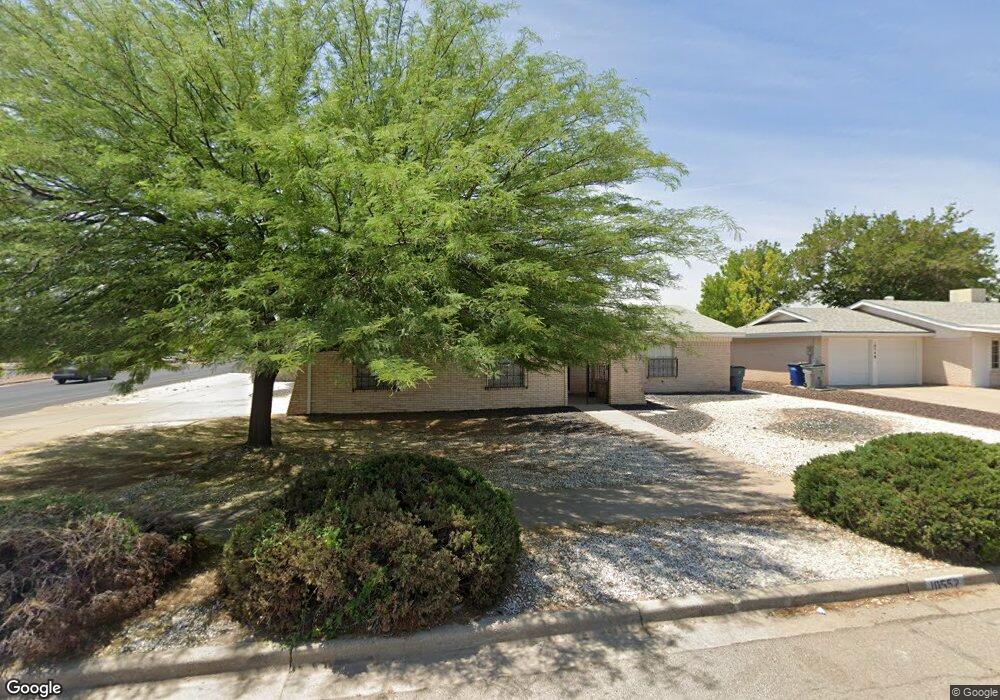
10552 Texwood Ave El Paso, TX 79925
Travis White NeighborhoodEstimated Value: $246,916 - $277,000
3
Beds
2
Baths
1,795
Sq Ft
$144/Sq Ft
Est. Value
About This Home
This home is located at 10552 Texwood Ave, El Paso, TX 79925 and is currently estimated at $258,729, approximately $144 per square foot. 10552 Texwood Ave is a home located in El Paso County with nearby schools including Eastwood Heights Elementary School, Eastwood High School, and St. Raphael School.
Ownership History
Date
Name
Owned For
Owner Type
Purchase Details
Closed on
Jan 11, 2023
Sold by
Gonzalez Rafael
Bought by
Gonzalez Carly B
Current Estimated Value
Purchase Details
Closed on
Nov 30, 2011
Sold by
Green Patricia and Gonzalez Patricia
Bought by
Gonzalez Ralph
Home Financials for this Owner
Home Financials are based on the most recent Mortgage that was taken out on this home.
Original Mortgage
$71,000
Interest Rate
4.13%
Mortgage Type
Seller Take Back
Create a Home Valuation Report for This Property
The Home Valuation Report is an in-depth analysis detailing your home's value as well as a comparison with similar homes in the area
Home Values in the Area
Average Home Value in this Area
Purchase History
| Date | Buyer | Sale Price | Title Company |
|---|---|---|---|
| Gonzalez Carly B | -- | -- | |
| Gonzalez Ralph | -- | None Available |
Source: Public Records
Mortgage History
| Date | Status | Borrower | Loan Amount |
|---|---|---|---|
| Previous Owner | Gonzalez Ralph | $71,000 |
Source: Public Records
Tax History Compared to Growth
Tax History
| Year | Tax Paid | Tax Assessment Tax Assessment Total Assessment is a certain percentage of the fair market value that is determined by local assessors to be the total taxable value of land and additions on the property. | Land | Improvement |
|---|---|---|---|---|
| 2025 | $4,454 | $252,737 | -- | -- |
| 2024 | $4,454 | $229,761 | $28,828 | $200,933 |
| 2023 | $6,387 | $219,457 | $28,828 | $190,629 |
| 2022 | $6,057 | $195,065 | $28,828 | $166,237 |
| 2021 | $5,496 | $169,085 | $28,828 | $140,257 |
| 2020 | $5,341 | $169,097 | $22,176 | $146,921 |
| 2018 | $5,216 | $167,724 | $22,176 | $145,548 |
| 2017 | $4,677 | $153,000 | $22,176 | $130,824 |
| 2016 | $4,508 | $147,491 | $22,176 | $125,315 |
| 2015 | $3,869 | $147,491 | $22,176 | $125,315 |
| 2014 | $3,869 | $159,537 | $22,176 | $137,361 |
Source: Public Records
Map
Nearby Homes
- 10533 Springwood Dr
- 10463 Davwood Ln
- 10481 Deepwood Ct
- 10233 Byway Dr
- 10313 Byway Dr
- 1955 Trawood Dr Unit 12
- 1909 Crow Dr
- 10412 Chinaberry Dr
- 10401 Springwood Dr
- 7936 Dogwood St
- 10304 Woodruff Ct
- 7921 Candlewood Ave
- 10309 Woodruff Ct
- 1649 Lomaland Dr
- 1730 Bara Dr
- 1644 Lomaland Dr Unit 169
- 10145 Camwood Dr
- 1207 Bois d Arc Dr
- 2105 Pacheco Dr
- 9801 Eastridge Dr
- 10548 Texwood Ave
- 10553 Springwood Dr
- 10549 Springwood Dr
- 10544 Texwood Ave
- 10553 Texwood Ave
- 10545 Sprinwood Dr
- 10549 Texwood Ave
- 10609 Cuatro Vistas Dr Unit AD
- 10540 Texwood Ave
- 10605 Cuatro Vistas Dr Unit AD
- 10605 Cuatro Vistas Dr Unit B
- 10605 Cuatro Vistas Dr Unit A
- 10605 Cuatro Vistas Dr Unit C
- 10605 Cuatro Vistas Dr Unit D
- 10545 Texwood Ave
- 10541 Springwood Dr
- 10613 Cuatro Vistas Dr Unit A
- 1740 Trawood Dr
- 10541 Texwood Ave
- 10601 Cuatro Vistas Dr Unit D