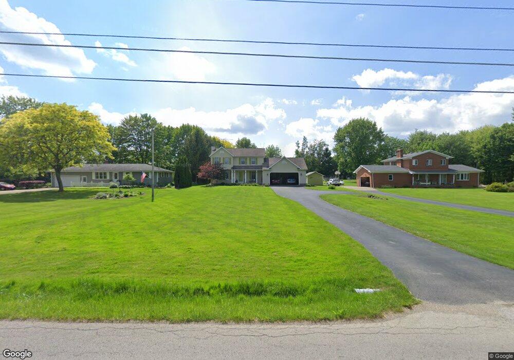
10556 Unity Rd New Middletown, OH 44442
Estimated Value: $276,000 - $409,000
3
Beds
3
Baths
1,960
Sq Ft
$173/Sq Ft
Est. Value
About This Home
This home is located at 10556 Unity Rd, New Middletown, OH 44442 and is currently estimated at $339,234, approximately $173 per square foot. 10556 Unity Rd is a home located in Mahoning County with nearby schools including Springfield Elementary School, Springfield Intermediate Middle School, and Springfield High School.
Ownership History
Date
Name
Owned For
Owner Type
Purchase Details
Closed on
Feb 9, 2022
Sold by
Ferrett Kathi T
Bought by
Ortenzio Roberto M and Ferrett Kathi T
Current Estimated Value
Purchase Details
Closed on
Jun 5, 2015
Sold by
Estate Of Paul B Ferrett
Bought by
Ferrett Kathi T
Purchase Details
Closed on
Mar 21, 1979
Bought by
Negovan Niklaus
Create a Home Valuation Report for This Property
The Home Valuation Report is an in-depth analysis detailing your home's value as well as a comparison with similar homes in the area
Home Values in the Area
Average Home Value in this Area
Purchase History
| Date | Buyer | Sale Price | Title Company |
|---|---|---|---|
| Ortenzio Roberto M | -- | -- | |
| Ferrett Kathi T | -- | Attorney | |
| Negovan Niklaus | -- | -- |
Source: Public Records
Tax History Compared to Growth
Tax History
| Year | Tax Paid | Tax Assessment Tax Assessment Total Assessment is a certain percentage of the fair market value that is determined by local assessors to be the total taxable value of land and additions on the property. | Land | Improvement |
|---|---|---|---|---|
| 2024 | $2,981 | $83,720 | $6,380 | $77,340 |
| 2023 | $2,956 | $83,720 | $6,380 | $77,340 |
| 2022 | $2,559 | $66,660 | $6,380 | $60,280 |
| 2021 | $2,968 | $66,660 | $6,380 | $60,280 |
| 2020 | $2,985 | $66,660 | $6,380 | $60,280 |
| 2019 | $2,749 | $59,260 | $6,380 | $52,880 |
| 2018 | $2,715 | $59,260 | $6,380 | $52,880 |
| 2017 | $2,712 | $59,260 | $6,380 | $52,880 |
| 2016 | $2,256 | $48,740 | $5,000 | $43,740 |
| 2015 | $2,195 | $48,740 | $5,000 | $43,740 |
| 2014 | $2,205 | $48,740 | $5,000 | $43,740 |
| 2013 | $2,184 | $48,740 | $5,000 | $43,740 |
Source: Public Records
Map
Nearby Homes
- 10250 Midway Dr
- 4035 Shelly Lynn Dr
- 4025 Shelly Lynn Dr
- 0 Sandy Ct Unit 5110511
- 170 Sandy Ct Unit 11
- 170 Sandy Ct Unit 7
- 10105 Carrie Ct
- 10115 Carrie Ct
- 0 Meadowbrook Dr Unit 5110501
- 93 Woodland Dr
- 0 Youngstown - Pittsburgh Rd Unit 5110475
- 56 Jeffrey Ln
- 76 Stacy Dr
- 4940 E Calla Rd
- 9825 Struthers Rd
- 29 Shores Dr
- 8736 Harvest Glenn Trail Unit 10
- 8740 Harvest Glenn Trail Unit 11
- 8748 Harvest Glenn Trail Unit 13
- 8744 Harvest Glenn Trail Unit 12
- 10540 Unity Rd
- 10574 Unity Rd
- 10613 Unity Rd
- 10642 Unity Rd
- 10505 Unity Rd
- 10450 Unity Rd
- 10631 Unity Rd
- 10674 Unity Rd
- 10430 Unity Rd
- 10677 Unity Rd
- 10681 Unity Rd
- 10407 Unity Rd
- 10710 Unity Rd
- 10513 Unity Rd
- 10465 Unity Rd
- 10739 Unity Rd
- 10364 Unity Rd
- 10361 Unity Rd
- 10330 Unity Rd
- 10530 Carrousel Woods Dr