10558 Wheat Rd New Park, PA 17352
Estimated Value: $269,237 - $388,000
3
Beds
2
Baths
1,040
Sq Ft
$316/Sq Ft
Est. Value
About This Home
This home is located at 10558 Wheat Rd, New Park, PA 17352 and is currently estimated at $328,559, approximately $315 per square foot. 10558 Wheat Rd is a home located in York County with nearby schools including South Eastern Intermediate School, South Eastern Middle School, and Kennard-Dale High School.
Ownership History
Date
Name
Owned For
Owner Type
Purchase Details
Closed on
Mar 17, 2014
Sold by
Hill Ryan M and Hill Erin M
Bought by
Hill Ryan M
Current Estimated Value
Home Financials for this Owner
Home Financials are based on the most recent Mortgage that was taken out on this home.
Original Mortgage
$145,000
Interest Rate
4.27%
Mortgage Type
New Conventional
Purchase Details
Closed on
Jul 15, 2003
Sold by
Hill Ryan M and Hill Erin M
Bought by
Hill Ryan M and Hill Erin M
Home Financials for this Owner
Home Financials are based on the most recent Mortgage that was taken out on this home.
Original Mortgage
$121,000
Interest Rate
5.88%
Mortgage Type
New Conventional
Create a Home Valuation Report for This Property
The Home Valuation Report is an in-depth analysis detailing your home's value as well as a comparison with similar homes in the area
Home Values in the Area
Average Home Value in this Area
Purchase History
| Date | Buyer | Sale Price | Title Company |
|---|---|---|---|
| Hill Ryan M | -- | None Available | |
| Hill Ryan M | -- | First American Title Ins Co |
Source: Public Records
Mortgage History
| Date | Status | Borrower | Loan Amount |
|---|---|---|---|
| Closed | Hill Ryan M | $145,000 | |
| Closed | Hill Ryan M | $121,000 |
Source: Public Records
Tax History Compared to Growth
Tax History
| Year | Tax Paid | Tax Assessment Tax Assessment Total Assessment is a certain percentage of the fair market value that is determined by local assessors to be the total taxable value of land and additions on the property. | Land | Improvement |
|---|---|---|---|---|
| 2025 | $4,133 | $137,090 | $55,000 | $82,090 |
| 2024 | $4,113 | $137,090 | $55,000 | $82,090 |
| 2023 | $4,113 | $137,090 | $55,000 | $82,090 |
| 2022 | $4,113 | $137,090 | $55,000 | $82,090 |
| 2021 | $3,961 | $137,090 | $55,000 | $82,090 |
| 2020 | $3,961 | $137,090 | $55,000 | $82,090 |
| 2019 | $3,947 | $137,090 | $55,000 | $82,090 |
| 2018 | $3,947 | $137,090 | $55,000 | $82,090 |
| 2017 | $3,939 | $137,090 | $55,000 | $82,090 |
| 2016 | $0 | $137,090 | $55,000 | $82,090 |
| 2015 | -- | $137,090 | $55,000 | $82,090 |
| 2014 | -- | $137,090 | $55,000 | $82,090 |
Source: Public Records
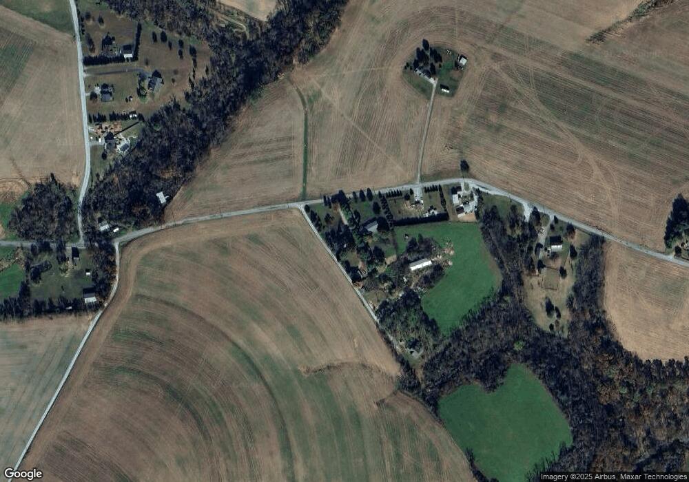
Map
Nearby Homes
- 9377 Hickory Rd
- 15792 Cross Mill Rd
- 14292 Kilgore Rd
- 370 High Rock Rd
- 18183 Piedmont Rd
- 18010 Dave Anne Cir
- 14754 Lowe Rd
- 140 Lantern Ln
- 387 Garvine Mill Rd
- 14639 Hyson School Rd
- 2131 Channel Rd
- 10 Black Oak Ct
- 200 Patterson Dr Unit 52
- 180 Patterson Dr Unit 50
- 170 Patterson Dr Unit 49
- 160 Patterson Dr Unit 48
- 119 Edie Cir
- 150 Patterson Dr Unit 47
- 515 Log House Rd Unit 119
- 2 S Main St
- 10584 Wheat Rd
- 10622 Wheat Rd
- 10538 Wheat Rd
- 10662 Wheat Rd
- 10413 Wheat Rd
- 10762 Wheat Rd
- 16905 Gun Club Rd
- 16969 Gun Club Rd
- 10344 Wheat Rd
- 16925 Gun Club Rd
- 16885 Gun Club Rd
- 10908 Wheat Rd
- 10234 Wheat Rd
- 16794 Gun Club Rd
- 17378 Maize Rd
- 10521 Blue Ball Rd
- 10555 Blue Ball Rd
- 10401 Blue Ball Rd
- 10363 Blue Ball Rd
- 10321 Blue Ball Rd