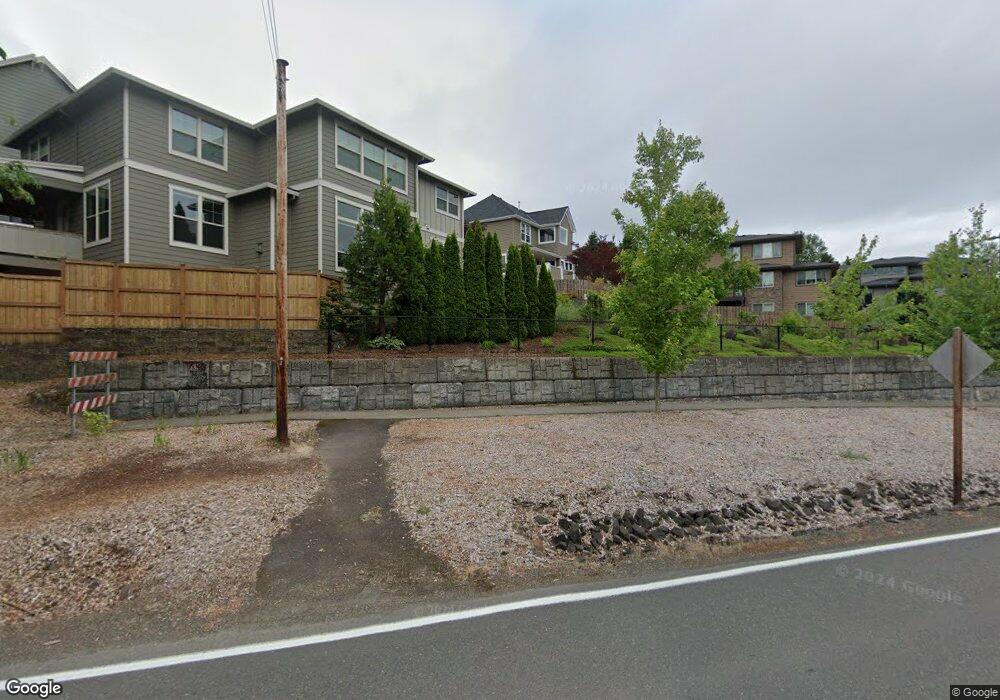
10559 NW Malia Ln Portland, OR 97229
Estimated Value: $893,000 - $975,000
4
Beds
3
Baths
2,701
Sq Ft
$344/Sq Ft
Est. Value
About This Home
This home is located at 10559 NW Malia Ln, Portland, OR 97229 and is currently estimated at $928,007, approximately $343 per square foot. 10559 NW Malia Ln is a home located in Washington County with nearby schools including Bonny Slope Elementary School, Sunset High School, and Montessori School Of Beaverton.
Ownership History
Date
Name
Owned For
Owner Type
Purchase Details
Closed on
Jul 14, 2008
Sold by
Timberridge Development Inc
Bought by
Smith Todd K and Smith Christine M
Current Estimated Value
Home Financials for this Owner
Home Financials are based on the most recent Mortgage that was taken out on this home.
Original Mortgage
$310,000
Outstanding Balance
$199,990
Interest Rate
6.07%
Mortgage Type
Unknown
Estimated Equity
$728,017
Purchase Details
Closed on
Mar 14, 2007
Sold by
Roundstone Development Co Inc
Bought by
Timberidge Development Inc
Create a Home Valuation Report for This Property
The Home Valuation Report is an in-depth analysis detailing your home's value as well as a comparison with similar homes in the area
Home Values in the Area
Average Home Value in this Area
Purchase History
| Date | Buyer | Sale Price | Title Company |
|---|---|---|---|
| Smith Todd K | $625,000 | Pacific Northwest Title Of O | |
| Timberidge Development Inc | $214,400 | Pacific Nw Title |
Source: Public Records
Mortgage History
| Date | Status | Borrower | Loan Amount |
|---|---|---|---|
| Open | Smith Todd K | $310,000 |
Source: Public Records
Tax History Compared to Growth
Tax History
| Year | Tax Paid | Tax Assessment Tax Assessment Total Assessment is a certain percentage of the fair market value that is determined by local assessors to be the total taxable value of land and additions on the property. | Land | Improvement |
|---|---|---|---|---|
| 2025 | $9,751 | $536,640 | -- | -- |
| 2024 | $9,156 | $521,010 | -- | -- |
| 2023 | $9,156 | $505,840 | $0 | $0 |
| 2022 | $8,847 | $505,840 | $0 | $0 |
| 2021 | $8,545 | $476,810 | $0 | $0 |
| 2020 | $8,286 | $462,930 | $0 | $0 |
| 2019 | $8,019 | $449,450 | $0 | $0 |
| 2018 | $7,758 | $436,360 | $0 | $0 |
| 2017 | $7,479 | $423,660 | $0 | $0 |
| 2016 | $7,211 | $411,330 | $0 | $0 |
| 2015 | $6,940 | $399,350 | $0 | $0 |
| 2014 | $6,797 | $387,720 | $0 | $0 |
Source: Public Records
Map
Nearby Homes
- 3096 NW Parkhurst Terrace
- 10703 NW Glenmore Way
- 3578 NW Gerritz Terrace
- 3042 NW Parkhurst Terrace
- 10626 NW Glenmore Way
- 10409 NW Burkhardt Ct
- 2964 NW Parkhurst Terrace
- 2377 NW Burkhart Dr
- 11102 NW Crystal Creek Ln
- 2910 NW Parkhurst Terrace
- 3536 NW 112th Place
- 10129 NW Langworthy Terrace
- 10117 NW Langworthy Terrace
- 10005 NW Thompson Rd
- 10071 NW Jack Ln Unit 83
- 2635 NW Kennedy Ct Unit 133
- 10010 NW Thompson Rd
- 10272 NW Edgewood Dr
- 9926 NW Justus Ln Unit 27
- 10264 NW Edgewood Dr
- 10575 NW Malia Ln
- 3550 NW 106th Place
- 10593 NW Malia Ln
- 3558 NW Knollview Dr
- 3514 NW Knollview Dr
- 10566 NW Malia Ln
- 10548 NW Malia Ln
- 10530 NW Malia Ln
- 10588 NW Malia Ln
- 3578 NW 106th Place
- 10617 NW Malia Ln
- 10512 NW Malia Ln
- 10444 NW Thompson Rd
- 3583 NW 106th Place
- 10624 NW Malia Ln
- 10635 NW Malia Ln
- 3569 NW 106th Place
- 10646 NW Malia Ln
- 10535 NW Thompson Rd
- 2931 NW Mcdaniel Rd