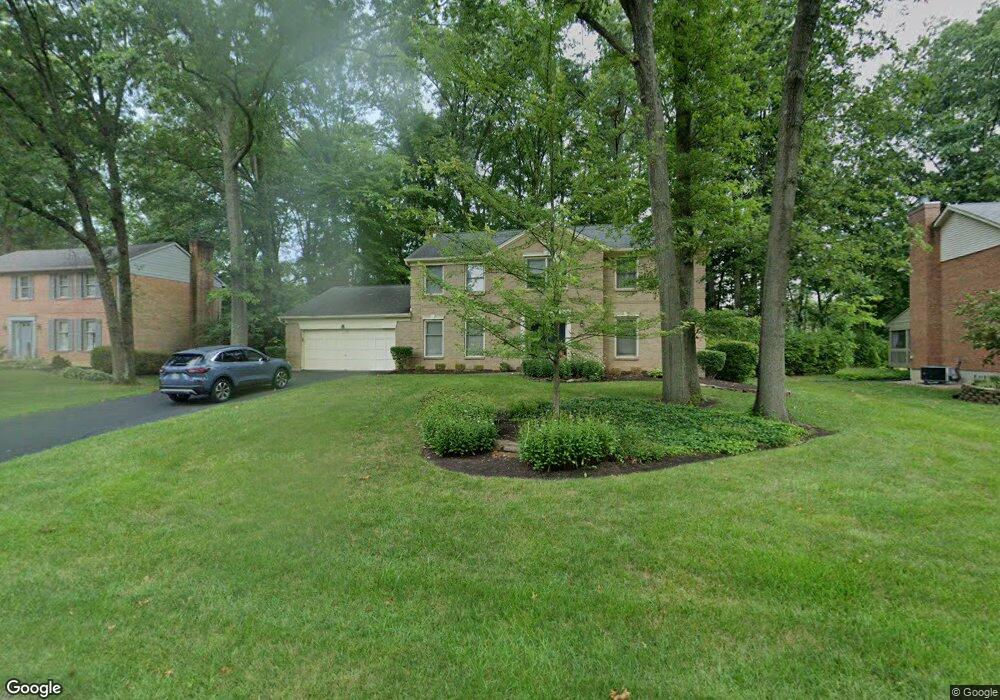
1056 Bridlepath Ln Loveland, OH 45140
Outer Loveland NeighborhoodEstimated Value: $455,407 - $531,000
3
Beds
3
Baths
2,560
Sq Ft
$188/Sq Ft
Est. Value
About This Home
This home is located at 1056 Bridlepath Ln, Loveland, OH 45140 and is currently estimated at $481,852, approximately $188 per square foot. 1056 Bridlepath Ln is a home located in Clermont County with nearby schools including Milford Senior High School, Milford Christian Academy, and St. Andrew - St. Elizabeth Ann Seton School.
Ownership History
Date
Name
Owned For
Owner Type
Purchase Details
Closed on
Aug 29, 1996
Sold by
Mcdonald William V
Bought by
Miller Wayne A and Miller Christine
Current Estimated Value
Home Financials for this Owner
Home Financials are based on the most recent Mortgage that was taken out on this home.
Original Mortgage
$93,000
Outstanding Balance
$8,057
Interest Rate
8.3%
Mortgage Type
New Conventional
Estimated Equity
$473,795
Create a Home Valuation Report for This Property
The Home Valuation Report is an in-depth analysis detailing your home's value as well as a comparison with similar homes in the area
Home Values in the Area
Average Home Value in this Area
Purchase History
| Date | Buyer | Sale Price | Title Company |
|---|---|---|---|
| Miller Wayne A | $170,000 | -- |
Source: Public Records
Mortgage History
| Date | Status | Borrower | Loan Amount |
|---|---|---|---|
| Open | Miller Wayne A | $93,000 |
Source: Public Records
Tax History Compared to Growth
Tax History
| Year | Tax Paid | Tax Assessment Tax Assessment Total Assessment is a certain percentage of the fair market value that is determined by local assessors to be the total taxable value of land and additions on the property. | Land | Improvement |
|---|---|---|---|---|
| 2024 | $5,622 | $121,380 | $21,910 | $99,470 |
| 2023 | $5,680 | $121,380 | $21,910 | $99,470 |
| 2022 | $5,377 | $87,290 | $15,750 | $71,540 |
| 2021 | $5,382 | $87,290 | $15,750 | $71,540 |
| 2020 | $5,163 | $87,290 | $15,750 | $71,540 |
| 2019 | $5,828 | $93,880 | $17,960 | $75,920 |
| 2018 | $5,830 | $93,880 | $17,960 | $75,920 |
| 2017 | $5,535 | $93,880 | $17,960 | $75,920 |
| 2016 | $5,617 | $82,360 | $15,750 | $66,610 |
| 2015 | $5,163 | $82,360 | $15,750 | $66,610 |
| 2014 | $5,163 | $82,360 | $15,750 | $66,610 |
| 2013 | $4,750 | $73,470 | $17,500 | $55,970 |
Source: Public Records
Map
Nearby Homes
- 1513 Charleston Ln
- 6211 Cook Rd
- 1113 Clover Field Dr
- 6141 Brandywine Ct
- 6379 Derbyshire Ln
- 6149 Century Farm Dr
- 6365 Ironwood Dr
- 5933 Firm Stance Dr
- 1331 Harbor Cove
- 1140 Weber Rd
- 2013 Weber Rd
- 6661 Paxton Guinea Rd
- 1803 Wheatfield Way
- 899 Murle Ln
- 709 Middleton Way
- 1706 Cottontail Dr
- 6211 Spires Dr
- 802 Andrea Dr
- 6469 Brittany Ln
- 945 Paul Vista Dr
- 1054 Bridlepath Ln
- 1058 Bridlepath Ln
- 1052 Bridlepath Ln
- 1060 Bridlepath Ln
- 6335 S Devonshire Dr
- 6337 S Devonshire Dr
- 1074 Tumbleweed Dr
- 6333 S Devonshire Dr
- 1073 Tumbleweed Dr
- 6339 S Devonshire Dr
- 1050 Bridlepath Ln
- 6331 S Devonshire Dr
- 1062 Bridlepath Ln
- 6341 S Devonshire Dr
- 1069 Bridlepath Ln
- 1076 Tumbleweed Dr
- 6329 S Devonshire Dr
- 1075 Tumbleweed Dr
- 1048 Bridlepath Ln
- 1064 Bridlepath Ln