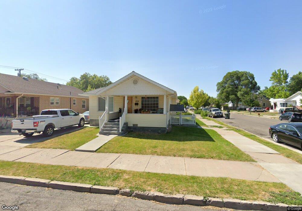
1056 E Lander St Pocatello, ID 83201
Downtown Pocatello NeighborhoodEstimated Value: $282,000 - $287,552
3
Beds
2
Baths
1,780
Sq Ft
$160/Sq Ft
Est. Value
About This Home
This home is located at 1056 E Lander St, Pocatello, ID 83201 and is currently estimated at $284,776, approximately $159 per square foot. 1056 E Lander St is a home located in Bannock County with nearby schools including Greenacres Elementary School, Irving Middle School, and Century High School.
Ownership History
Date
Name
Owned For
Owner Type
Purchase Details
Closed on
Oct 5, 2007
Sold by
Simpson Kenneth D and Simpson Cheryl L
Bought by
Murray Scott L and Madrld Jennifer L
Current Estimated Value
Home Financials for this Owner
Home Financials are based on the most recent Mortgage that was taken out on this home.
Original Mortgage
$110,000
Outstanding Balance
$68,715
Interest Rate
6.4%
Mortgage Type
New Conventional
Estimated Equity
$216,061
Create a Home Valuation Report for This Property
The Home Valuation Report is an in-depth analysis detailing your home's value as well as a comparison with similar homes in the area
Home Values in the Area
Average Home Value in this Area
Purchase History
| Date | Buyer | Sale Price | Title Company |
|---|---|---|---|
| Murray Scott L | -- | -- |
Source: Public Records
Mortgage History
| Date | Status | Borrower | Loan Amount |
|---|---|---|---|
| Open | Murray Scott L | $110,000 |
Source: Public Records
Tax History
| Year | Tax Paid | Tax Assessment Tax Assessment Total Assessment is a certain percentage of the fair market value that is determined by local assessors to be the total taxable value of land and additions on the property. | Land | Improvement |
|---|---|---|---|---|
| 2025 | $2,822 | $277,753 | $60,000 | $217,753 |
| 2024 | $3,122 | $241,358 | $60,000 | $181,358 |
| 2023 | $3,020 | $271,541 | $60,000 | $211,541 |
| 2022 | $3,020 | $180,288 | $18,144 | $162,144 |
| 2021 | $3,041 | $180,288 | $18,144 | $162,144 |
| 2020 | $2,618 | $166,191 | $18,144 | $148,047 |
| 2019 | $2,922 | $150,902 | $14,515 | $136,387 |
| 2018 | $2,656 | $119,513 | $12,960 | $106,553 |
| 2017 | $2,636 | $119,513 | $12,960 | $106,553 |
| 2016 | $2,614 | $119,513 | $12,960 | $106,553 |
| 2015 | $2,640 | $0 | $0 | $0 |
| 2012 | -- | $121,977 | $12,960 | $109,017 |
Source: Public Records
Map
Nearby Homes
- Lot 14 Block 2 E Lander St
- Lot 8 Block 1 E Lander St
- Lot 5 Block 1 E Lander St
- Lot 1 Block 1 E Lander St
- Lot 20 Block 2 E Lander St
- Lot 15 Block 2 E Lander St
- Lot 7 Block 1 E Lander St
- Lot 13 Block 2 E Lander St
- Lot 4 Block 2 E Lander St
- Lot 12 Block 2 E Lander St
- Lot 4 Block 1 E Lander St
- Lot 2 Block 1 E Lander St
- Lot 3 Block 1 E Lander St
- Lot 5 Block 2 E Lander St
- Lot 7 Block 2 E Lander St
- 1046 E Lander St
- 308 N 9th Ave
- 338 N 9th Ave
- 1221 E Fremont St
- 936 E Center St
- 257 N 10th Ave
- 310 N 10th Ave
- 316 N 10th Ave
- 322 N 10th Ave
- 1038 E Lander St
- 345 N 10th Ave
- 332 N 10th Ave
- 1037 E Lander St
- 1037 E Lander St Unit 1037 E Lander UPPR
- 348 N 10th Ave
- 245 N 10th Ave
- 254 N 10th Ave Unit 256
- 1105 E Lander St Unit 1115
- 1020 E Lander St
- 1025 E Lander St
- 235 N 10th Ave
- 347 N 10th Ave
- 1045 E Fremont St
- 1125 E Lander St
Your Personal Tour Guide
Ask me questions while you tour the home.