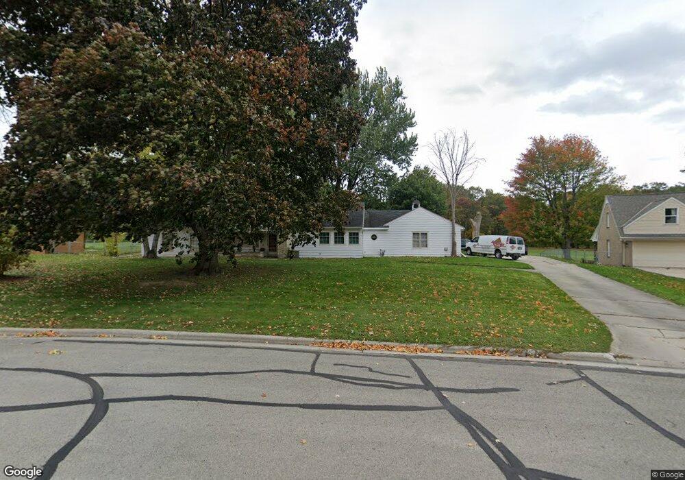
1056 Ernst Dr Green Bay, WI 54304
Colburn NeighborhoodEstimated Value: $266,000 - $314,000
--
Bed
--
Bath
--
Sq Ft
0.48
Acres
About This Home
This home is located at 1056 Ernst Dr, Green Bay, WI 54304 and is currently estimated at $288,665. 1056 Ernst Dr is a home located in Brown County with nearby schools including Jackson Elementary School, Franklin Middle School, and West High School.
Ownership History
Date
Name
Owned For
Owner Type
Purchase Details
Closed on
Jun 7, 2013
Sold by
Fronsee Faye M
Bought by
Brautigam Thomas A and Brautigam Barbara K
Current Estimated Value
Home Financials for this Owner
Home Financials are based on the most recent Mortgage that was taken out on this home.
Original Mortgage
$115,500
Outstanding Balance
$81,940
Interest Rate
3.43%
Mortgage Type
New Conventional
Estimated Equity
$206,725
Purchase Details
Closed on
Jun 13, 2001
Sold by
Fronsee Michael J
Bought by
Fronsee Faye M
Create a Home Valuation Report for This Property
The Home Valuation Report is an in-depth analysis detailing your home's value as well as a comparison with similar homes in the area
Home Values in the Area
Average Home Value in this Area
Purchase History
| Date | Buyer | Sale Price | Title Company |
|---|---|---|---|
| Brautigam Thomas A | -- | None Available | |
| Fronsee Faye M | -- | -- |
Source: Public Records
Mortgage History
| Date | Status | Borrower | Loan Amount |
|---|---|---|---|
| Open | Brautigam Thomas A | $115,500 |
Source: Public Records
Tax History Compared to Growth
Tax History
| Year | Tax Paid | Tax Assessment Tax Assessment Total Assessment is a certain percentage of the fair market value that is determined by local assessors to be the total taxable value of land and additions on the property. | Land | Improvement |
|---|---|---|---|---|
| 2024 | $3,404 | $185,600 | $43,700 | $141,900 |
| 2023 | $3,238 | $185,600 | $43,700 | $141,900 |
| 2022 | $3,176 | $185,600 | $43,700 | $141,900 |
| 2021 | $3,313 | $146,000 | $35,100 | $110,900 |
| 2020 | $3,355 | $146,000 | $35,100 | $110,900 |
| 2019 | $3,248 | $146,000 | $35,100 | $110,900 |
| 2018 | $3,174 | $146,000 | $35,100 | $110,900 |
| 2017 | $3,138 | $146,000 | $35,100 | $110,900 |
| 2016 | $3,088 | $146,000 | $35,100 | $110,900 |
| 2015 | $3,188 | $146,000 | $35,100 | $110,900 |
| 2014 | $3,278 | $146,000 | $35,100 | $110,900 |
| 2013 | $3,278 | $146,000 | $35,100 | $110,900 |
Source: Public Records
Map
Nearby Homes
- 1286 7th St
- 1255 Loch Dr
- 1123 S Fisk St
- 1201 S Fisk St
- 1252 Marian Ln
- 1427 Russell St
- 838 S Fisk St
- 1203 Spence St
- 1527 N Mennen Ct
- 1212 9th St
- 1181 Roscoe St
- 1428 Beauchamp St
- 1526 Rockdale St
- 1500 S Fisk St
- 1348 Liberty St
- 1444 Liberty St
- 1128 Marquette Ave
- 1244 Liberty St
- 1110 Roscoe St
- 1273 San Jose Place