Estimated Value: $156,000 - $696,000
4
Beds
4
Baths
5,200
Sq Ft
$66/Sq Ft
Est. Value
About This Home
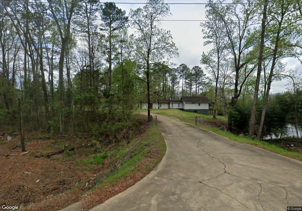
This home is located at 1056 Fosters Mill Rd SW, Rome, GA 30161 and is currently estimated at $341,886, approximately $65 per square foot. 1056 Fosters Mill Rd SW is a home located in Floyd County with nearby schools including Coosa Middle School and Coosa High School.
Ownership History
Date
Name
Owned For
Owner Type
Purchase Details
Closed on
Apr 11, 2012
Bought by
P and R
Current Estimated Value
Purchase Details
Closed on
Mar 27, 2012
Bought by
P and R
Purchase Details
Closed on
Oct 7, 2011
Sold by
Evans Delores J
Bought by
Sweeden Stuart W
Purchase Details
Closed on
Oct 20, 2006
Sold by
Not Provided
Bought by
Evans Sidney R and Evans Dolores J
Purchase Details
Closed on
Dec 12, 1988
Bought by
P and R
Purchase Details
Closed on
Sep 9, 1981
Bought by
Evans Sidney R
Create a Home Valuation Report for This Property
The Home Valuation Report is an in-depth analysis detailing your home's value as well as a comparison with similar homes in the area
Home Values in the Area
Average Home Value in this Area
Purchase History
| Date | Buyer | Sale Price | Title Company |
|---|---|---|---|
| P | -- | -- | |
| P | -- | -- | |
| Sweeden Stuart W | $230,000 | -- | |
| Evans Dolores | $69,000 | -- | |
| Evans Sidney R | -- | -- | |
| P | -- | -- | |
| Evans Sidney R | -- | -- |
Source: Public Records
Tax History Compared to Growth
Tax History
| Year | Tax Paid | Tax Assessment Tax Assessment Total Assessment is a certain percentage of the fair market value that is determined by local assessors to be the total taxable value of land and additions on the property. | Land | Improvement |
|---|---|---|---|---|
| 2024 | $844 | $55,932 | $39,066 | $16,866 |
| 2023 | $779 | $55,652 | $39,066 | $16,586 |
| 2022 | $644 | $43,016 | $30,288 | $12,728 |
| 2021 | $570 | $32,490 | $21,635 | $10,855 |
| 2020 | $551 | $29,630 | $19,145 | $10,485 |
| 2019 | $532 | $29,391 | $19,145 | $10,246 |
| 2018 | $510 | $26,522 | $16,654 | $9,868 |
| 2017 | $504 | $26,440 | $16,654 | $9,786 |
| 2016 | $505 | $26,440 | $16,640 | $9,800 |
| 2015 | $893 | $26,680 | $16,640 | $10,040 |
| 2014 | $893 | $27,200 | $1,520 | $25,680 |
Source: Public Records
Map
Nearby Homes
- 0 Morton Bend Rd SW Unit 7665378
- 0 Morton Bend Rd SW Unit 10638763
- LT 5 Morton Bend Rd
- 458 Kraftsman Rd SW
- 775 Mays Bridge Rd SW
- 26 Red Fox Dr SW
- 5 Red Fox Dr SW
- 0 Alabama Hwy Unit 7494552
- 0 Alabama Hwy Unit 7635346
- 0 Alabama Hwy Unit 10590171
- 0 Ausburn Rd SW Unit 10611100
- 1865 Morton Bend Rd
- 3 Cedar Ln NW
- 43 Brownlow Dr NW
- 10 Eagle Dr NW
- 36 Stargazer Trail NW
- 33 Cedar Ln NW
- 0 Old Blacks Bluff Rd SW Unit 10652523
- 47 Boyd Rd SW
- 0 McGee Bend Rd SW Unit 10351960
- 1041 Fosters Mill Rd SW
- 1041 Fosters Mill Rd SW
- 1372 Fosters Mill Rd SW
- 992 Fosters Mill Rd SW
- 990 Fosters Mill Rd SW
- 965 Fosters Mill Rd SW
- 1235 S Fosters Mill Rd SW
- 1248 Fosters Mill Rd SW
- 1234 Fosters Mill Rd SW
- 1380 Fosters Mill Rd SW
- 861 Fosters Mill Rd SW
- 4029 Morton Bend Rd SW
- 1317 Fosters Mill Rd SW
- 4099 Morton Bend Rd SW
- 1477 Fosters Mill Rd SW
- 4376 Morton Bend Rd SW
- 3861 Morton Bend Rd SW
- 3991 Morton Bend Rd SW
- 3991 Morton Bend Rd SW
- 4017 Morton Bend Rd SW