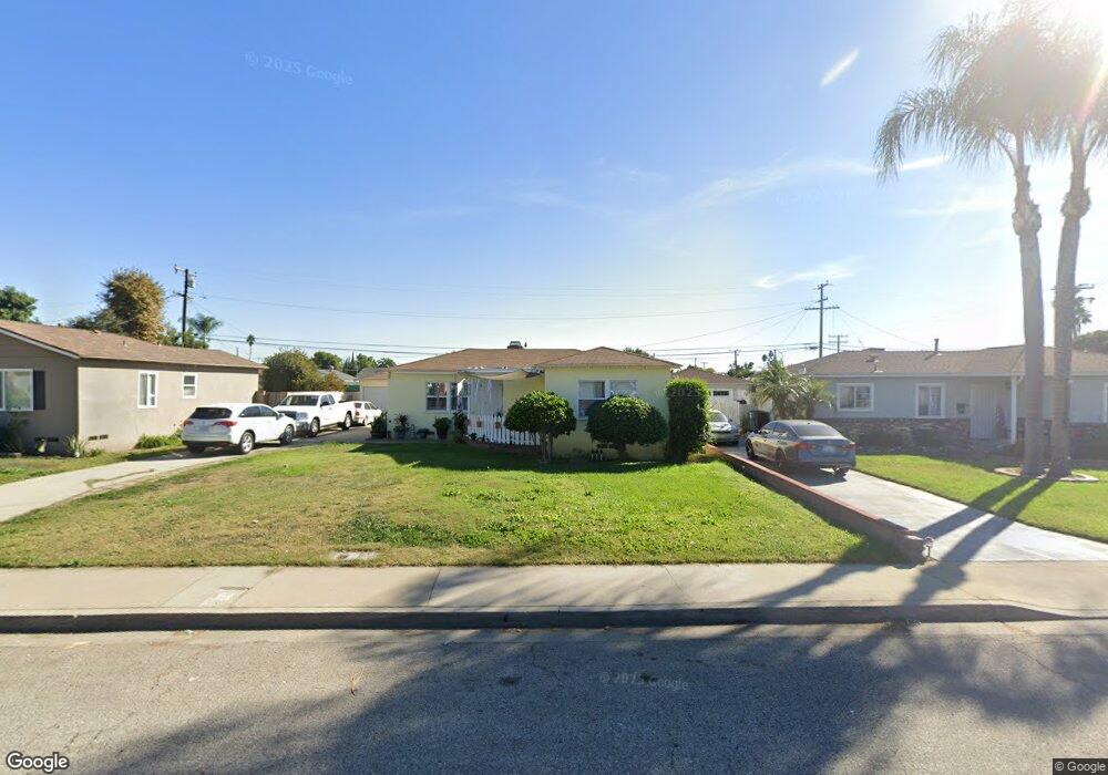
1056 Groff St Pomona, CA 91768
Ganesha NeighborhoodEstimated Value: $618,000 - $781,000
3
Beds
2
Baths
1,264
Sq Ft
$544/Sq Ft
Est. Value
About This Home
This home is located at 1056 Groff St, Pomona, CA 91768 and is currently estimated at $687,492, approximately $543 per square foot. 1056 Groff St is a home located in Los Angeles County with nearby schools including Roosevelt Elementary School, Marshall Middle School, and Ganesha High School.
Ownership History
Date
Name
Owned For
Owner Type
Purchase Details
Closed on
Nov 21, 2008
Sold by
Gaul Dorothy and Gaul Trust
Bought by
Dominguez David
Current Estimated Value
Home Financials for this Owner
Home Financials are based on the most recent Mortgage that was taken out on this home.
Original Mortgage
$151,607
Interest Rate
5.04%
Mortgage Type
FHA
Purchase Details
Closed on
May 9, 1996
Sold by
Gaul Raymond Joseph
Bought by
Gaul Raymond J and Gaul Dorothy M
Create a Home Valuation Report for This Property
The Home Valuation Report is an in-depth analysis detailing your home's value as well as a comparison with similar homes in the area
Home Values in the Area
Average Home Value in this Area
Purchase History
We collect this data history from publicly available records. To have your information removed, we recommend requesting removal directly through your county’s website.
| Date | Buyer | Sale Price | Title Company |
|---|---|---|---|
| Dominguez David | $220,000 | Chicago Title Company | |
| Gaul Raymond J | -- | -- |
Source: Public Records
Mortgage History
We collect this data history from publicly available records. To have your information removed, we recommend requesting removal directly through your county’s website.
| Date | Status | Borrower | Loan Amount |
|---|---|---|---|
| Previous Owner | Dominguez David | $151,607 |
Source: Public Records
Tax History
| Year | Tax Paid | Tax Assessment Tax Assessment Total Assessment is a certain percentage of the fair market value that is determined by local assessors to be the total taxable value of land and additions on the property. | Land | Improvement |
|---|---|---|---|---|
| 2025 | $4,144 | $283,292 | $122,587 | $160,705 |
| 2024 | $3,780 | $277,738 | $120,184 | $157,554 |
| 2023 | $3,706 | $272,293 | $117,828 | $154,465 |
| 2022 | $3,648 | $266,955 | $115,518 | $151,437 |
| 2021 | $3,564 | $261,721 | $113,253 | $148,468 |
| 2019 | $3,637 | $253,960 | $109,895 | $144,065 |
| 2018 | $3,307 | $248,982 | $107,741 | $141,241 |
| 2016 | $3,103 | $239,315 | $103,558 | $135,757 |
| 2015 | $3,076 | $235,721 | $102,003 | $133,718 |
| 2014 | $3,059 | $231,104 | $100,005 | $131,099 |
Source: Public Records
Map
Nearby Homes
- 906 Lemon Dr
- 1045 Casa Hermosa Dr
- 884 Lewis St
- 1240 Prabhu Way
- 1385 Estel Dr
- 669 ,687,651 Weber St
- 737 Lewis St
- 848 Laurel Ave
- 1204 Hillside Dr
- 1443 Laurel Ave
- 1320 Jacqueline Dr
- 1263 Douglass Dr
- 616 W Wilson St
- 1435 Elwood St
- 908 Werly Dr
- 1574 Laurel Ave
- 1163 N White Ave
- 1551 Stratus Dr
- 1563 Stratus Dr
- 1313 Nimbus Ct
Your Personal Tour Guide
Ask me questions while you tour the home.