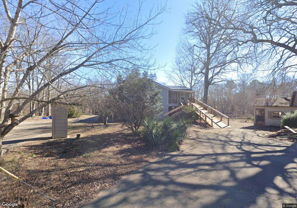
1056 Kincade Rd Columbus, MS 39702
Estimated Value: $206,000 - $269,000
3
Beds
2
Baths
2,000
Sq Ft
$119/Sq Ft
Est. Value
About This Home
This home is located at 1056 Kincade Rd, Columbus, MS 39702 and is currently estimated at $237,462, approximately $118 per square foot. 1056 Kincade Rd is a home located in Lowndes County.
Ownership History
Date
Name
Owned For
Owner Type
Purchase Details
Closed on
May 23, 2024
Sold by
Potts Parish P and Potts Rachael S
Bought by
Keasler David and Keasler Sherry
Current Estimated Value
Home Financials for this Owner
Home Financials are based on the most recent Mortgage that was taken out on this home.
Original Mortgage
$190,120
Outstanding Balance
$187,279
Interest Rate
6.88%
Mortgage Type
New Conventional
Estimated Equity
$50,183
Purchase Details
Closed on
Nov 16, 2017
Sold by
Mcgill Rickey L and Williams Hilbert
Bought by
Thrash Matthew R and Thrash Mary Katheryn
Home Financials for this Owner
Home Financials are based on the most recent Mortgage that was taken out on this home.
Original Mortgage
$116,844
Interest Rate
3.88%
Mortgage Type
FHA
Purchase Details
Closed on
Jan 19, 2017
Sold by
Caldwell J Patrick
Bought by
Mcgill Rickey and Williams Hilbert
Create a Home Valuation Report for This Property
The Home Valuation Report is an in-depth analysis detailing your home's value as well as a comparison with similar homes in the area
Purchase History
| Date | Buyer | Sale Price | Title Company |
|---|---|---|---|
| Keasler David | -- | None Listed On Document | |
| Keasler David | -- | None Listed On Document | |
| Thrash Matthew R | -- | None Available | |
| Mcgill Rickey | -- | None Available |
Source: Public Records
Mortgage History
| Date | Status | Borrower | Loan Amount |
|---|---|---|---|
| Open | Keasler David | $190,120 | |
| Closed | Keasler David | $190,120 | |
| Previous Owner | Thrash Matthew R | $116,844 |
Source: Public Records
Tax History
| Year | Tax Paid | Tax Assessment Tax Assessment Total Assessment is a certain percentage of the fair market value that is determined by local assessors to be the total taxable value of land and additions on the property. | Land | Improvement |
|---|---|---|---|---|
| 2025 | $1,182 | $15,152 | $0 | $0 |
| 2024 | $1,182 | $15,275 | $0 | $0 |
| 2023 | $842 | $11,821 | $0 | $0 |
| 2022 | $1,715 | $17,732 | $0 | $0 |
| 2021 | $801 | $11,821 | $0 | $0 |
| 2020 | $740 | $11,821 | $0 | $0 |
| 2019 | $753 | $11,650 | $0 | $0 |
| 2018 | $753 | $11,602 | $0 | $0 |
| 2017 | $305 | $17,403 | $0 | $0 |
| 2016 | $305 | $11,014 | $0 | $0 |
| 2015 | $334 | $11,354 | $0 | $0 |
| 2014 | $334 | $11,354 | $0 | $0 |
Source: Public Records
Map
Nearby Homes
- 00 Spurlock Rd
- 0 Riverside Dr
- 0 Spurlock Rd
- 706 Sobley Camp Rd
- 9385 Nashville Ferry Rd E
- 969 Porter Rd
- 800 Hairston Bend Rd
- 2077 Pumpkin Creek Rd
- 2094 Pumpkin Creek Rd
- 0 E Minnie Vaughn Rd
- 1090 Valley Grain Rd
- 165 Cypress Lake Dr
- 3400 Pine Grove Rd
- 1553 Hildreth Rd
- 611 Thornton Dr
- 0 Golding Cir
- 479 Bryant Rd
- 76 Richardson Rd
- 805 Timber Creek Dr
- 521 Rivermont Cir
Your Personal Tour Guide
Ask me questions while you tour the home.