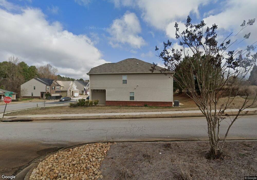
1056 Lear Dr Unit 421 Locust Grove, GA 30248
Estimated Value: $275,000 - $312,000
4
Beds
3
Baths
1,976
Sq Ft
$151/Sq Ft
Est. Value
About This Home
This home is located at 1056 Lear Dr Unit 421, Locust Grove, GA 30248 and is currently estimated at $297,651, approximately $150 per square foot. 1056 Lear Dr Unit 421 is a home located in Henry County with nearby schools including Locust Grove Elementary School, Locust Grove Middle School, and Locust Grove High School.
Ownership History
Date
Name
Owned For
Owner Type
Purchase Details
Closed on
Sep 14, 2021
Sold by
Moore Deandre C
Bought by
Sfr Jv 2 Property Llc
Current Estimated Value
Purchase Details
Closed on
Sep 28, 2018
Sold by
Dr Horton Inc
Bought by
Moore Deandre C
Home Financials for this Owner
Home Financials are based on the most recent Mortgage that was taken out on this home.
Original Mortgage
$185,478
Interest Rate
5.5%
Mortgage Type
FHA
Purchase Details
Closed on
May 30, 2014
Sold by
Res Ga Two Llc
Bought by
Gdic Ga 5 Lp
Create a Home Valuation Report for This Property
The Home Valuation Report is an in-depth analysis detailing your home's value as well as a comparison with similar homes in the area
Home Values in the Area
Average Home Value in this Area
Purchase History
| Date | Buyer | Sale Price | Title Company |
|---|---|---|---|
| Sfr Jv 2 Property Llc | $295,000 | -- | |
| Moore Deandre C | $188,900 | -- | |
| Gdic Ga 5 Lp | $2,431,000 | -- |
Source: Public Records
Mortgage History
| Date | Status | Borrower | Loan Amount |
|---|---|---|---|
| Previous Owner | Moore Deandre C | $185,478 |
Source: Public Records
Tax History
| Year | Tax Paid | Tax Assessment Tax Assessment Total Assessment is a certain percentage of the fair market value that is determined by local assessors to be the total taxable value of land and additions on the property. | Land | Improvement |
|---|---|---|---|---|
| 2025 | $5,012 | $127,960 | $14,780 | $113,180 |
| 2024 | $5,012 | $130,160 | $16,000 | $114,160 |
| 2023 | $4,930 | $135,360 | $21,200 | $114,160 |
| 2022 | $3,722 | $101,040 | $21,200 | $79,840 |
| 2021 | $2,745 | $85,320 | $21,200 | $64,120 |
| 2020 | $2,566 | $76,400 | $12,000 | $64,400 |
| 2019 | $2,510 | $73,880 | $12,000 | $61,880 |
| 2018 | $0 | $10,800 | $10,800 | $0 |
| 2016 | $146 | $4,000 | $4,000 | $0 |
| 2015 | $128 | $4,000 | $4,000 | $0 |
| 2014 | $82 | $2,160 | $2,160 | $0 |
Source: Public Records
Map
Nearby Homes
- 171 Al Jennah Blvd
- 170 Al Jennah Blvd
- 219 Ferguson Ave
- 523 Carleton Place
- 2031 Theberton Trail
- 409 Kirkland Dr
- 313 Harris Ave
- 143 Massey Ln
- 0 Locust Rd Unit 10495072
- 0 Locust Rd Unit 19967321
- 269 Baumgard Way
- 188 Sophie Cir
- 830 Trillium Dr
- 0 Jackson St Unit 10554689
- 198 Aster Ave
- 190 Aster Ave
- 191 Aster Ave
- 1537 Jackson St
- 114 Aster Ave
- 353 Arnica Dr
- 1056 Lear Dr
- 1058 Lear Dr
- 1058 Lear Dr Unit 420
- 1060 Lear Dr
- 1062 Lear Dr Unit 418
- 1062 Lear Dr
- 1054 Lear Dr Unit 347
- 1063 Lear Dr
- 1063 Lear Dr Unit 426
- 1064 Lear Dr Unit 417
- 1065 Lear Dr
- 1320 Elmstead Place Unit Firefly
- 1320 Elmstead Place Unit Hawking
- 1320 Elmstead Place Unit Spectra
- 1320 Elmstead Place Unit Solstice
- 1320 Elmstead Place Unit Galileo
- 100 Al Jennah Blvd
- 100 Jennah Blvd
- 1052 Lear Dr
- 1053 Lear Dr
Your Personal Tour Guide
Ask me questions while you tour the home.