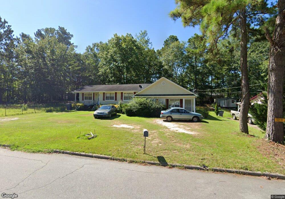
1056 Mason St Lagrange, GA 30241
Estimated Value: $102,000 - $246,000
5
Beds
3
Baths
2,186
Sq Ft
$78/Sq Ft
Est. Value
About This Home
This home is located at 1056 Mason St, Lagrange, GA 30241 and is currently estimated at $171,461, approximately $78 per square foot. 1056 Mason St is a home located in Troup County with nearby schools including Hollis Hand Elementary School, Franklin Forest Elementary School, and Ethel W. Kight Elementary School.
Ownership History
Date
Name
Owned For
Owner Type
Purchase Details
Closed on
Apr 23, 1996
Sold by
Stevie Jackson
Bought by
Dandy Duran G
Current Estimated Value
Purchase Details
Closed on
May 1, 1987
Bought by
Stevie Jackson
Purchase Details
Closed on
Apr 6, 1987
Sold by
Jim Walter Homes
Purchase Details
Closed on
Nov 1, 1986
Sold by
Fannie John and Fannie Moore
Bought by
Jim Walter Homes
Purchase Details
Closed on
Oct 13, 1984
Sold by
Charlie White
Bought by
Fannie John and Fannie Moore
Purchase Details
Closed on
Jan 1, 1971
Sold by
Hixson
Bought by
Charlie White
Purchase Details
Closed on
Jan 1, 1959
Sold by
Peavy E H
Bought by
Hixson
Create a Home Valuation Report for This Property
The Home Valuation Report is an in-depth analysis detailing your home's value as well as a comparison with similar homes in the area
Home Values in the Area
Average Home Value in this Area
Purchase History
| Date | Buyer | Sale Price | Title Company |
|---|---|---|---|
| Dandy Duran G | $35,000 | -- | |
| Stevie Jackson | -- | -- | |
| -- | $31,500 | -- | |
| Jim Walter Homes | -- | -- | |
| Fannie John | -- | -- | |
| Charlie White | -- | -- | |
| Hixson | -- | -- |
Source: Public Records
Tax History Compared to Growth
Tax History
| Year | Tax Paid | Tax Assessment Tax Assessment Total Assessment is a certain percentage of the fair market value that is determined by local assessors to be the total taxable value of land and additions on the property. | Land | Improvement |
|---|---|---|---|---|
| 2024 | $377 | $42,880 | $3,880 | $39,000 |
| 2023 | $151 | $42,880 | $3,880 | $39,000 |
| 2022 | $280 | $42,880 | $3,880 | $39,000 |
| 2021 | $350 | $40,320 | $2,160 | $38,160 |
| 2020 | $915 | $40,320 | $2,160 | $38,160 |
| 2019 | $878 | $39,080 | $2,160 | $36,920 |
| 2018 | $878 | $39,080 | $2,160 | $36,920 |
| 2017 | $880 | $39,146 | $2,180 | $36,966 |
| 2016 | $880 | $39,146 | $2,180 | $36,966 |
| 2015 | $797 | $39,146 | $2,180 | $36,966 |
| 2014 | $742 | $40,643 | $2,180 | $38,463 |
| 2013 | -- | $39,070 | $2,172 | $36,898 |
Source: Public Records
Map
Nearby Homes
- 1017 Mason St
- 957 Kelley St
- 0 Kelley St Unit 10550311
- LOT 4 Borton St
- LOT 3 Borton St
- LOT 5 Borton St
- LOT 6 Borton St
- 913 Arizona St Unit A AND B
- 215 Poplar Cir
- 626 Smoot St
- 510 Smoot St
- 75 Thomas Rd
- 0 Brown St Unit 10550761
- 0 Brown St Unit 10550754
- 0 E Render St
- 319 Cooley Rd
- 117 Belk St
- 203 Revis St
- 205 Revis St
- 137 Edgewood Ave